By Outdoor Next Editorial standards
On this page
Key facts
- Distance
- 2.2 km loop, using the Akl Paths route listing
- Walking time
- 50 min loop, before stops
- Track grade
- Coastal descent and uphill return; formal grade not verified
- Start
- Log Race Road / end of Te Ahuahu Road, above Piha
- Route choice
- Clockwise from the southern side of the car park
- Dogs
- Current route-specific permission not independently verified; ask council before bringing a dog
Checked against official sources on 12 October 2026. Rules and conditions are set by Auckland Council — confirm with them before you go.
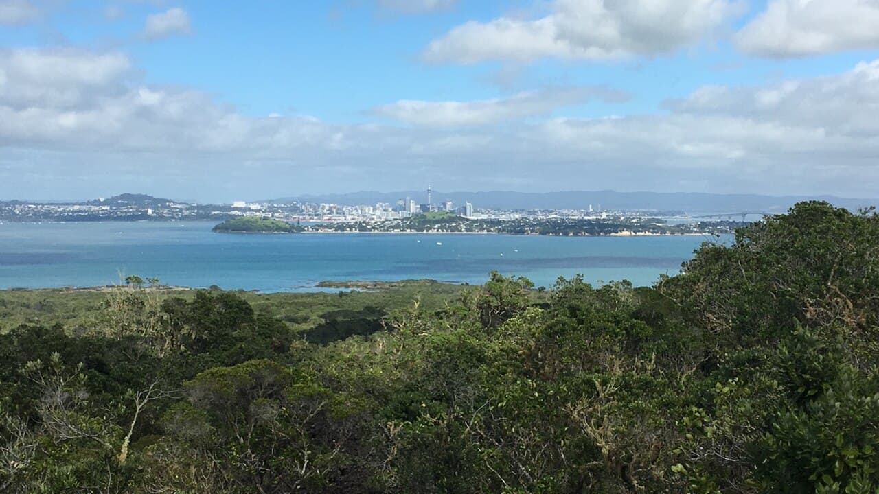
Mercer Bay Loop is a short clifftop walk above Piha, with views from Te Ahua headland and a climb back to the start. Akl Paths lists Mercer Bay Loop as 2.2 km and 50 minutes; that excludes driving and stops. Choose it for a compact coastal outing, not a flat stroll or a route down to the beach.
Choose the short loop
| Plan | What to allow for |
|---|---|
| Marked Mercer Bay circuit | Council's 2.2 km / 50 min listing, plus stops |
| Headland and lookout | Remain on the marked path around the former pā site |
| Comans Track extension | A separate descent towards Karekare and an additional uphill return |
The Akl Paths listing is the basis for the short-loop figures. Other walking combinations can share part of the same ground without sharing the same distance. Agree on the loop before starting, especially if someone in the group has limited energy for climbing.
Getting to the start
Council describes the start at the end of Te Ahuahu Road; Discover Auckland's directions use Log Race Road. Identify the named loop entrance and the cleaning station before leaving the car park. This guide does not supply an independently verified trailhead coordinate or guarantee a parking space.
Keep the walking time separate from the road journey. Leave room to park without blocking an entrance, read the noticeboard and prepare your footwear. If you cannot park legally, use another outing rather than treating roadside space as an overflow car park. Any transport pickup also needs a clearly agreed meeting point, not simply the name of the bay.
Clockwise around Te Ahua
The clockwise route descends towards Te Ahua headland before climbing back to the car park. Discover Auckland recommends beginning from the southern side of the car park, cleaning footwear at the station and following the path through low regenerating forest. At the junction, keep right for the former pā site; the left-hand option is Comans Track.
The headland is significant to Te Kawerau a Maki. Look at the pou and interpretation from the permitted path, then follow the circuit back towards the northern end of the car park. Leave the archaeological landscape undisturbed. The lookout is a place to pause, not a reason to leave the track to find an unobstructed photograph.
Comans Track is a separate descent towards Karekare, not part of the short loop. A junction can make an extension look convenient, but the climb back still belongs in the day's plan. Do not add it on the assumption that the 50-minute loop estimate covers both routes.
Terrain and weather
The descent comes before the uphill finish. Keep some energy, drinking water and daylight for that return, and assess the route against the least confident person's comfort on coastal ground. There is no independently verified formal grade in this guide; a short distance alone does not establish suitability for a buggy, wheelchair or someone uncomfortable near heights.
Use the Land Safety Code: check the local forecast, share your plan, take weather layers and make decisions together. If wind or footing feels uncomfortable, turning around early is a complete outing. Do not seek an informal beach descent as a substitute for the marked circuit.
Access and dogs
Check council access notices before travelling; a published route is not a live opening assurance. The council recovery table names Mercer Bay, but it is not a dated forecast of the conditions on your visit. Obey barriers and use cleaning stations when entering and leaving.
Current route-specific dog permission was not independently established. Ask council before bringing a dog; rules for accommodation, the beach and another park track are not interchangeable. For verified alternatives, compare Auckland dog-friendly walks.
Before you go
- Confirm council access information and the entrance signs.
- Choose the short loop or plan any extension separately.
- Pack water, food, weather protection and suitable footwear.
- Leave enough energy for the uphill finish.
- Respect the pā site and stay on marked paths.
- Arrange overnight accommodation separately using Auckland camping rules.
Frequently asked questions
How long is Mercer Bay Loop?
The Akl Paths route listing gives 2.2 km and 50 minutes for the loop. Add time for viewpoints, the uphill finish and travel. Do not apply these figures to an extension down Comans Track.
Does the loop take you down to Mercer Bay beach?
The route described here is the marked headland circuit and lookout, not a beach-access route. Stay on the signed track and do not improvise a descent from the cliffs.
Can I bring a dog?
Current dog permission for the complete named loop was not independently established in this review. Confirm with Auckland Council rather than applying a rule for a nearby beach or campground.