By Outdoor Next Editorial standards
On this page
Key facts
- Hooker Valley
- 10 km; 3 hr return from White Horse Hill; easy to intermediate walking track
- Kea Point
- 1 hr return from White Horse Hill or 2 hr from the village; easy to intermediate walking track
- Governors Bush
- 1.2 km loop; 1 hr; easy short walk
- Sealy Tarns
- 3-4 hr return; 600 m ascent; easy to intermediate walking track with very steep steps
- Bridge notice
- First Hooker Valley bridge: maximum 20 people at once, DOC alert published 22 September 2026
- Facilities notice
- Winter reduction alert still listed at the check; carry water and check toilet availability
Checked against official sources on 24 September 2026. Rules and conditions are set by Department of Conservation — confirm with them before you go.
Aoraki/Mount Cook hikes should be compared by exposure and ascent, not by scenery alone. Hooker Valley is a long valley walk, Kea Point has two useful starting options, Governors Bush is a shorter village loop, and Sealy Tarns is a sustained stair climb. All sit in a mountain environment where the forecast can outweigh the attraction of a particular viewpoint.
Access checked on 24 September 2026
DOC's Hooker Valley page says the replacement second bridge opened in July 2026. Older construction notices should not be repeated as a current full-track closure. However, the live route alerts contain a newer, separate notice: a maximum of 20 people at once on the first bridge, published on 22 September. Follow capacity signs, gates and staff instructions, and allow for waiting.
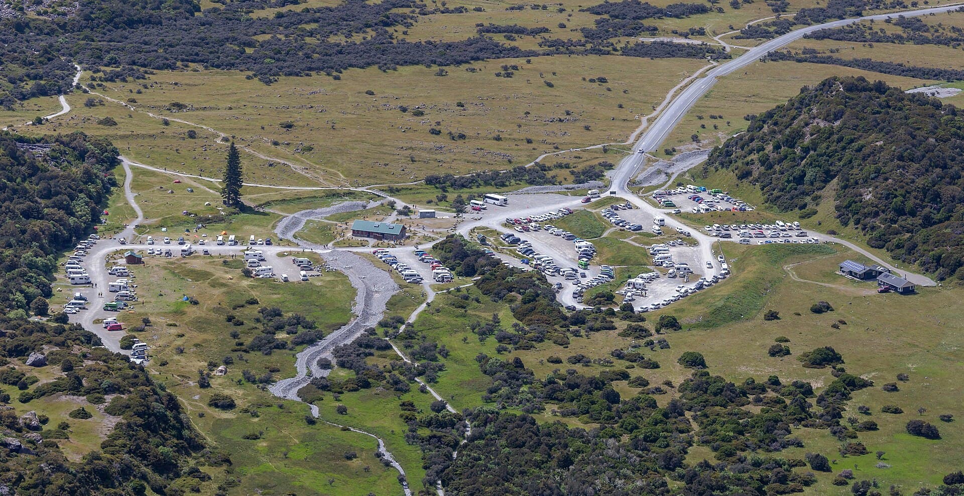
The same feed still lists reduced winter facilities at White Horse Hill and Tasman Valley, including no water or flushing toilets and a pit toilet at White Horse Hill. Do not infer that services have resumed because it is September. Confirm with DOC and arrive with drinking water. A predator-control notice also remains listed; respect warning signs and do not touch bait.
These are dated findings, not a live status service. Recheck each route and Canterbury alerts before departure.
Compare the walking options
| Route | DOC time and distance | Grade and deciding factor |
|---|---|---|
| Hooker Valley | 10 km; 3 hr return | Easy to intermediate walking track; long, exposed valley outing and bridges |
| Kea Point | 1 hr return from White Horse Hill; 2 hr return from the village | Easy to intermediate walking track; shorter viewpoint outing if starting at the campground |
| Governors Bush | 1.2 km loop; 1 hr | Easy short walk; gradual forest climb from the village |
| Sealy Tarns | 3-4 hr return; 600 m ascent | Easy to intermediate walking track; very steep stairs and alpine hazards |
Published times do not include photography, rests, bridge queues or an extra approach from your accommodation. Sharing a walking-track category does not make Sealy Tarns equivalent in effort to Kea Point.
Hooker Valley for a longer valley day
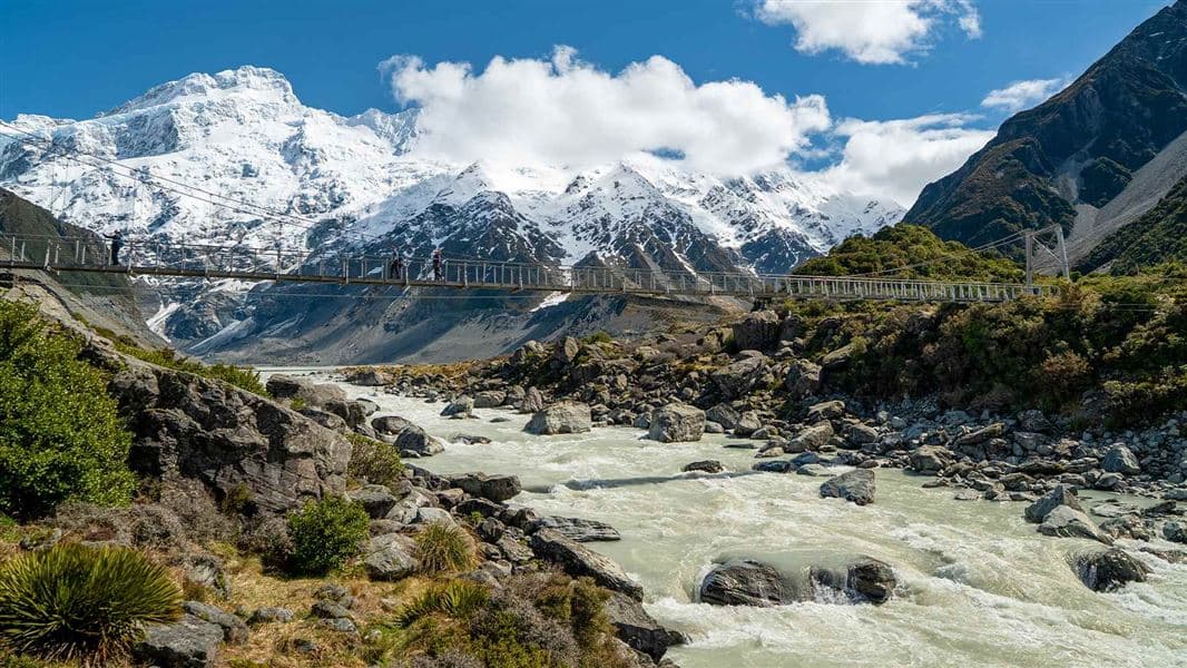
Choose Hooker Valley when the group can comfortably manage the full return distance and conditions suit the exposed setting. Our individual route guide explains the three bridge sections and the approach from White Horse Hill. Use the current DOC notices above when checking facilities and access.
The route reaches Hooker Lake and returns the same way. Keep to the formed track, stay out of the cold lake and never walk onto lake ice or icebergs. DOC warns about shaded ice on the path as well as rapid weather changes. A bridge reopening is an infrastructure update, not confirmation that an icy track is suitable for your group.
Kea Point or Governors Bush for less walking
Kea Point is useful when a full Hooker Valley outing would leave too little time or energy. Its viewing deck overlooks the Mueller Glacier lake and surrounding peaks. Select the White Horse Hill start for DOC's one-hour return; starting near the visitor centre in the village changes the listed return time to two hours. Do not use the shorter time while setting off from town.
Governors Bush starts by the village public shelter on Bowen Drive. DOC describes a gradual climb through bush to a viewpoint and a more sheltered outdoor option in poor weather. Sheltered is relative: strong wind, falling branches, ice or a warning can still make a short forest outing inappropriate. Choosing no walk remains a valid alternative to moving a mountain itinerary into marginal conditions.
Sealy Tarns is the steep option
Sealy Tarns follows the Kea Point approach before branching towards the Mueller Range. DOC describes approximately 2,200 steps, 600 m of ascent and a narrowing upper section. Budget energy and time for descending the stairs, not just reaching the tarns.
There is no shelter or alternative escape route on the climb. DOC warns about ice, avalanche risk and the possible need for mountaineering equipment in winter. Ask the visitor centre about conditions if snow is present; possessing equipment is not the same as knowing how to use it. Continuing towards Mueller Hut is a separate alpine route requiring additional skills and planning, not a casual extension within the three-to-four-hour estimate.
Roads, parking and overnight planning
Check the road information linked from DOC: snow can close SH80. White Horse Hill has paid parking, so read the current payment instructions and distinguish day parking from a booked White Horse Hill campsite stay. For a different overnight base, Lake Poaka requires its own travel and access plan.
Use the Land Safety Code to share your route, carry layers and food, and make turnaround decisions together. For onward travel, compare Wanaka hikes and the South Island itinerary without treating walking times as the full day's schedule.
Frequently asked questions
Is Hooker Valley still closed for bridge construction?
DOC's current route description says the new second bridge opened in July 2026. However, a separate alert published on 22 September limits the first bridge to 20 people at once. Neither the reopening nor this guide guarantees access on your visit date; check current DOC alerts and follow gate and staff instructions.
Which Mount Cook walk is a shorter alternative to Hooker Valley?
Kea Point is 1 hr return from White Horse Hill or 2 hr from the village. Governors Bush is a 1.2 km, 1-hour loop with an easy short-walk grade. Both still need a conditions check. Sealy Tarns is a steep 600 m climb, not a low-effort replacement.
Can I rely on water and toilets at White Horse Hill in September?
Do not assume seasonal services have resumed. On 24 September 2026 DOC's live alert feed still listed no water or flushing toilets under its winter facilities notice, with a pit toilet at White Horse Hill. Confirm with DOC and arrive with drinking water. General facility lists do not override an active notice.
Sources & official links
- 1.Hooker Valley Track— Department of Conservation
- 2.Hooker Valley Track live alert data, including 22 September 2026 bridge notice— Department of Conservation
- 3.Kea Point Track— Department of Conservation
- 4.Governors Bush Walk— Department of Conservation
- 5.Sealy Tarns Track— Department of Conservation
- 6.Canterbury alerts— Department of Conservation
- 7.Be prepared with the Land Safety Code— Department of Conservation