Area context
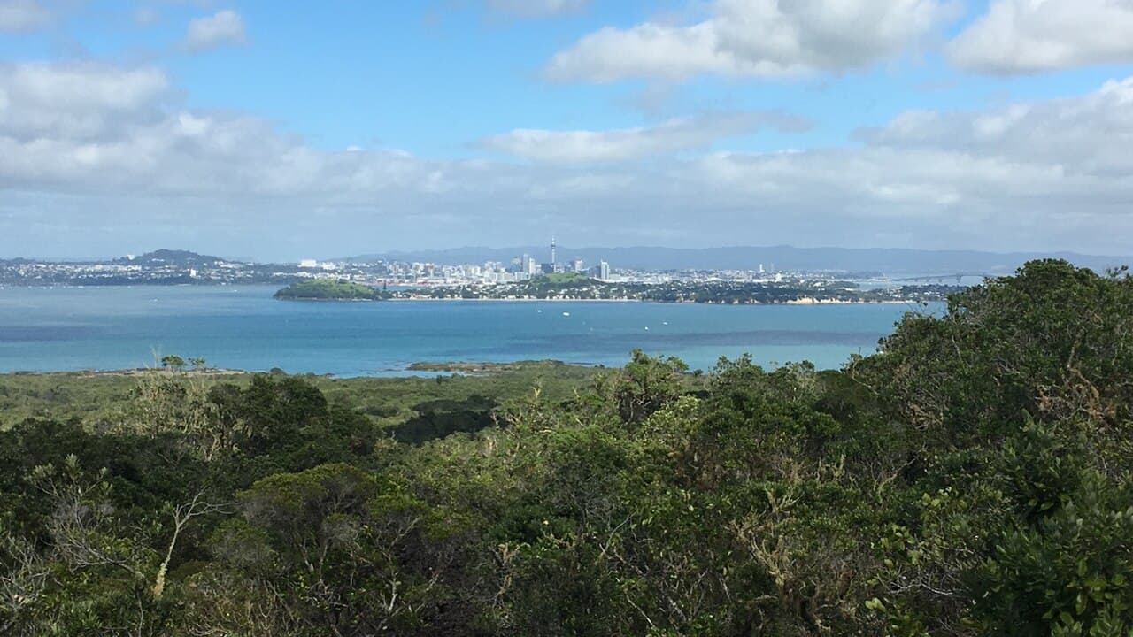
Auckland's skyline across the harbour from Rangitoto Summit Track.
Photo: BrysonH44 / CC BY-SA 4.0 / DetailsOutdoor Next / Field notes
Practical advice for the campsite, the trail and the journey in between.
10 guides
Auckland's skyline across the harbour from Rangitoto Summit Track.
Photo: BrysonH44 / CC BY-SA 4.0 / Details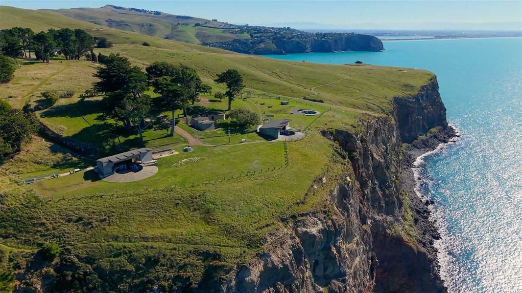
Godley Head, one of the walking areas compared in this guide. This photograph does not show Halswell Quarry or establish current track access.
Photo: Fraser Rudman / Department of Conservation / CC BY 4.0 / Details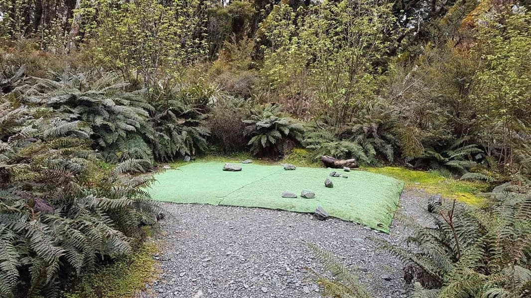
A tent site at Lake Mackenzie Campsite on the Routeburn Track, one example of Great Walk accommodation. Facilities and availability must be checked with DOC.
Photo: Department of Conservation (NZ) / CC BY 4.0 / DetailsNew Zealand
Hiking skills & planning
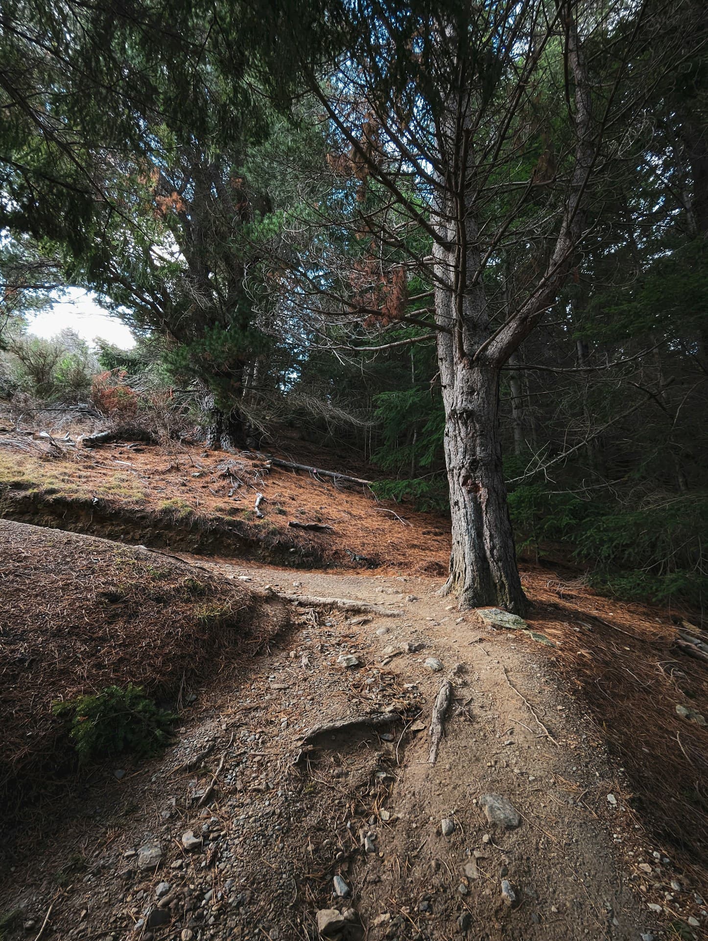
A forested bend on Queenstown Hill Track, with exposed roots and stones underfoot. Archive photo published in 2025. Uneven-footing illustration for family route assessment, not a recommendation of this track for children, buggies or carriers. No family is pictured.
Photo: Esaias Tan / Unsplash License / Details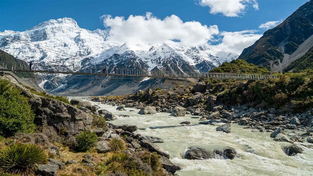
A suspension bridge on the Hooker Valley Track above the Hooker River, with snow-covered peaks behind.
Photo: Fraser Rudman / Department of Conservation / CC BY 4.0 / Details
A backpack carried outdoors; location unverified. This is not a retailer or current-stock photograph.
Photo: Cody Black / Unsplash License / DetailsA backpack carried outdoors; location unverified. This is not a retailer or current-stock photograph.
Photo: Cody Black / Unsplash License / DetailsA backpack carried outdoors; location unverified. This is not a retailer or current-stock photograph.
Photo: Cody Black / Unsplash License / Details
Shared space inside Top Kokatahi Hut, New Zealand, not a Great Walk hut. Facilities may have changed since this photograph.
Photo: Department of Conservation / CC BY 4.0 / Details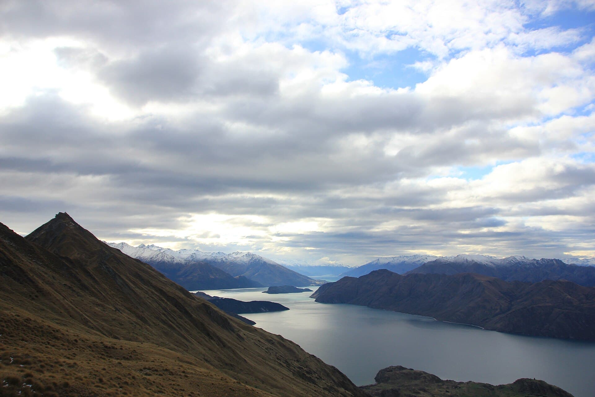
Lake Wanaka and its islands below Roys Peak, with snow on the distant ranges.
Photo: Julrob Photography / CC BY-SA 4.0 / Details