By Outdoor Next Editorial standards
On this page
Key facts
- Rangitoto Summit
- 7 km; 2 hr return; DOC easy to intermediate walking track
- Mercer Bay Loop
- 2.2 km; 50 min loop; council describes a descent followed by an uphill return
- Te Henga viewpoint
- 1.2 km; 45 min one way from Constable Road; DOC intermediate tramping track
- Te Henga to Tirikohua Point
- 1.8 km; 65 min one way; no continuation to Bethells Beach
- Island logistics
- Rangitoto Wharf has public ferry access; carry food and water and confirm the return sailing
Checked against official sources on 24 September 2026. Rules and conditions are set by Department of Conservation and Auckland Council — confirm with them before you go.
Auckland hiking choices depend as much on the day's logistics as on distance. Rangitoto offers a sustained volcanic climb with a fixed boat return; Mercer Bay is a compact coastal circuit; Te Henga now offers a shortened northern out-and-back rather than its former through-route. Choose the outing that matches the group's footing, time and tolerance for exposed ground.
Compare the actual routes
These are published route figures checked on 24 September 2026, not live opening assurances. Follow each link for the manager's latest notice. DOC categories and council terrain descriptions are identified separately rather than forced into a single difficulty scale.
| Walk | Published distance and time | Difficulty and main constraint |
|---|---|---|
| Rangitoto Summit | 7 km; 2 hr return | DOC easy to intermediate; rough volcanic footing and 250 m climb |
| Mercer Bay Loop | 2.2 km; 50 min loop | Council describes descending and climbing coastal terrain; short does not mean flat |
| Te Henga northern section | Viewpoint: 1.2 km/45 min; Tirikohua Point: 1.8 km/65 min, each one way | DOC intermediate tramping track; steep steps, mud and cliffs |
For Te Henga, allow a separate return along the same track. Doubling DOC's times suggests approximately 1 hour 30 minutes to the viewpoint and back, or 2 hours 10 minutes to Tirikohua Point and back, before stops. Those are planning calculations, not additional DOC route listings.
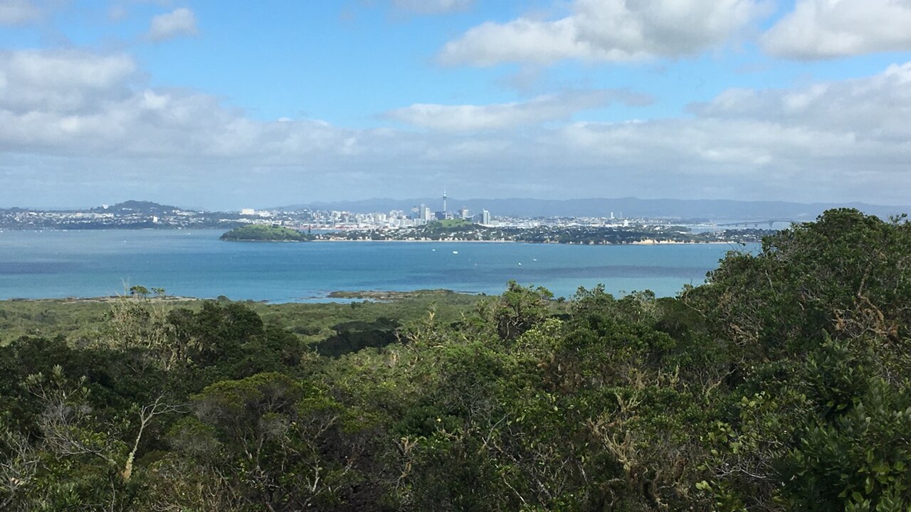
Rangitoto for a planned island day
Choose Rangitoto when everyone is comfortable with uneven lava surfaces and you can build the day around transport. The summit route begins at Rangitoto Wharf, climbs steadily and returns the same way. DOC's separate crater-rim loop takes another 20 minutes; adding it should depend on the time available, not simply on reaching the summit.
The island access page links ferry arrangements. Confirm both directions before departure and set a turnaround time working backwards from your return boat. Allow for boarding, rest stops and walking more slowly on the descent. The two-hour walking figure is not a two-hour city-to-city excursion.
Carry your food and water: DOC says there are no island shops. Heat reflected from the lava can make a sunny climb demanding. Clean and check gear before boarding to protect the pest-free island, and do not plan to solve a missed ferry by camping; camping is prohibited.
Mercer Bay for a shorter coastal circuit
Mercer Bay suits a shorter walking window if the west-coast weather is appropriate. Auckland Council's route starts at the end of Te Ahuahu Road and recommends a clockwise circuit from the southern side of the car park. Its route description includes a descent towards the headland followed by the climb back.
At the junction, the loop goes towards the former pa site. The alternative Comans Track heads towards Karekare and is a different outing, with a substantial climb to return. Do not add that descent while still budgeting only 50 minutes. Stay on the marked paths around this culturally important headland and follow the cleaning-station instructions for kauri protection.
A short loop can still be unsuitable in strong wind or when someone is uncomfortable near exposed coastal ground. Check council notices and the entrance signs before walking; the existence of a council route description does not confirm today's access.
Te Henga without the old through-route
Start from Constable Road near Muriwai, using the current DOC directions. The track drops down steep steps through a farm valley to the coast and continues to Tirikohua Point. DOC warns about slippery, uneven and muddy ground.
The section south from Tirikohua Point to Bethells Beach is closed and inaccessible following cliff collapses. Do not arrange a Bethells Beach pickup based on an older walking map. Retrace the permitted northern track, remembering that the initial descent becomes an uphill finish. Dogs and cycling are not allowed, and private-land access requires staying on the route.
Build a practical backup
Check DOC's Auckland alerts for DOC-managed routes and council information for Mercer Bay. Apply the Land Safety Code, including sharing your intentions. Our track-selection guide helps compare terrain with the least experienced person's needs.
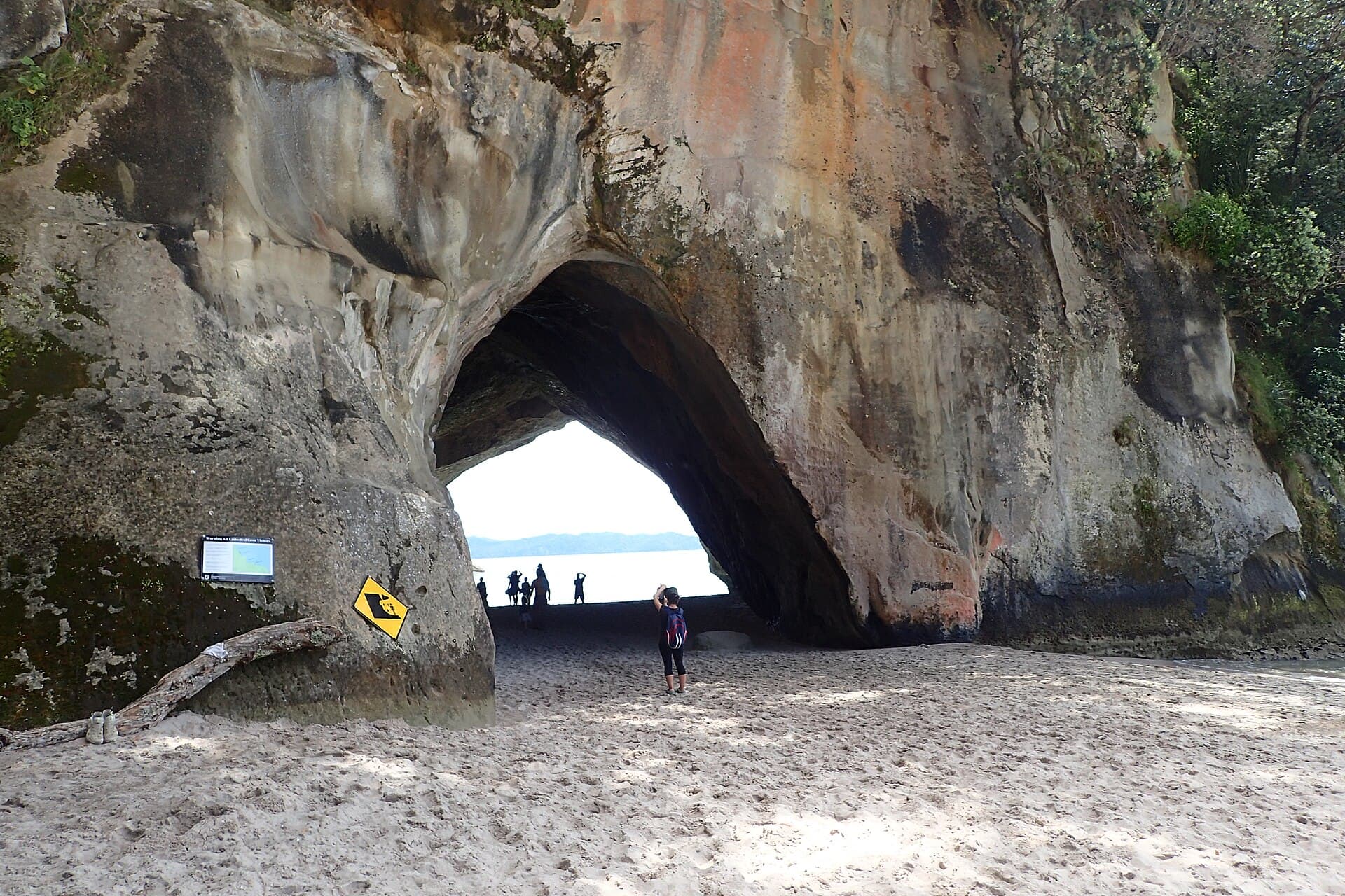
For a separate road trip, Mangawhai Cliffs is in Northland and Cathedral Cove is in Waikato. Both need tide and access checks of their own; neither belongs inside the local walking times above. Keep overnight arrangements separate too, using Auckland camping rules rather than assuming a walk's car park permits sleeping.
Frequently asked questions
Which Auckland walk fits a shorter outing?
Of these routes, Mercer Bay has the shortest published walking time: 50 minutes for a 2.2 km loop. Include the drive, stops and uphill return effort. Rangitoto needs a ferry plan, while Te Henga's published times are one way and must not be treated as complete return outings.
Can I walk Te Henga from Muriwai to Bethells Beach?
No. DOC says the section south from Tirikohua Point to Bethells Beach is closed and inaccessible after cliff collapses. The route described here starts at Constable Road and returns the same way. Check current alerts even for that shortened section.
Are Cathedral Cove and Mangawhai Auckland walks?
No. Mangawhai is in Northland and Cathedral Cove is on the Coromandel Peninsula in Waikato. They can be separate trips from Auckland, but each needs its own travel, access and tide planning. They are not local substitutes within the walking times in this comparison.