By Outdoor Next Editorial standards
On this page
Location & access
DOC track reference point, not a verified trailhead, entrance or the whole route. Check the official route directions before travel.
Official location informationLocation source
DOC track reference point, not a verified trailhead, entrance or the whole route.
Reference point: -36.06548, 174.59101. WGS84 coordinates retained at the official service's returned precision; decimal resolution is not survey accuracy. Source positional accuracy is not specified.
DOC Maps walking and tramping reference point (WGS84), exact official-page GUID / Department of Conservation. Checked 2026-10-12.
Key facts
- Start
- Mangawhai Heads car park at the end of Wintle Street
- Clifftop out-and-back
- 8.4 km return; DOC headline 2-3 hr
- Initial beach approach
- 1.2 km; 20 min one way to the walkway sign
- Cliff section
- 3 km; 1 hr 10 min one way from the sign to the far coast
- Tidal return section
- 4.8 km; 1 hr from the arch to the car park, only in suitable tide and sea conditions
- DOC grade
- Easy to intermediate walking track; steep climbs and steps
Checked against official sources on 24 September 2026. Rules and conditions are set by Department of Conservation — confirm with them before you go.
The Mangawhai cliff walk combines a beach approach, a steep clifftop traverse and a choice of return routes. Make that choice around the tide and the group's ability, not around the expectation that every coastal walk is a loop. The DOC description separates the sections, which is the most useful way to plan this outing.
Access and the seasonal link closure
This guide starts at Mangawhai Heads car park at the end of Wintle Street. Checked on 24 September 2026, DOC specifies a separate annual closure on the Cove Road link from 1 September to 31 October, for lambing and calving. That period includes the date of this check. Do not use the link as a shortcut or alternate start.
The Outdoor Access Commission record also identifies private-land access and the seasonal restriction. Stay on the marked route and obey access signs. Before leaving, check the main route page and Northland alerts; this description does not establish that every section is open today.
Distance depends on your return
DOC's headline is 8.4 km return, taking 2-3 hours, when retracing the track. Its detailed sections explain what that involves:
| Section | Distance | Walking time |
|---|---|---|
| Car park to walkway sign along the beach | 1.2 km one way | 20 min |
| Walkway sign across the cliffs to the far coast | 3 km one way | 1 hr 10 min |
| Arch to car park by the tidal coast | 4.8 km one way | 1 hr |
Doubling the first two legs gives 8.4 km and 3 hours. Replacing the return with DOC's coastal leg gives approximately 9 km and 2 hours 30 minutes. Those are calculations from published sections, not independent measurements. Breaks, uneven footing and a retreat from the arch add time.
The Outdoor Access Commission's older record gives a 7.3 km loop. That differs from DOC's present section figures; this guide uses the managing authority's named legs rather than blending the two. Save directions for the route you intend to follow, with enough daylight for the longer fallback.
Reading the tide correctly
There are two distinct beach sections. DOC describes the initial car-park approach as accessible at any tide, although it involves negotiating rocky points. That statement does not apply to the far coastal return beyond the cliffs.
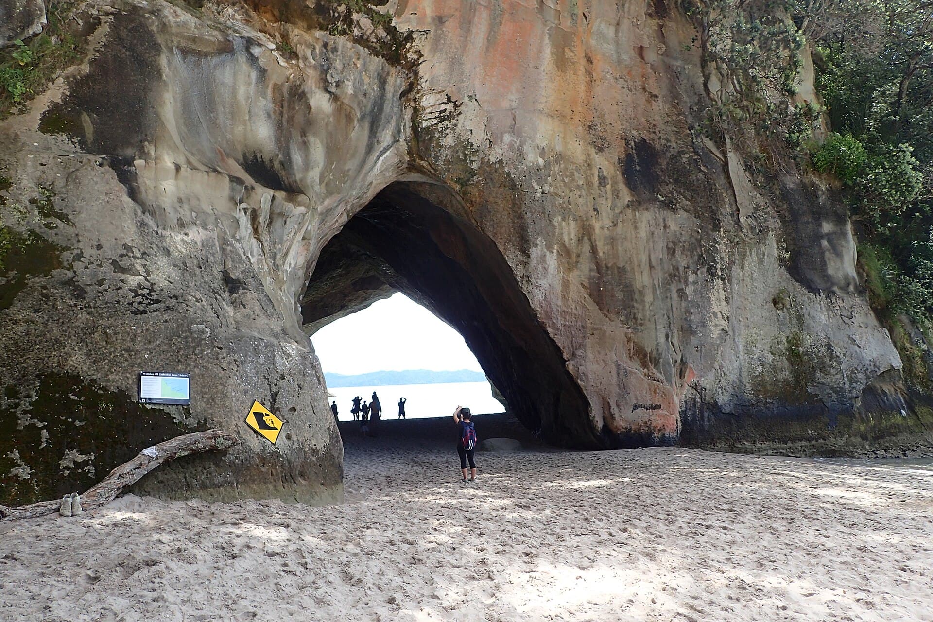
For a potential beach circuit, DOC advises starting 2-3 hours before low tide. Check the date-specific Mangawhai Heads tide predictions and the marine weather. The far return is impassable at high tide; if water is surging through the arch, go back over the cliff track.
Do not wade through to preserve the loop or wait in an exposed position for conditions to improve. Tide height alone does not describe the sea state. Agree before setting off that everyone has the energy for the clifftop return, including the climb back from the coast. A beach return should be an option, not a dependency.
Terrain and group suitability
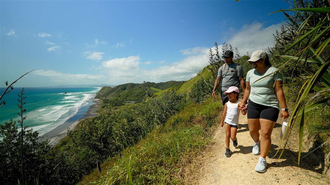
DOC grades the walkway easy to intermediate, but describes steep climbs, numerous steps, loose gravel near drops and unstable material below the cliffs. Keep children close and do not stop beneath cliff faces. Choose footwear for a rocky walking route, not just for sand.
For a mixed-ability group, a shorter out-and-back can be more appropriate than committing to the far descent. Decide on a turnaround time while everyone is comfortable. Discuss how exposed ground feels to the least confident walker; reaching a viewpoint does not require continuing to the arch.
The Land Safety Code calls for a suitable route, weather preparation, shared intentions and decisions made together. Give someone your intended return variant as well as your expected finish time. Use our day-hike packing list to prepare food, layers and a way to get help.
Parking, water and overnight plans
DOC identifies parking and toilets at the Wintle Street start, but no drinking-water supply. Bring water with you, and leave your dog at home: dogs are prohibited on the walkway. Parking demand and any summer shuttle service require their own check; do not assume an advertised summer service runs in September.
For a camping trip, Uretiti Beach Campsite is a separate DOC overnight option, subject to its booking and arrival rules. The campsite page says no spaces are held for unbooked arrivals. Our DOC campsite guide explains the planning distinction; a day-use car park is not a campsite booking.
Compare Auckland walks for another regional outing or Cathedral Cove for a different coastal trip. Neither is a substitute for checking local conditions at Mangawhai before you step onto the beach.
More photographs
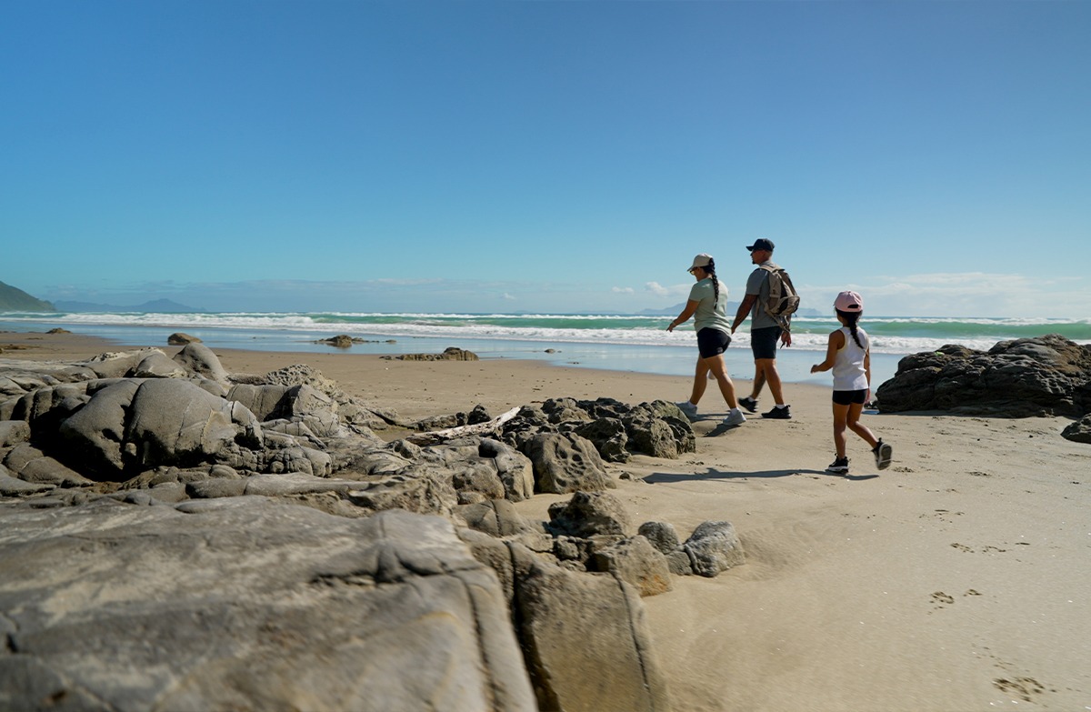
Area context. Mangawhai Heads Beach. Published in DOC's Mangawhai Cliffs Walkway guide. Photograph date not supplied; this is route-area context, not a verified trailhead or current-condition photograph.
Photo: Fraser Rudman / CC BY 4.0 / DetailsFrequently asked questions
Can I return along the beach at any tide?
No. The far coastal return is impassable at high tide. DOC allows for low and mid tide but says to return along the cliff walkway if water surges through the arch. Its advice is to start 2-3 hours before low tide. The initial beach approach is a separate section, described as accessible at any tide.
How long is the Mangawhai cliff walk?
DOC's headline is 8.4 km and 2-3 hours returning by the same track. Its detailed legs imply 3 hours for that out-and-back. Adding the listed tidal beach return instead gives about 9 km and 2 hours 30 minutes, a calculated total rather than a separately measured route. Allow extra time for stops and slower footing.
Is the whole walk closed for lambing in September?
DOC's annual 1 September-31 October closure applies specifically to the link between Cove Road and the cliff walkway. This guide starts at Wintle Street, not Cove Road. That distinction is not an all-clear for the main walk: recheck DOC alerts and local signs. Dogs are not allowed on the walkway.
Sources & official links
- 1.Mangawhai Cliffs Walkway— Department of Conservation
- 2.Mangawhai Cliffs Walkway access record— Herenga a Nuku Aotearoa, Outdoor Access Commission
- 3.Mangawhai Heads tide predictions— MetService
- 4.Northland alerts— Department of Conservation
- 5.Uretiti Beach Campsite— Department of Conservation
- 6.Be prepared with the Land Safety Code— Department of Conservation