By Outdoor Next Editorial standards
On this page
Key facts
- Distance
- Nearly 3 km of track; complete return distance not verified
- Walking time
- Council feature says up to 3 hr; return-itinerary basis not specified
- Track grade
- Steep stepped ridges; formal grade not independently verified
- Climb
- Approximately 373 m in council's route feature
- Approach
- Whatipū end of the Waitākere Ranges; confirm the signed entrance and road access
- Dogs
- Prohibited on Ōmanawanui Track in council's Whatipū dog rules
Checked against official sources on 12 October 2026. Rules and conditions are set by Auckland Council — confirm with them before you go.
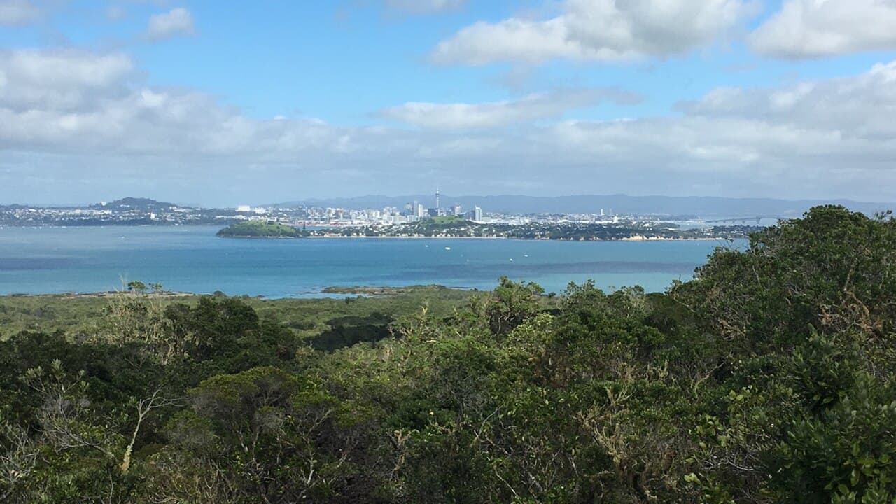
Ōmanawanui Track is a steep ridge outing above Whatipū and the entrance to Manukau Harbour. Council describes nearly 3 km of track and approximately 373 m of climbing, not a verified complete return distance. Plan the return as carefully as the ascent; the attractive headline distance is not enough to schedule the day.
Set the itinerary first
| Published information | How to use it |
|---|---|
| Nearly 3 km of track | Not established as a complete return distance |
| Approximately 373 m of climbing | An indication of effort, not a verified cumulative elevation profile |
| Up to 3 hr in council's feature | Not a precise start-to-finish return timetable |
The council feature and official Auckland visitor listing describe the route without defining every return option. Treat their timings as context and obtain the current council map for the exact walk you intend to do.
Choose your turnaround and return arrangement before starting; do not assume a Kura circuit is available. With one vehicle, make the location of that vehicle part of the plan. Returning over the same ridge involves the same stepped terrain again. A one-way walk needs an independently confirmed finish and pickup, not an expectation that a different track will provide a convenient shortcut.
Starting from Whatipū
Council's feature describes starting at the Whatipū Beach end. Its park page identifies Whatipū Road and cautions that it is narrow in places. Check road access and the signed track entrance before the drive. This guide does not establish a current road opening, reliable taxi pickup or a public-transport connection to the trailhead.
Allow time for the road journey, parking, reading notices and cleaning footwear. The walking estimate is not the time needed from central Auckland and back. Have a lower-effort alternative ready before departure, particularly if the forecast makes exposed ridges unsuitable.
The ridge and its steps
The stepped ridge has repeated climbs; a short distance does not make it an easy walk. Council describes regenerating bush, low scrub, exposed rock faces, a descent past a former pā site and another climb to the trig lookout. Its account of the upgrade explains the extensive box steps and boardwalks, rather than describing a flat surfaced promenade.
Discuss stair tolerance and comfort with heights before committing. Walk at the pace of the least confident person, leave room for others to pass and keep a reserve of energy for retracing steps. Do not turn a lookout into a compulsory goal if someone is already struggling on the outward leg.
The pā landscape is part of the place, not an obstacle to cross by a shortcut. Use the formal path and boardwalks, leaving earthworks and plants undisturbed. An older map can show a line without establishing that visitors may walk it today.
Dogs and current access
Auckland Council explicitly prohibits dogs on Ōmanawanui Track. The named-track dog table on its Whatipū page includes Omanawanui, Kura and Gibbons among prohibited walking-track areas. This is not the same as a park that permits dogs provided they are on a lead.
The recovery table includes Ōmanawanui among open tracks, but the current interactive map was not independently inspected. Neither that snapshot nor the historical reopening after kauri work is an all-clear for your travel date. Follow fresh notices, barriers and footwear-cleaning instructions.
Before you go
Apply the Land Safety Code to the whole outing, including its return. Check a forecast for the west-coast location, tell someone your route and expected return, and carry food, water and weather layers.
- Confirm Whatipū Road access and the exact track entrance.
- Save the current map before leaving reliable reception.
- Agree on a turnaround and leave energy for repeated climbs.
- Leave dogs at home or choose a verified dog-walking route.
- Keep the walk separate from overnight accommodation arrangements.
- Compare Mercer Bay Loop for a shorter coastal option, checking its own conditions.
Frequently asked questions
Is Ōmanawanui Track 3 km return?
Do not assume that. Council describes nearly 3 km of track but does not identify that as a complete out-and-back. Its feature's up-to-three-hour estimate also lacks a precise return itinerary. Confirm your start, turnaround and return before relying on those figures.
Can I take my dog on Ōmanawanui Track?
No. Council's Whatipū page explicitly names Omanawanui in the walking-track areas where dogs are prohibited at all times. Do not transfer another Waitākere track's leash permission to this route.
Is the track suitable for a first walk?
It has steep stepped ridges and repeated climbs. Consider fitness, stair tolerance, weather and comfort near exposed ground together; an upgraded track is not a guarantee of easy terrain. A shorter turnaround can be a better plan than committing to the whole track.
Sources & official links
- 1.Walk the wild west on the spectacular Ōmanawanui Track— Auckland Council / OurAuckland
- 2.Whatipū: track listings and dog access— Auckland Council
- 3.Ōmanawanui Track— Discover Auckland / Tātaki Auckland Unlimited
- 4.Waitākere track recovery status— Auckland Council
- 5.Be prepared with the Land Safety Code— Department of Conservation