By Outdoor Next Editorial standards
On this page
Location & access
DOC track reference point, not a verified trailhead, entrance or the whole route. Check the official route directions before travel.
Official location informationLocation source
DOC track reference point, not a verified trailhead, entrance or the whole route.
Reference point: -37.02610, 175.53980. WGS84 coordinates retained at the official service's returned precision; decimal resolution is not survey accuracy. Source positional accuracy is not specified.
DOC Maps walking and tramping reference point (WGS84), exact official-page GUID / Department of Conservation. Checked 2026-10-12.
Key facts
- Distance
- 2.5 km (DOC does not specify one way or return)
- Walking time
- 2 hr 30 min return
- Track grade
- Easy to intermediate walking track
Checked against official sources on 26 September 2026. Rules and conditions are set by Department of Conservation — confirm with them before you go.
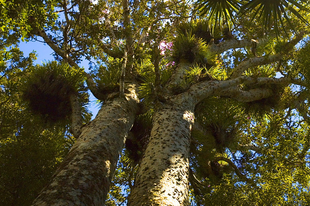
A Coromandel valley-and-ridge walk to mature kauri, with stream crossings and an optional historic battery detour.
Use the valley road end
Walking access begins where sealed Waiomu Valley Road ends. The first part follows a formed gravel road before entering regenerating bush. Save that starting point rather than a generic Coromandel Forest Park destination, since the wider park has several unrelated access valleys. Check signs on arrival, clean footwear as directed, and keep enough time available for a careful return. A late roadside stop is a poor fit if the group is already tired.
Forest, streams and the final climb
The walk crosses streams and eventually climbs a ridge to the mature-kauri stand. An earlier side track leads towards the Monowai Goldmine battery site. Decide whether that detour belongs in the day's plan before taking it; it is not the main grove destination. The forest park's broader history includes both mining and kauri logging, but this route should be appreciated from its maintained access rather than through off-track searches for remains.
Allow for uncertain figures
The current activity panel gives a longer return time than the introductory description. Use the longer figure as a planning allowance and add your own stops; neither is a deadline to chase. The distance lacks a direction qualifier, so this guide deliberately does not double it or advertise it as a return total. Water conditions deserve more attention than that numerical ambiguity. Before every crossing, consider whether you could safely return if conditions changed. Turn around before water becomes a barrier, keep the group together, and carry dry protection for essential items. Reaching the grove is optional; being able to retrace the approach is not.
Read the official track description and notices immediately before travelling. The source-check date is not a live access or safety report.

