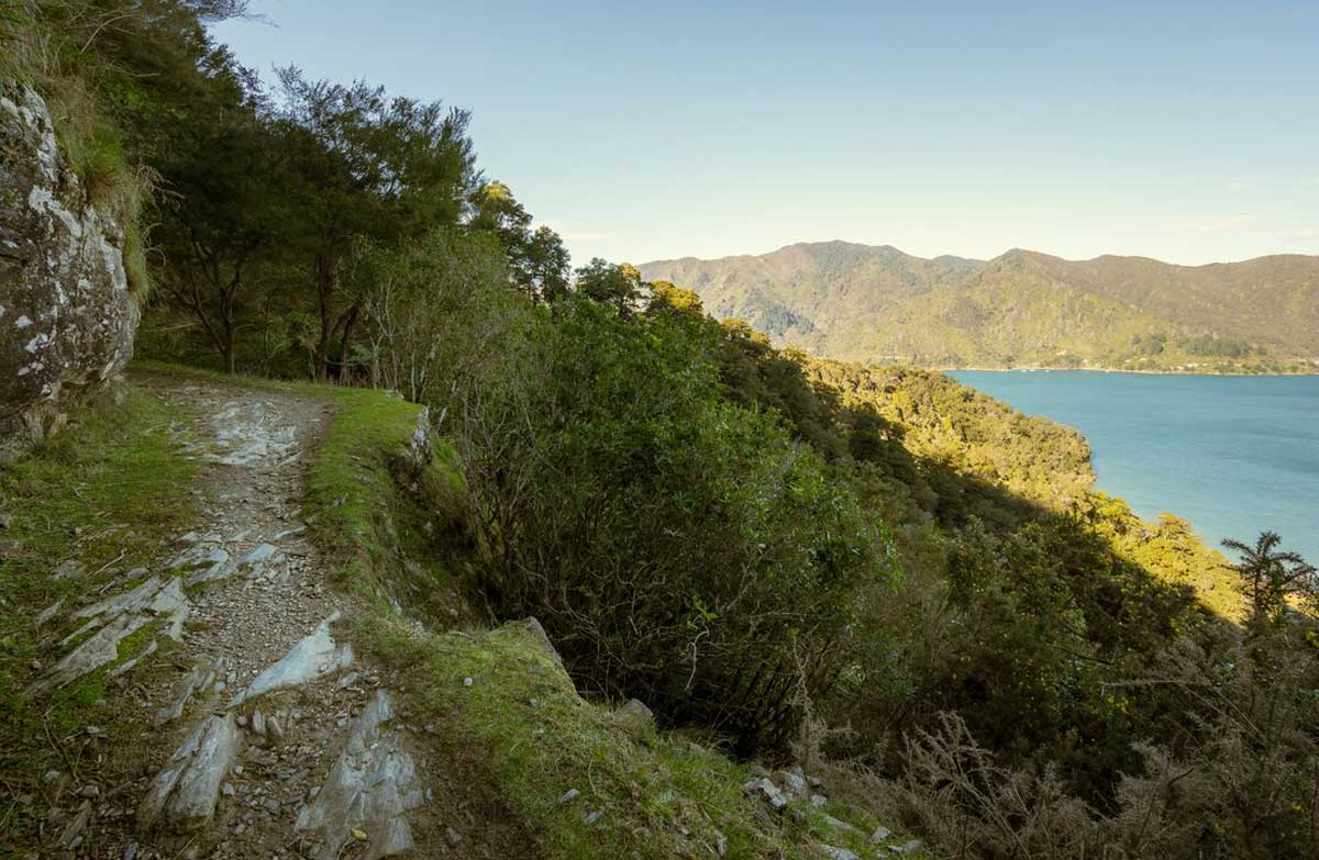
By Outdoor Next Editorial standards
On this page
Location & access
DOC track reference point, not a verified trailhead, entrance or the whole route. Check the official route directions before travel.
Official location informationLocation source
DOC track reference point, not a verified trailhead, entrance or the whole route.
Reference point: -41.13849, 174.15021. WGS84 coordinates retained at the official service's returned precision; decimal resolution is not survey accuracy. Source positional accuracy is not specified.
DOC Maps walking and tramping reference point (WGS84), exact official-page GUID / Department of Conservation. Checked 2026-10-12.
Key facts
- Distance
- 73.5 km one way
- Walking time
- 3-5 days
- Track grade
- Intermediate tramping track
Checked against official sources on 26 September 2026. Rules and conditions are set by Department of Conservation — confirm with them before you go.
The full Sounds walking route from Meretoto/Ship Cove to Anakiwa, including private-land access arrangements.
Follow the Sounds end to end
Queen Charlotte is a complete walking journey between Meretoto/Ship Cove and Anakiwa, with bays and separating ridges shaping the experience. This record uses the pedestrian itinerary, not the cycling times shown on the same DOC page. Select it for several days of movement through the Sounds rather than as a promise of continuous waterside strolling or a sequence of effortless viewpoints.
Separate access from accommodation
Parts of the route cross private land and require the land cooperative pass. That permission is not an accommodation booking or a boat ticket. Put all three arrangements beside each other when planning. Decide who carries the confirmation details and check that any luggage transfer you arrange serves the actual overnight locations, rather than merely a nearby jetty with a similar name.
Give the long ridge stage room
DOC singles out Camp Bay to Torea Saddle as the longest and most demanding stage. Read that section before choosing the number of nights. Rain can make clay surfaces slippery, while the dated notices identify local slips and a future campsite closure. Reconsider the itinerary when these constraints change; do not replace a missing overnight stop with an ambitious distance by default.
Make the boat connection resilient
Meretoto/Ship Cove has no road access, making the initial transport arrangement part of the walk itself. Keep a flexible arrival plan and agree what happens if the group cannot travel on the booked day. Share the overnight sequence with your contact ashore. On the final morning, reserve enough time to enjoy the remaining walking without turning the collection time into pressure to rush.
Read the official track description and notices immediately before travelling. The source-check date is not a live access or safety report.
More photographs
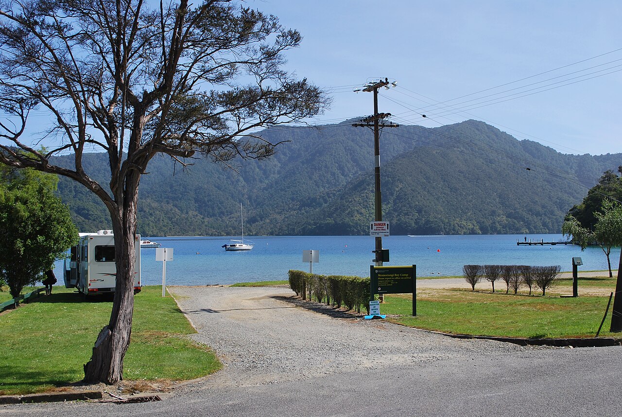
Illustrative photograph. The waterfront camping area at Momorangi Bay on 27 November 2011. This historical photograph does not establish today's layout, facilities or availability. Not a verified photograph of the place or itinerary in this guide. Photographed 2011-11-27.
Photo: Mattinbgn / CC BY 3.0 / Details
