By Outdoor Next Editorial standards
On this page
Location & access
DOC track reference point, not a verified trailhead, entrance or the whole route. Check the official route directions before travel.
Official location informationLocation source
DOC track reference point, not a verified trailhead, entrance or the whole route.
Reference point: -41.82749, 172.82158. WGS84 coordinates retained at the official service's returned precision; decimal resolution is not survey accuracy. Source positional accuracy is not specified.
DOC Maps walking and tramping reference point (WGS84), exact official-page GUID / Department of Conservation. Checked 2026-10-12.
Key facts
- Distance
- 9 km loop
- Walking time
- 5 hr return
- Track grade
- Advanced tramping track
Checked against official sources on 26 September 2026. Rules and conditions are set by Department of Conservation — confirm with them before you go.
A complete mountain circuit above Lake Rotoiti via Pinchgut and Paddy's tracks, with an official advanced grade.
One circuit, two contrasting sides
Mount Robert combines Pinchgut and Paddy's tracks into one outing above Lake Rotoiti. The former climbs steeply from the upper car park, while the latter crosses the mountain's open face via Bushline Hut. Keep both halves in mind when judging suitability. A circuit commits the group to a descent as well as a climb, and the return is not simply the outward track reversed.
Choose the day for the mountain
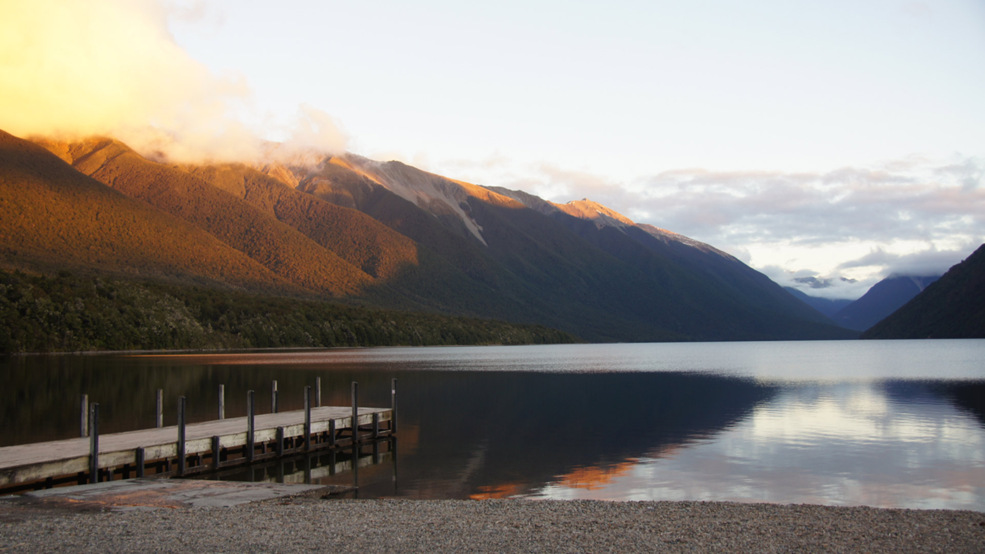
DOC grades the circuit advanced and warns that freezing conditions can occur throughout the year. Those details matter more than an inviting photograph of the lake below. Review the mountain forecast and the least experienced person's clothing and judgement before departure. If the group wants a relaxed low-level stroll, choose that deliberately rather than asking this route to become one.
Account for the road connection
The two track starts are separated by a short road link, and ice can close the vehicle gate. Confirm access before building the day around the upper car park. Mark the intended circuit on an offline map, including the road finish, so the final junction is familiar. Give anyone meeting you a specific location instead of only the mountain's name.
Keep an honest turnaround decision
Set aside the rest of the day rather than placing a tight appointment after the walk. Agree how the party will respond if progress is slower than expected or visibility deteriorates. A hut seen on the map should not become an unplanned overnight solution without checking its arrangements. Carry what the whole outing requires, including a way to communicate trouble and enough supplies for delays.
Read the official track description and notices immediately before travelling. The source-check date is not a live access or safety report.

