By Outdoor Next Editorial standards
On this page
Location & access
DOC track reference point, not a verified trailhead, entrance or the whole route. Check the official route directions before travel.
Official location informationLocation source
DOC track reference point, not a verified trailhead, entrance or the whole route.
Reference point: -44.16065, 169.27831. WGS84 coordinates retained at the official service's returned precision; decimal resolution is not survey accuracy. Source positional accuracy is not specified.
DOC Maps walking and tramping reference point (WGS84), exact official-page GUID / Department of Conservation. Checked 2026-10-12.
Key facts
- Distance
- 3.2 km return via same track
- Walking time
- 1 hr 30 min return
- Track grade
- Easy short walk
Checked against official sources on 26 September 2026. Rules and conditions are set by Department of Conservation — confirm with them before you go.
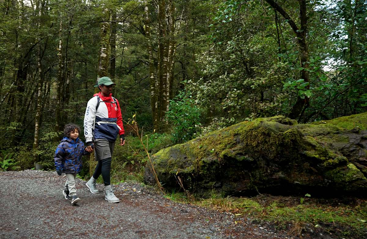
A full return through beech forest to the Blue Pools bridges near Makarora, using DOC's updated distance and time.
Use the updated return figures
Blue Pools is a forest walk from the Haast Highway near Makarora, reaching two swing bridges and views into the river gorge. DOC's current panel gives a longer outing than many older descriptions. Build your stop around these checked figures rather than a remembered roadside dash, allowing everyone time to organise footwear and clothing before leaving the parking area.
Stop at the intended destination
Beyond the pools bridge the route continues as the Young River Link Track. That continuation is not part of this return walk. Identify the turning point on the map before starting and keep the group informed when you reach it. A visible trail beyond an attraction should not become an accidental extension, particularly if someone is expecting to be back at the vehicle soon.
Look into the water without entering it
DOC prohibits jumping from the bridges and warns of hidden river hazards. The water's apparent clarity changes with rainfall and is not evidence that entering it is safe. Keep the bridges available for through movement when taking photographs, and use the visit to observe the forest and river rather than to test the depth or reproduce a social-media stunt.
Prepare for a proper walking stop
Bring your own drinking water and check the notices before setting out, including the dated predator-control warning. Put the whole return into your road-trip schedule and agree the turnaround with anyone who might otherwise continue beyond the pools. Leave generous time between this outing and the next driving commitment. An unhurried return is preferable to compressing the whole walk because the highway journey is taking longer.
Read the official track description and notices immediately before travelling. The source-check date is not a live access or safety report.
More photographs
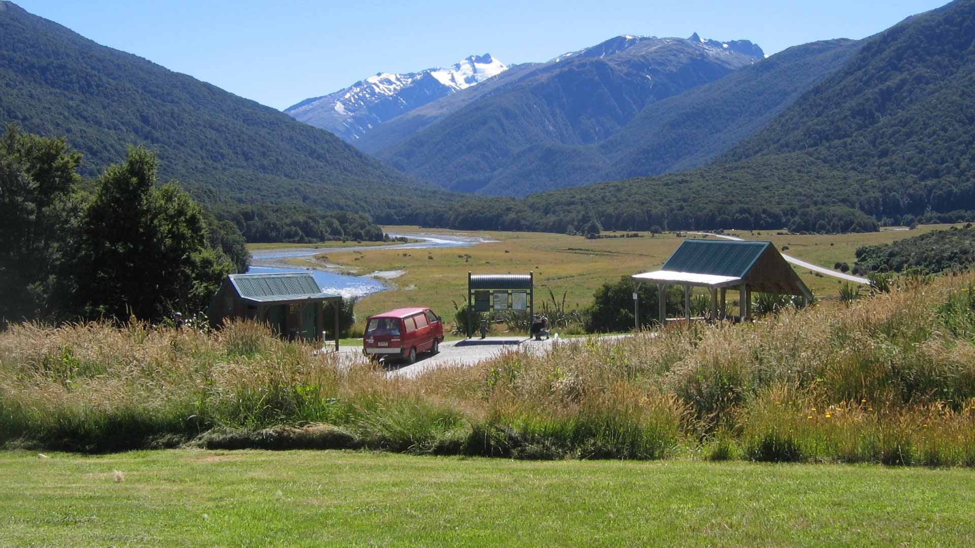
Illustrative photograph. The camping and visitor area at Cameron Flat, overlooking the river valley. DOC does not supply the photograph date; the image does not establish today's facilities or site availability. Not a verified photograph of the place or itinerary in this guide.
Photo: Department of Conservation (NZ) / CC BY 4.0 / Details
