By Outdoor Next Editorial standards
On this page
Location & access
DOC track reference point, not a verified trailhead, entrance or the whole route. Check the official route directions before travel.
Official location informationLocation source
DOC track reference point, not a verified trailhead, entrance or the whole route.
Reference point: -45.89062, 170.67576. WGS84 coordinates retained at the official service's returned precision; decimal resolution is not survey accuracy. Source positional accuracy is not specified.
DOC Maps walking and tramping reference point (WGS84), exact official-page GUID / Department of Conservation. Checked 2026-10-12.
Key facts
- Distance
- 1.7 km return return via same track
- Walking time
- 30 min return
- Track grade
- Easy
- Location
- Dunedin area / Otago Peninsula area
- Dog access
- No dogs. Other pets on conservation land rules.
Checked against official sources on 8 October 2026. Rules and conditions are set by Department of Conservation — confirm with them before you go.
Route overview
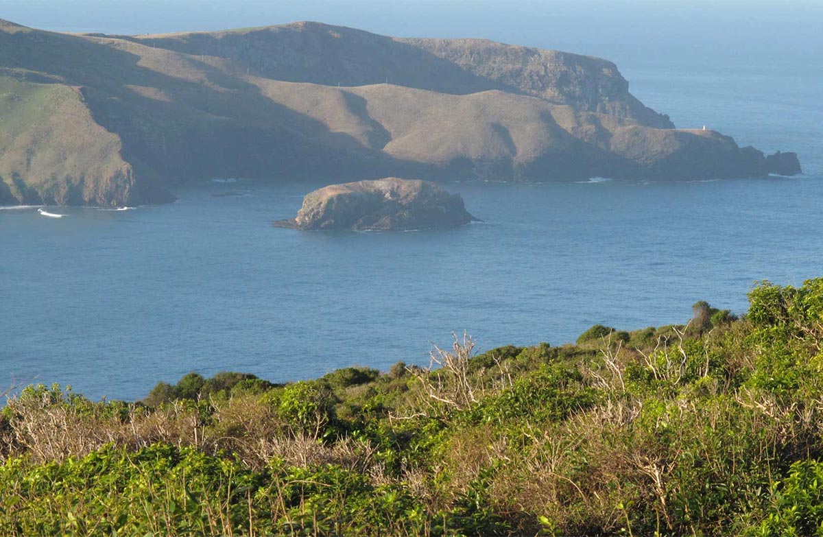
A gentle walk through Sandymount Recreation Reserve provides spectacular views of the Otago Peninsula coastline.
This DOC directory entry covers Sandymount Track in Otago, within Dunedin area / Otago Peninsula area. Where DOC groups several walks, times and grades refer to the listed options rather than a single continuous itinerary.
Distance, time and grade
- Distance: 1.7 km return return via same track
- Walking time: 30 min return
- DOC grade: Easy
Access and alerts
Source checked 2026-10-08. This page is a dated snapshot, not a live track-status report. Check current DOC route information immediately before travelling. An absence of listed alerts does not establish that a route is open.
- Pest control at coastal Otago tracks; First published on 12 February 2025. Last reviewed on 6 October 2026.
Dog access
No dogs. Other pets on conservation land rules.
Description
Begin your walk to the viewpoint in a tunnel of historic macrocarpa trees from the car park at the end of Sandymount Road.
Wander through coastal pasture land before reaching the viewpoint and its stunning views to the northeast over Allans Beach, Hoopers Inlet, Poatiri/Mt Charles and inland to Wharekākahu/Harbour Cone.
The walk is through an active working farm. Expect to see sheep and farm vehicles. Lambing occurs in August and September. The stock is being managed by the farmer and should not be approached.
Getting there
Turn off Highcliff Road onto Sandymount Road. The track begins at the end of the road.
Know before you go
Take extra care
Sandymount Road turns into gravel and is narrow and windy. Keep to the left and drive to the conditions.
Don't leave valuables in your car, as there have been break-ins.
Be prepared for known track hazards
This is an exposed coastal site. Take care around cliff areas as they may be slippery and unstable after heavy rain.
Avoid forest areas during high winds as branches may fall out of trees.
Be careful of the ongaonga (stinging nettle) that grows in places along the track.
Amenities
The nearest toilets are in Macandrew Bay.
There are picnic tables at the car park.
Permissions
The track passes through an active working farm. Be aware that there may be moving vehicles and take due care.
Respect the farmers livestock:
leave gates as you find them
keep your distance from livestock and avoid deceased stock
Sources and reuse
Route descriptions and practical information reproduced from the Department of Conservation, Crown copyright, under CC BY 4.0, subject to DOC's copyright policy. Formatting has been adapted, including flattening page sections; follow the original DOC page for maps, section-specific layout, current notices and linked documents. Outdoor Next is independent and is not endorsed by DOC.
The accompanying photograph is published in DOC's official route gallery with an explicit reuse licence. Its original caption and credit are retained; it does not establish current track conditions.
