By Outdoor Next Editorial standards
On this page
Key facts
- Distance
- 850 m loop
- Walking time
- 30 min
- Track grade
- Advanced
- Location
- Arthur's Pass National Park
- Dog access
- No dogs. Other pets on conservation land rules.
Checked against official sources on 8 October 2026. Rules and conditions are set by Department of Conservation — confirm with them before you go.
Route overview
This rough loop track winds through the diverse podocarp broadleaf forest of the West Coast.
This DOC directory entry covers Cockayne Nature Walk in Canterbury, within Arthur's Pass National Park. Where DOC groups several walks, times and grades refer to the listed options rather than a single continuous itinerary.
Distance, time and grade
- Distance: 850 m loop
- Walking time: 30 min
- DOC grade: Advanced
Access and alerts
Source checked 2026-10-08. This page is a dated snapshot, not a live track-status report. Check current DOC route information immediately before travelling. An absence of listed alerts does not establish that a route is open.
Dog access
No dogs. Other pets on conservation land rules.
Description
This track climbs steeply to a small hill with a bench at the summit, then descends towards the highway before returning to the car park. Along the way, interpretation panels provide information about the plants and trees found in the surrounding forest. The track is uneven and can be slippery, especially in wet conditions.
Getting there
From SH 73, turn onto the gravel road on the west side of the Kellys Creek SH 73 bridge. The car park is located 200 m at the end of the side road (17 km north of Arthur's Pass Village).
Nature and conservation
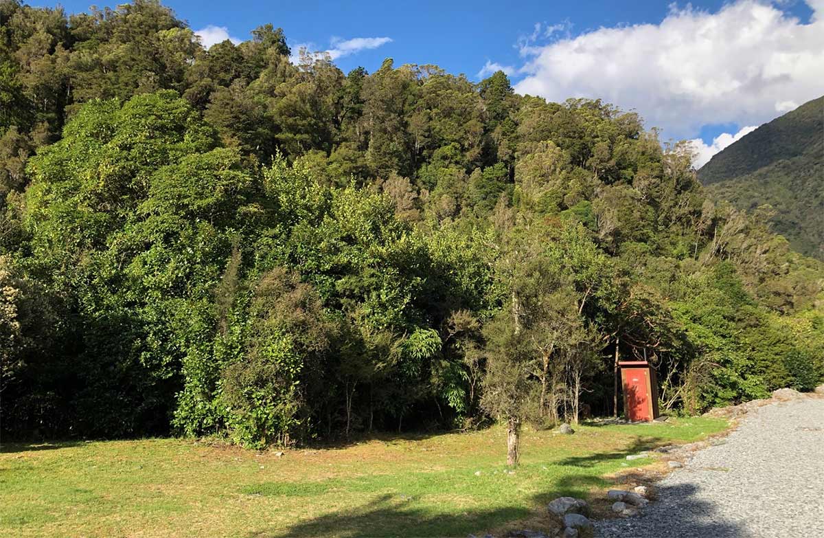
You will notice how the West Coast forests are lush and dense in contrast with the open forests further east. These are temperate rain forests, with forest vines and epiphytes, and ground thick with ferns and mosses, all thriving in the high rainfall.
Look out for the display of red-flowering southern rātā in late summer. The Cockayne Nature Walk is a great place to experience this forest.
History and culture
The track is named after Dr Leonard Cockayne, a pioneering New Zealand botanist whose advocacy helped lay the foundations for Arthur's Pass National Park.
In 1901, Cockayne recognised the Arthur's Pass region as an outstanding example of transalpine flora that was being increasingly affected by grazing, fire, and railway construction.
His campaign to protect the area's unique ecosystems and dramatic mountain landscapes helped secure more than 72,000 hectares for national park purposes. These early conservation efforts eventually led to the creation of Arthur's Pass National Park in 1929.
Sources and reuse
Route descriptions and practical information reproduced from the Department of Conservation, Crown copyright, under CC BY 4.0, subject to DOC's copyright policy. Formatting has been adapted, including flattening page sections; follow the original DOC page for maps, section-specific layout, current notices and linked documents. Outdoor Next is independent and is not endorsed by DOC.
The accompanying photograph is published in DOC's official route gallery with an explicit reuse licence. Its original caption and credit are retained; it does not establish current track conditions.
