By Outdoor Next Editorial standards
On this page
Location & access
DOC track reference point, not a verified trailhead, entrance or the whole route. Check the official route directions before travel.
Official location informationLocation source
DOC track reference point, not a verified trailhead, entrance or the whole route.
Reference point: -42.04323, 171.43672. WGS84 coordinates retained at the official service's returned precision; decimal resolution is not survey accuracy. Source positional accuracy is not specified.
DOC Maps walking and tramping reference point (WGS84), exact official-page GUID / Department of Conservation. Checked 2026-10-12.
Key facts
- Distance
- 12 km return via same track
- Walking time
- 4 hr return
- Track grade
- Advanced; Expert
- Location
- Paparoa National Park
- Seasonal restrictions
- Avoid this track during and after heavy rain, and when rain is forecast, as the Fox River may be flooded and unsafe to cross.
- Dog access
- No dogs. Other pets on conservation land rules.
Checked against official sources on 8 October 2026. Rules and conditions are set by Department of Conservation — confirm with them before you go.
Route overview
Experience some of the Paparoa National Park's finest limestone features, including a large limestone outcrop.
This DOC directory entry covers Ballroom Overhang Track in West Coast, within Paparoa National Park. Where DOC groups several walks, times and grades refer to the listed options rather than a single continuous itinerary.
Distance, time and grade
- Distance: 12 km return via same track
- Walking time: 4 hr return
- DOC grade: Advanced; Expert
Access and alerts
Source checked 2026-10-08. This page is a dated snapshot, not a live track-status report. Check current DOC route information immediately before travelling. An absence of listed alerts does not establish that a route is open.
- Repairs to Ballroom Overhang/Fox River Track; First published on 27 May 2026. Last reviewed on 31 July 2026.
Seasonal restrictions
Avoid this track during and after heavy rain, and when rain is forecast, as the Fox River may be flooded and unsafe to cross.
Dog access
No dogs. Other pets on conservation land rules.
Description
About the track
Some of the park’s finest limestone features are in this area. The Ballroom Overhang, about 500 m upstream from the Fox River/Dilemma Creek confluence, is a large limestone outcrop providing a safe place to shelter or camp overnight. It’s also a good option to visit as a day hike. There is a toilet at the overhang.
There are several unbridged river crossings of the Fox River on this track. The river can rise rapidly and become impassable during heavy rain, so check the Paparoa National Park forecast before you go and plan to hike in dry weather. Pick a different track if rain is forecast or if it recently rained heavily.
Route description
The Ballroom Overhang is reached via the Inland Pack Track, starting from the car park at the mouth of the Fox River. The first part of the track follows the true right of the river through bush and over braided riverbed sections. After about 30 minutes, a river crossing is required to rejoin the track on the true left of the river.
Be aware: this first crossing of the Fox River is not always the deepest. The crossing at the junction of Fox River and Dilemma Creek can be deeper.
On the true left of the river, the track continues for 2 km through the gorge. It frequently climbs and drops to negotiate bluffs. A 60 m section of the track is badly damaged approximately 40 minutes by foot from Fox River carpark. Take care and follow the track via a marked diversion.
The formed track ends at the confluence of Fox River and Dilemma Creek. From here, there is a further 500 m of river-bed travel and river crossings to reach the Ballroom Overhang, located on the true right of the Fox River.
Getting there
The Ballroom Overhang is reached via the Inland Pack Track, signposted by the main road bridge at Fox River, 12 km north of Punakaiki.
Know before you go
Tramping skills and experience needed
This is a challenging tramping track, recommended for experienced trampers only. It requires navigation and river crossing skills. The track is steep, rough and unformed in places. It follows the riverbed at times and has many river crossings.
Stay safe when crossing rivers
If you plan to cross unbridged rivers, know how to cross safely and be prepared for if you cannot cross.
Do not cross if the river is flooded, you cannot find safe entry and exit points or are unsure it’s safe. Turn back or wait for the river to drop. If in doubt, stay out.How to cross rivers safely
Stay on the track to avoid sinkholes
This is a limestone (kaarst) area, which means sinkholes, chasms and flash flooding are common. These sinkholes and chasms are not marked and can be hard to see. We recommend staying on the track to avoid them.
Ongaonga (stinging nettles) in this area
Beware of ongaonga (stinging nettle). It is especially common in limestone areas and the sting is painful.
Sources and reuse
Route descriptions and practical information reproduced from the Department of Conservation, Crown copyright, under CC BY 4.0, subject to DOC's copyright policy. Formatting has been adapted, including flattening page sections; follow the original DOC page for maps, section-specific layout, current notices and linked documents. Outdoor Next is independent and is not endorsed by DOC.
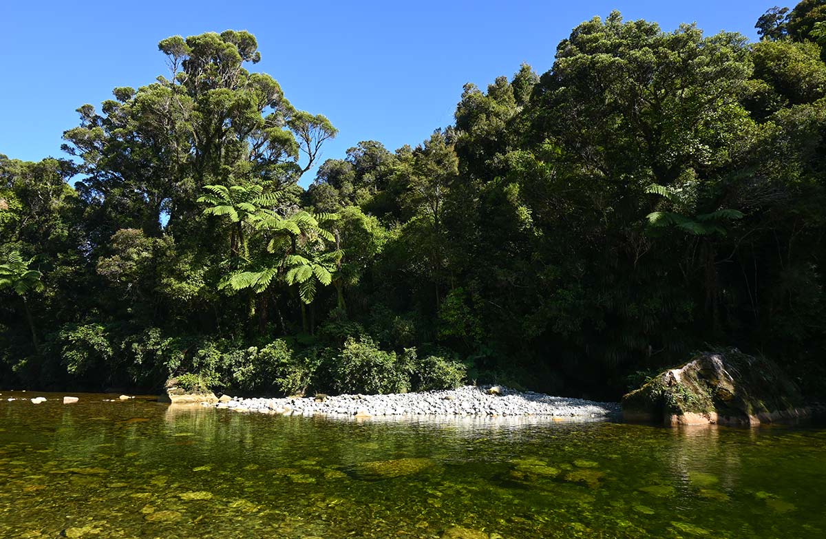
The accompanying photograph is published in DOC's official route gallery with an explicit reuse licence. Its original caption and credit are retained; it does not establish current track conditions.
