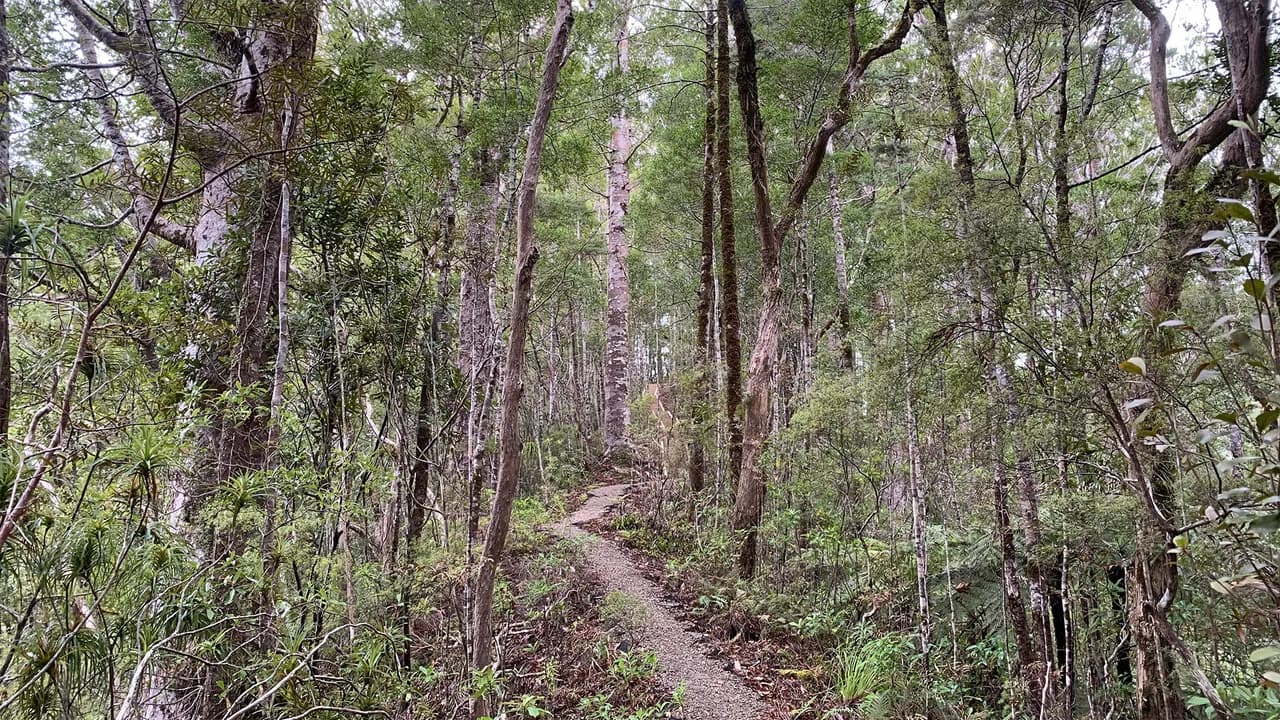
Pukatea Ridge track. Photograph of the named location or its documented route feature. Capture date not supplied; not a live view of current conditions.
Photo: George Moon / CC BY 4.0 / DetailsUse the recorded walking time as a starting point, then read the route and grade. A short-walk classification is not a promise of easy terrain, step-free access or suitability for children.
Tracks qualify only with the published short-walk classification and a recorded walking-time fact backed by content sources. Times are shown verbatim, not converted into an invented duration limit.
All 648 published campsite records, 1589 walking-track records and 26 trip plans are considered against the relevant criteria. Campsites with a closed notice are excluded. Seasonal and access notices remain visible; inclusion does not confirm that a place is open.
Each page shows up to 12 matches per group in name order (A-Z), not a ranking. Use the page links to browse every match. Groups share a page number; shorter groups finish earlier. Full finders also include records outside this topic. Source wording and check dates are retained here and on record pages, not live availability checks.
739 matches; 505-516 in name order.
Pukatea Ridge track. Photograph of the named location or its documented route feature. Capture date not supplied; not a live view of current conditions.
Photo: George Moon / CC BY 4.0 / Details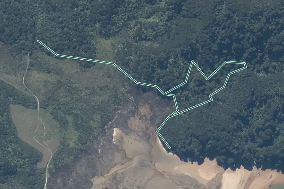
Aerial view
A wooded tidal margin and pale sand beneath branching angular linework. Historical aerial imagery with indicative DOC mapped geometry; it may be incomplete or out of date and is not for navigation. This is not a guarantee of the complete or current walk. Not a navigation map or confirmation of access. Cropped, overlaid and converted to WebP.
Aerial view 2024-2025© LINZ + contributorsCC BY 4.0 / DetailsTasman
Walking time: 30 min return via same track
Source record; checked
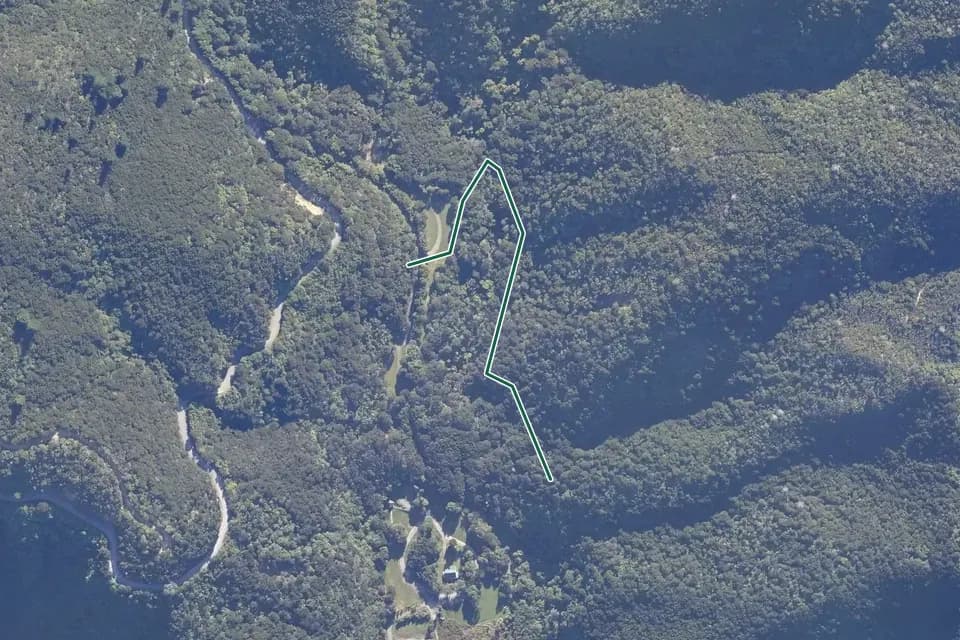
Aerial view
Angular line crosses a wooded valley beside winding pale roads and a small grassy developed area. Historical aerial imagery with indicative DOC mapped geometry; it may be incomplete or out of date and is not for navigation. This is not a guarantee of the complete or current walk. Not a navigation map or confirmation of access. Cropped, overlaid and converted to WebP.
Aerial view 2026© LINZ + contributorsCC BY 4.0 / Details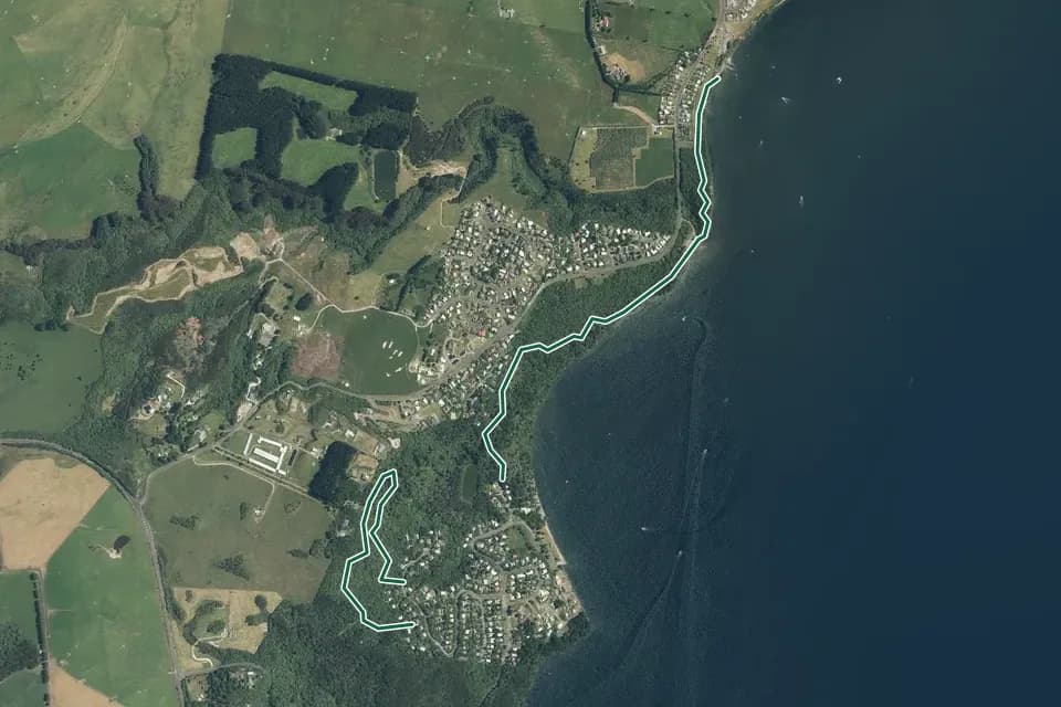
Aerial view
Separate coastal and inland line sections beside a dark lake, settlements and green pasture. Historical aerial imagery with indicative DOC mapped geometry; it may be incomplete or out of date and is not for navigation. This is not a guarantee of the complete or current walk. Not a navigation map or confirmation of access. Cropped, overlaid and converted to WebP.
Aerial view 2021-2024© LINZ + contributorsCC BY 4.0 / DetailsCentral North Island
Walking time: 45 min or 1 hr 20 min
Source record; checked
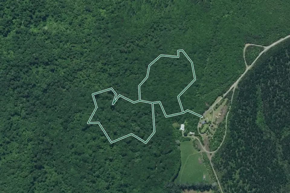
Aerial view
Two angular linked loops in dense green forest beside a pale road and grassy clearing. Historical aerial imagery with indicative DOC mapped geometry; it may be incomplete or out of date and is not for navigation. This is not a guarantee of the complete or current walk. Not a navigation map or confirmation of access. Cropped, overlaid and converted to WebP.
Aerial view 2023-2025© LINZ + contributorsCC BY 4.0 / Details
Illustrative
General backpacking illustration; location unverified. This is not a photograph of the named route or evidence of its terrain, condition or difficulty.
Photo: Cody Black / Unsplash License / DetailsWest Coast
Walking time: 30 min loop
Source record; checked
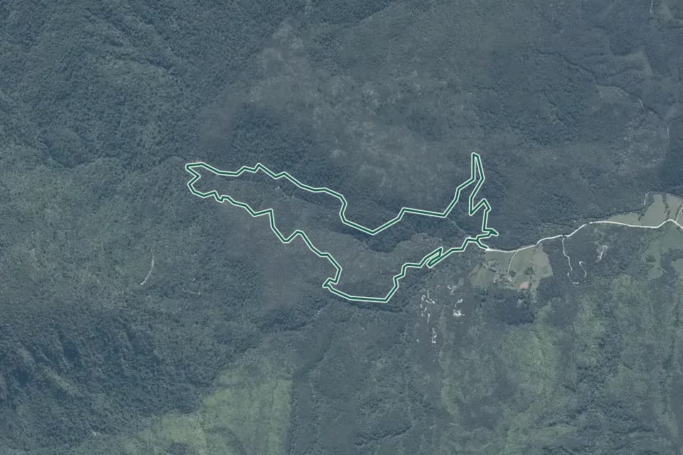
Aerial view
A muted wooded hillside with a compact irregular loop near open fields. Historical aerial imagery with indicative DOC mapped geometry; it may be incomplete or out of date and is not for navigation. This is not a guarantee of the complete or current walk. Not a navigation map or confirmation of access. Cropped, overlaid and converted to WebP.
Aerial view 2024-2025© LINZ + contributorsCC BY 4.0 / Details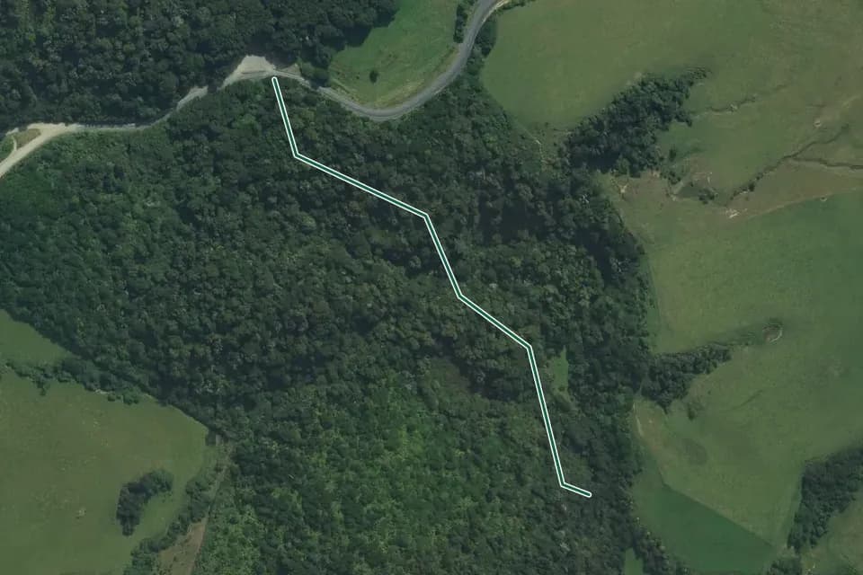
Aerial view
Bent pale line crosses a narrow wooded valley between green fields and a curving road. Historical aerial imagery with indicative DOC mapped geometry; it may be incomplete or out of date and is not for navigation. This is not a guarantee of the complete or current walk. Not a navigation map or confirmation of access. Cropped, overlaid and converted to WebP.
Aerial view 2025© LINZ + contributorsCC BY 4.0 / Details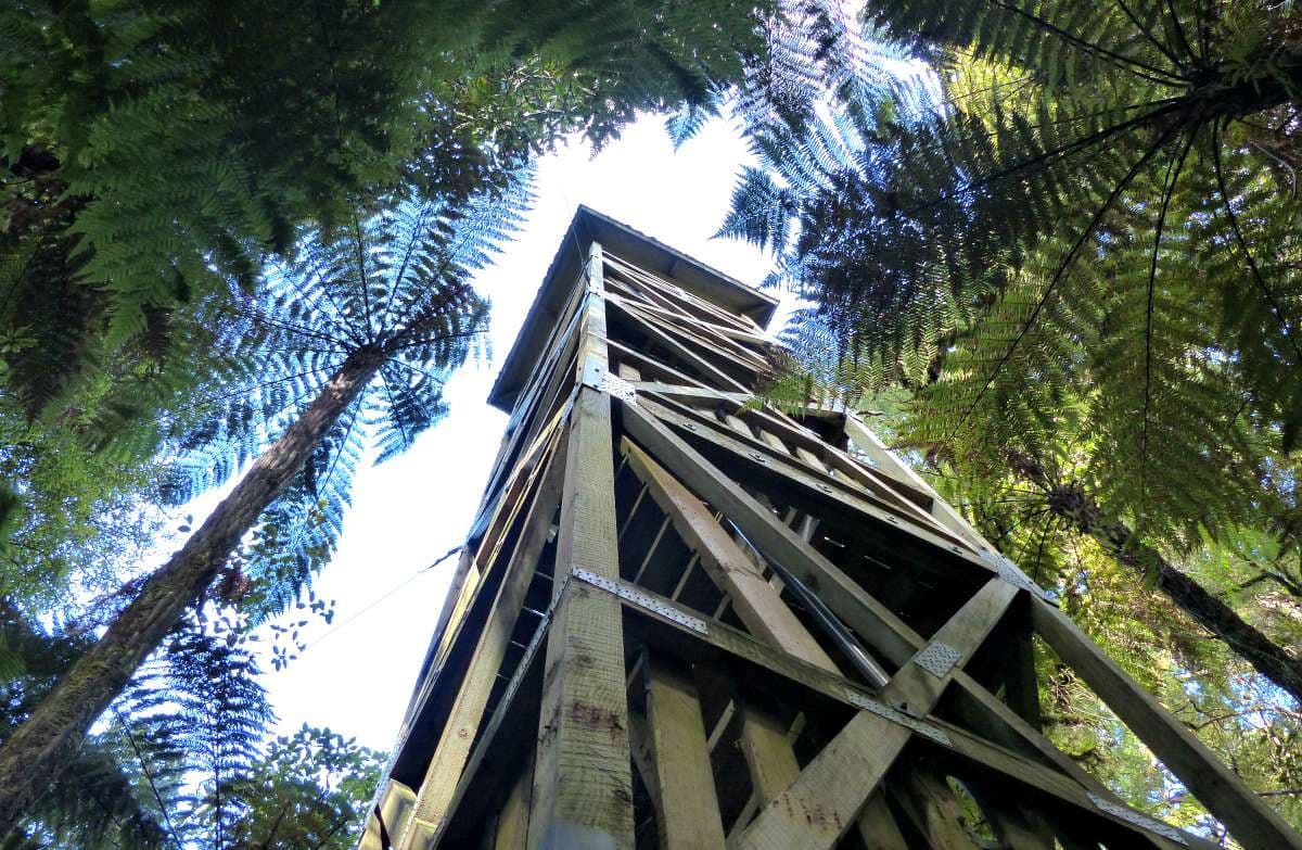
Area context
The twelve metre high Forest Tower is perfect for bird-watching. Published in DOC's Pureora Village short walks guide. Photograph date not supplied; this is route-area context, not a verified trailhead or current-condition photograph.
Photo: Amelia Willis / CC BY 4.0 / DetailsWaikato
Walking time: 5 - 30 min
Source record; checked
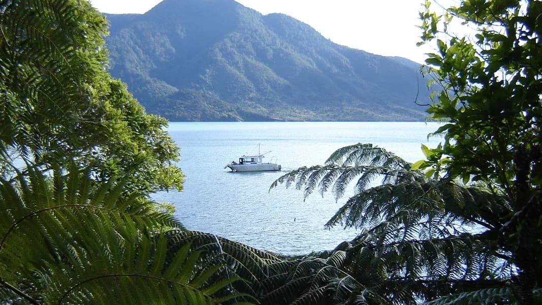
Putanui viewpoint. Photograph of the named location or its documented route feature. Capture date not supplied; not a live view of current conditions.
Photo: Department of Conservation (NZ) / CC BY 4.0 / DetailsMarlborough
Walking time: 30 min - boat access only
Source record; checked
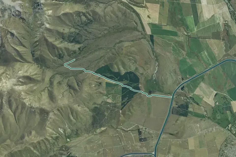
Aerial view
Long bent line links dry rolling hills with flat cultivated land near a straight blue canal. Historical aerial imagery with indicative DOC mapped geometry; it may be incomplete or out of date and is not for navigation. This is not a guarantee of the complete or current walk. Not a navigation map or confirmation of access. Cropped, overlaid and converted to WebP.
Aerial view 2021© LINZ + contributorsCC BY 4.0 / Details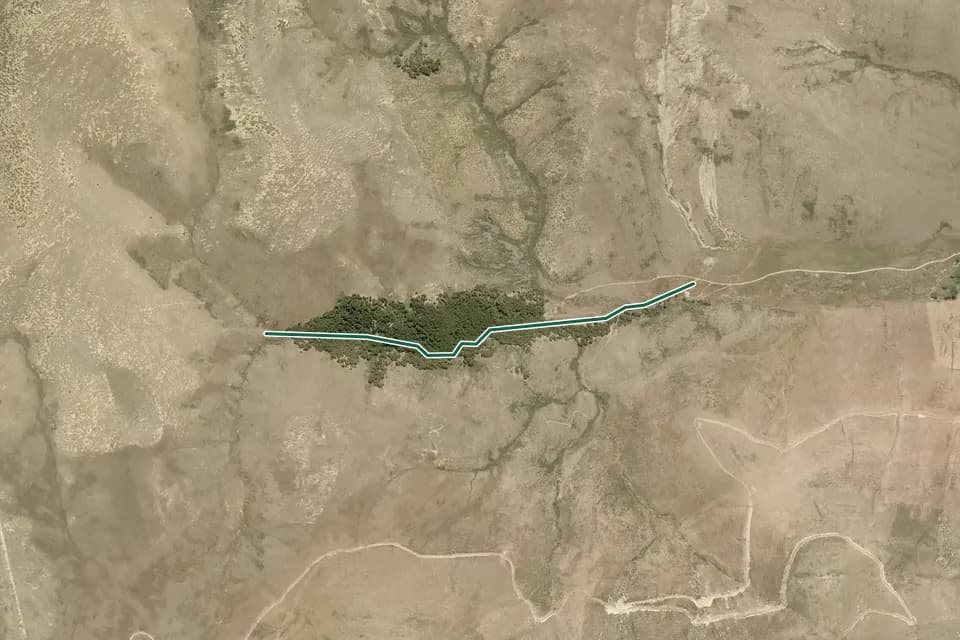
Aerial view
Short horizontal route line runs through a dark grove in broad tan open uplands. Historical aerial imagery with indicative DOC mapped geometry; it may be incomplete or out of date and is not for navigation. This is not a guarantee of the complete or current walk. Not a navigation map or confirmation of access. Cropped, overlaid and converted to WebP.
Aerial view 2013-2014© LINZ + contributorsCC BY 4.0 / DetailsCanterbury
Walking time: 30 min | 2 hr one way
Source record; checked