Skip to content

Outdoor planning topics

Start with the needs of your trip. Compare recorded conditions, then check the details with the land manager or operator.

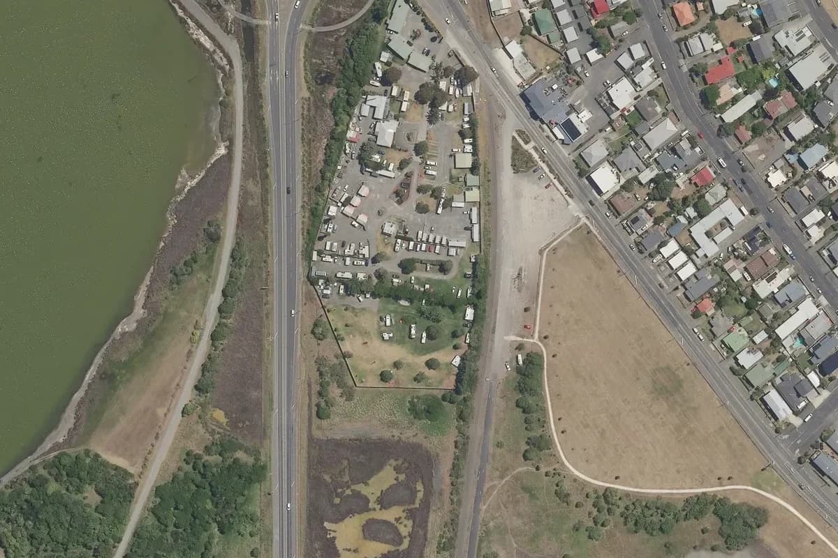
  • Aerial view of Affordable Westshore Holiday Park and its immediate surroundings, from the 2025-2026 LINZ imagery survey.

    Aerial view

    A narrow roadside caravan compound with internal lanes and a tree-dotted camping lawn, between a highway and nearby housing. Historical aerial imagery includes adjacent land; it is not a current pitch plan or surveyed park boundary. Cropped and converted to WebP from LINZ Basemaps.

    Aerial view 2025-2026© LINZ + contributorsCC BY 4.0 / Details

    Family camping planning

    Compare recorded playground notes and prepare a family camping stay without treating facilities as a safety rating.

    111 campsite records
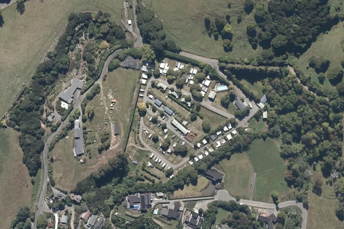
  • Aerial view of Akaroa TOP 10 Holiday Park and its immediate surroundings, from the 2025 LINZ imagery survey.

    Aerial view

    The terraced camping lanes and accommodation at Akaroa TOP 10 on the hillside above the town. Historical aerial imagery includes adjacent land; it is not a current pitch plan or surveyed park boundary. Cropped and converted to WebP from LINZ Basemaps.

    Aerial view 2025© LINZ + contributorsCC BY 4.0 / Details

    Accessible outdoor planning

    Find recorded accessibility notes for New Zealand campsites and tracks, including barriers and restrictions to confirm before travel.

    105 campsite records; 18 track records

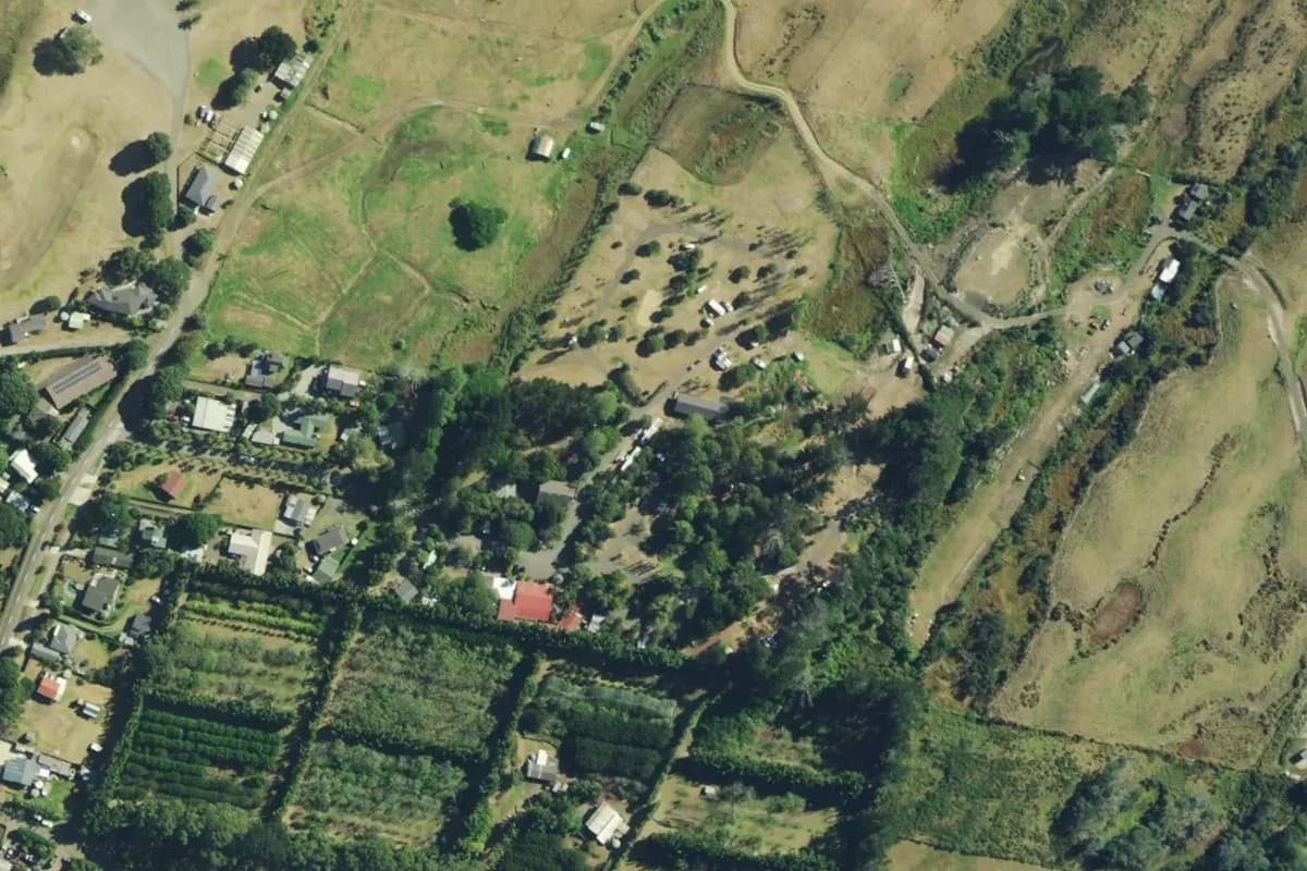
  • Aerial view of Ahipara TOP 10 Holiday Park and its immediate surroundings, from the 2023-2025 LINZ imagery survey.

    Aerial view

    Ahipara's tree-lined camping and cabin area, with the park lanes and adjoining open fields. Historical aerial imagery includes adjacent land; it is not a current pitch plan or surveyed park boundary. Cropped and converted to WebP from LINZ Basemaps.

    Aerial view 2023-2025© LINZ + contributorsCC BY 4.0 / Details

    Campervan services planning

    Compare campsites listing campervan stays and confirmed power, with exact service notes and operator sources.

    193 campsite records

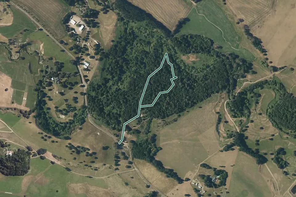
  • Historical aerial overview of the mapped A’Deanes Bush Walk route, with an indicative DOC route overlay.

    Aerial view

    A compact dark-green woodland surrounded by tan and green paddocks, with a pale outlined route rising from the lower-left edge of the bush and looping through its centre. Historical aerial imagery with indicative DOC mapped geometry; it may be incomplete or out of date and is not for navigation. This is not a guarantee of the complete or current walk. Not a navigation map or confirmation of access. Cropped, overlaid and converted to WebP.

    Aerial view 2025-2026© LINZ + contributorsCC BY 4.0 / Details

    Short walks planning

    Explore published short-walk records with recorded walking times, then check grade, access and conditions for your group.

    739 track records

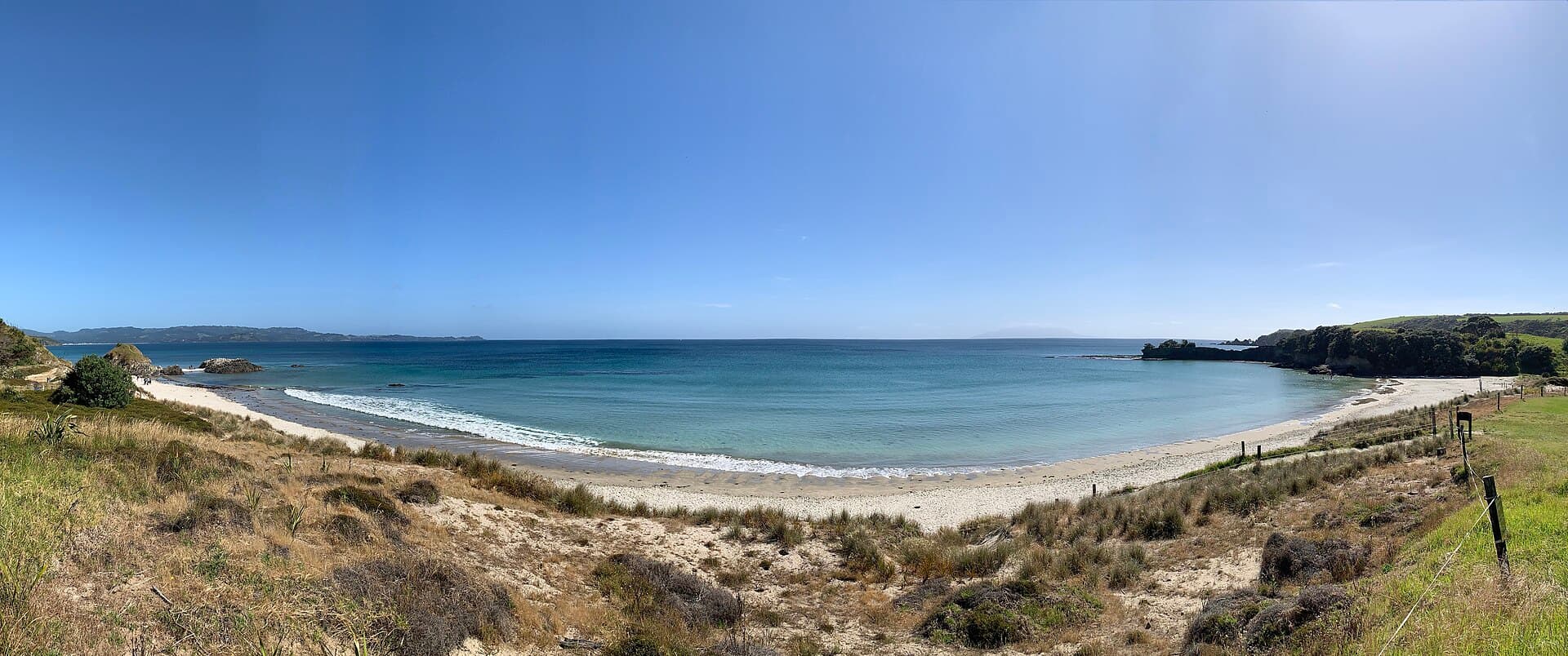
  • Panoramic view of Anchor Bay's sandy beach and blue water from the grassy coast at Tawharanui.

    Illustrative

    Anchor Bay on the Tawharanui Peninsula, photographed on 9 December 2018. Nearby coastal context, not a view of the campground or its pitches. Not a verified photograph of the place or itinerary in this guide.

    Photo: Sleeps-Darkly / CC0 1.0 / Details

    Weekend basecamp planning

    Compare published two- and three-day basecamp plans, with booking guidance and time to check each linked stop.

    8 trip plans

Recorded evidence, not a suitability rating

Each topic explains its inclusion criteria. Missing information remains unknown; restrictions remain part of the record. Read the linked sources and their check dates before deciding where to stay or walk.

All outdoor guides