Use the recorded walking time as a starting point, then read the route and grade. A short-walk classification is not a promise of easy terrain, step-free access or suitability for children.
Planning checklist & guides
Before you choose
Check whether the time describes a return trip, loop or one-way walk.
Read the grade, hazards and current land-manager notices.
Allow time for your group's pace, stops and the return journey.
Tracks qualify only with the published short-walk classification and a recorded walking-time fact backed by content sources. Times are shown verbatim, not converted into an invented duration limit.
All 648 published campsite records, 1589 walking-track records and 26 trip plans are considered against the relevant criteria. Campsites with a closed notice are excluded. Seasonal and access notices remain visible; inclusion does not confirm that a place is open.
Each page shows up to 12 matches per group in name order (A-Z), not a ranking. Use the page links to browse every match. Groups share a page number; shorter groups finish earlier. Full finders also include records outside this topic. Source wording and check dates are retained here and on record pages, not live availability checks.
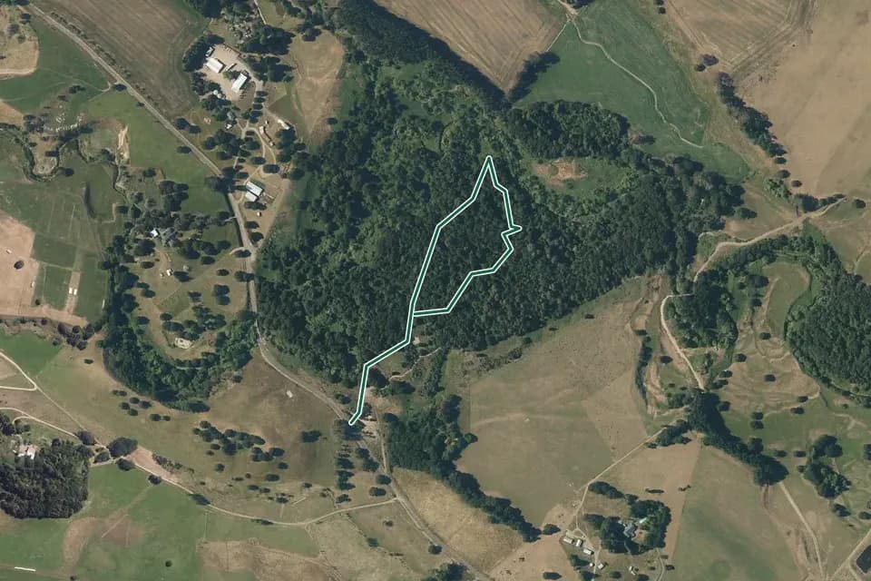
A compact dark-green woodland surrounded by tan and green paddocks, with a pale outlined route rising from the lower-left edge of the bush and looping through its centre. Historical aerial imagery with indicative DOC mapped geometry; it may be incomplete or out of date and is not for navigation. This is not a guarantee of the complete or current walk. Not a navigation map or confirmation of access. Cropped, overlaid and converted to WebP.
Pale open slopes beside a braided river, with a mint loop overlay. Historical aerial imagery with indicative DOC mapped geometry; it may be incomplete or out of date and is not for navigation. This is not a guarantee of the complete or current walk. Not a navigation map or confirmation of access. Cropped, overlaid and converted to WebP.
Dense green forest occupies most of the frame; an angular outlined route crosses it beside a road, an oval grass clearing and a broad pale braided riverbed on the right. Historical aerial imagery with indicative DOC mapped geometry; it may be incomplete or out of date and is not for navigation. This is not a guarantee of the complete or current walk. Not a navigation map or confirmation of access. Cropped, overlaid and converted to WebP.
Pou at Ahuriri Estuary, Napier. Published in DOC's Ahuriri Estuary Walking Track guide. Photograph date not supplied; this is route-area context, not a verified trailhead or current-condition photograph.
Akaroa head. Published in DOC's Akaroa Head Scenic Reserve walk guide. Photograph date not supplied; this is route-area context, not a verified trailhead or current-condition photograph.
A wooded coastal peninsula projects between turquoise bays, with moored boats and houses to the left and a pale branching mapped-route overlay across the headland. Historical aerial imagery with indicative DOC mapped geometry; it may be incomplete or out of date and is not for navigation. This is not a guarantee of the complete or current walk. Not a navigation map or confirmation of access. Cropped, overlaid and converted to WebP.
General backpacking illustration; location unverified. This is not a photograph of the named route or evidence of its terrain, condition or difficulty.
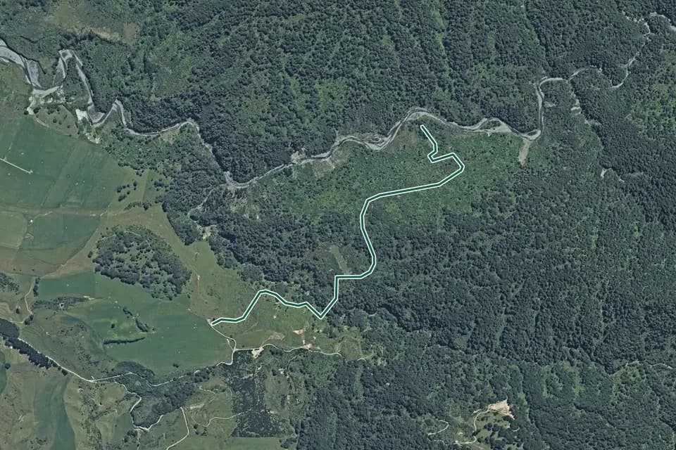
Green farmland meets dense forest beneath a winding river corridor. Historical aerial imagery with indicative DOC mapped geometry; it may be incomplete or out of date and is not for navigation. This is not a guarantee of the complete or current walk. Not a navigation map or confirmation of access. Cropped, overlaid and converted to WebP.
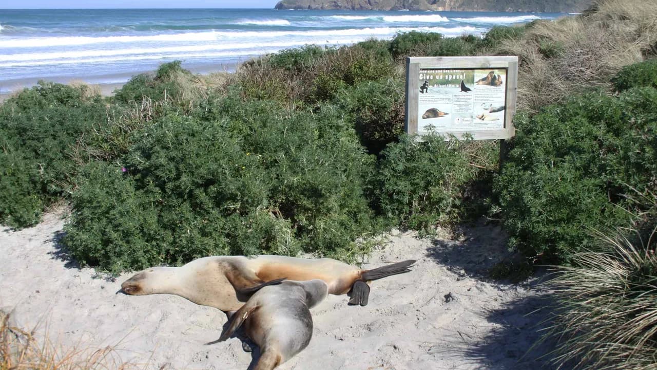
Sea lions on Allans Beach. Photograph of the named location or its documented route feature. Capture date not supplied; not a live view of current conditions.
Peel Forest - Allans Track. Photograph of the named location or its documented route feature. Capture date not supplied; not a live view of current conditions.
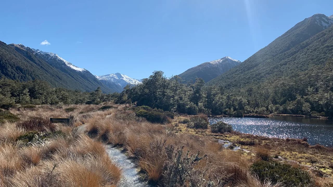
Alpine Nature Walk. Photograph of the named location or its documented route feature. Capture date not supplied; not a live view of current conditions.
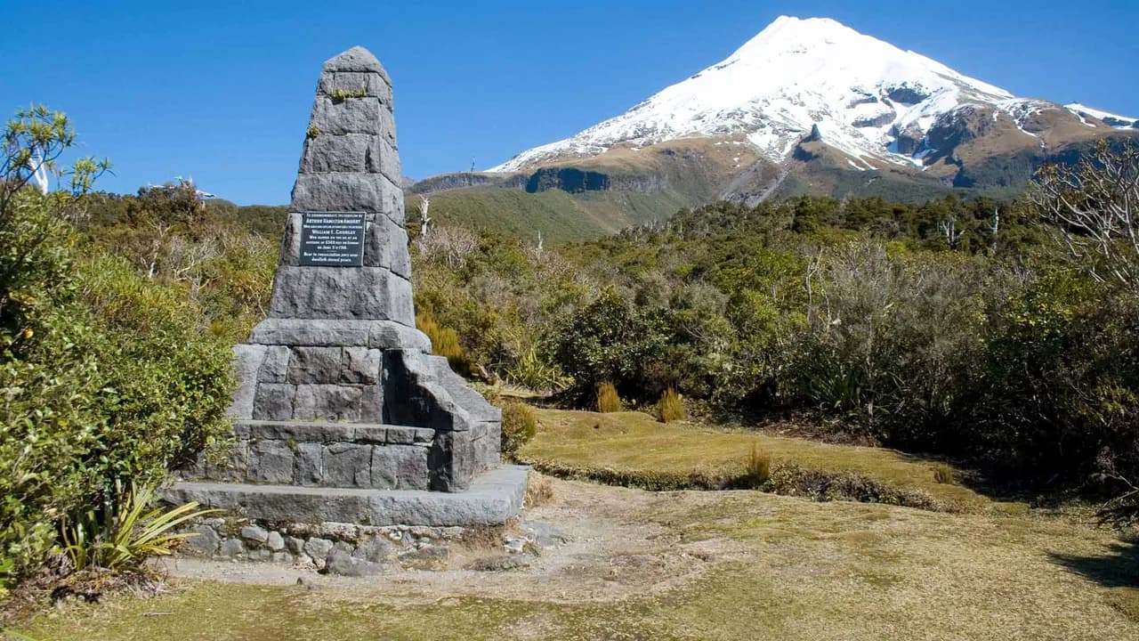
Ambury Monument, North Egmont. Photograph of the named location or its documented route feature. Capture date not supplied; not a live view of current conditions.