Car-Free Outdoor Trips in New Zealand
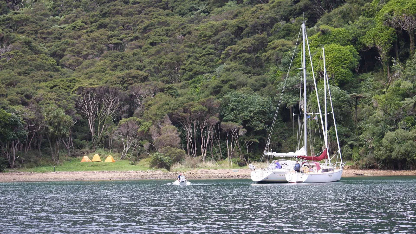
Illustrative photograph. Schoolhouse Bay Campsite viewed from the water, with tents visible on the shore. Boats pictured do not establish landing or mooring rights. Capture date unknown; this photograph does not establish current facilities, conditions, access or availability. Coastal travel illustration at Schoolhouse Bay, not Rangitoto or a scheduled ferry service.
Photo: Margot Ferrier / Department of Conservation (NZ) / CC BY 4.0 / DetailsPlan an outdoor day without a car by checking the whole journey: public transport, the walk from the stop, ferry connections, supplies and the return trip.
Last checked 21 October 2026 / By Outdoor Next / Editorial standards
On this page
Choose the outing from a complete return journey, not just an outward service. A car-free outdoor day works when accommodation, transport, walking access and the return fit together. Start with one manageable outing from a settled base before building an itinerary with several transfers and changing overnight stops.
Search for the actual day
Use the relevant transport authority or operator's own information. Auckland Transport's journey-planner guidance explains how to set a departure or arrival date and time, inspect walking connections and adjust transfers. Check the intended travel date rather than accepting the default journey for now.
Search both directions. Note where each service stops, how you pay and whether separate bookings are required. Inspect the detail of a proposed interchange: changing platforms, reaching a wharf or carrying an overnight pack can take more effort than a line on a map suggests. These checks apply elsewhere, but Auckland's planner does not establish services across New Zealand.
Check the final walking connection
Check the connection between the transport stop and the actual walking entrance. Confirm the official entrance and whether the approach is a suitable pedestrian route. A short distance beside a busy road is not equivalent to a formed footpath. A nearby stop may also serve only one direction or have different arrangements on another day.
Use the track-selection guide to assess the walk independently of its transport. Where accessibility matters, ask about the service, boarding, stop or wharf and route surface separately. Do not convert a transport icon into a claim about the whole outing.
Worked example: Rangitoto
DOC's Rangitoto Summit Track page identifies Rangitoto Wharf as the public-ferry arrival point, with a short connection to the walk. It also states that food and drinking water are unavailable on the island and tells walkers to leave enough time for their return ferry.
Use our Rangitoto walking guide for context, then follow DOC's link to the operator for current sailings and booking conditions. Plan food, drinking water and the return before boarding. An island close to a city still requires preparation; this example is not a checked timetable or a promise of transport on your date.
Keep a connection record
| Leg | What to save |
|---|---|
| Accommodation to stop | Entrance, route and departure margin |
| Main service | Operator, booking and disruption information |
| Stop to walk | Official pedestrian access and meeting point |
| Return | Required arrival time and the operator's missed-service process |
Keep the record offline, but refresh it before leaving. Auckland Transport warns that weather and other disruptions can change services at short notice. A scheduled service is a planning input, not a guarantee that it will run.
Give the day an alternative
Choose an alternative near your base that does not rely on the same ferry, road or connection. Confirm that option's own opening and access arrangements. Shortening or postponing the outing can be more practical than stacking extra transfers onto a missed service.
Carry the day-hike essentials, and use the trailhead transport checklist for any separately booked shuttle.
Cover: Schoolhouse Bay Campsite. Illustrative planning photograph, not a current service or availability report. Photo, source and licence. Guide sources reviewed 21 October 2026.
Sources & official links
- How to use the journey planner (Auckland Transport)
- Check before you travel (Auckland Transport)
- Rangitoto Summit Track: ferry access and visit planning (Department of Conservation)
Frequently asked questions
Can I plan a New Zealand walking trip without hiring a car?
Yes where the entire journey is workable. Check transport in both directions, the pedestrian connection, the walk itself and a realistic alternative if a service changes. Do not assume every track has public transport.
Is Rangitoto an example of a car-free day?
DOC identifies public-ferry access at Rangitoto Wharf and a walking connection to the Summit Track. Check the ferry operator's current timetable and return booking, and bring food and drinking water.
Does a transport planner establish wheelchair access on a trail?
No. Check the particular service, stop or wharf, boarding arrangements and walking route separately with the responsible providers.
Keep planning