Check the rule for every overnight stop and walking track separately. These records include places where dogs are prohibited; appearing here is not permission to bring a dog.
Planning checklist & guides
Before you choose
Read the full rule, including bans, lead requirements and permits.
Confirm restrictions for your dates and accommodation category.
Ask the land manager about assistance-dog arrangements separately.
Campsites qualify with sourced pet rules marked yes, no or conditional. Tracks qualify with a sourced, recorded dog-policy fact. Unknowns are excluded, and prohibitions are deliberately retained.
All 648 published campsite records, 1589 walking-track records and 26 trip plans are considered against the relevant criteria. Campsites with a closed notice are excluded. Seasonal and access notices remain visible; inclusion does not confirm that a place is open.
Each page shows up to 12 matches per group in name order (A-Z), not a ranking. Use the page links to browse every match. Groups share a page number; shorter groups finish earlier. Full finders also include records outside this topic. Source wording and check dates are retained here and on record pages, not live availability checks.
Tramper on Mount Greenland. Photograph of the named location or its documented route feature. Capture date not supplied; not a live view of current conditions.
Open green-brown volcanic hills descend toward branching turquoise harbour inlets. Historical aerial imagery with indicative DOC mapped geometry; it may be incomplete or out of date and is not for navigation. This is not a guarantee of the complete or current walk. Not a navigation map or confirmation of access. Cropped, overlaid and converted to WebP.
Deep green mountain vegetation is interrupted by pale rock bands and an open ridgeline. Historical aerial imagery with indicative DOC mapped geometry; it may be incomplete or out of date and is not for navigation. This is not a guarantee of the complete or current walk. Not a navigation map or confirmation of access. Cropped, overlaid and converted to WebP.
Wooded foothills with a pale river gully border dry ridges and rectangular green farmland. Historical aerial imagery with indicative DOC mapped geometry; it may be incomplete or out of date and is not for navigation. This is not a guarantee of the complete or current walk. Not a navigation map or confirmation of access. Cropped, overlaid and converted to WebP.
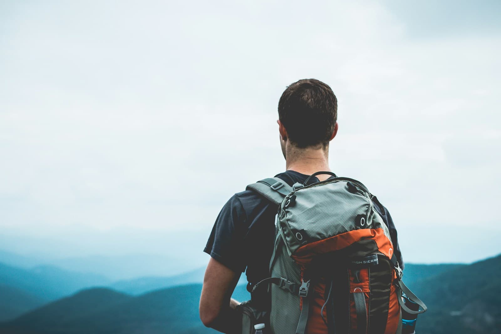
General backpacking illustration; location unverified. This is not a photograph of the named route or evidence of its terrain, condition or difficulty.
General backpacking illustration; location unverified. This is not a photograph of the named route or evidence of its terrain, condition or difficulty.
General backpacking illustration; location unverified. This is not a photograph of the named route or evidence of its terrain, condition or difficulty.
A wooded hill with rocky openings rises above rural houses, paddocks and curving roads. Historical aerial imagery with indicative DOC mapped geometry; it may be incomplete or out of date and is not for navigation. This is not a guarantee of the complete or current walk. Not a navigation map or confirmation of access. Cropped, overlaid and converted to WebP.
General backpacking illustration; location unverified. This is not a photograph of the named route or evidence of its terrain, condition or difficulty.
Open coastal hillside with winding roads and darker gullies above turquoise water at lower right. Historical aerial imagery with indicative DOC mapped geometry; it may be incomplete or out of date and is not for navigation. This is not a guarantee of the complete or current walk. Not a navigation map or confirmation of access. Cropped, overlaid and converted to WebP.