By Outdoor Next Editorial standards
On this page
Key facts
- Distance
- 16 km return via the same track
- Return time
- 5–6 hr
- Elevation gain
- Over 1,200 m; summit 1,578 m
- Difficulty
- Easy to intermediate walking track (DOC category), but a steep, challenging full-day hike needing high fitness
- Start point
- Roys Peak car park, Wānaka – Mount Aspiring Road, about 6 km west of Wānaka
- Dogs allowed?
- No
- Seasonal closure
- 1 October to 10 November annually; check other alerts outside those dates
- Managed by
- Department of Conservation (most of the track crosses private land)
Checked against official sources on 24 September 2026. Rules and conditions are set by Department of Conservation — confirm with them before you go.
Roys Peak Track is a 16 km return hike near Wānaka that takes 5–6 hours and climbs over 1,200 metres to the 1,578-metre summit. DOC's annual lambing closure runs from 1 October to 10 November. Outside that period, weather and other restrictions still need checking: this is a steep, exposed outing, not an automatically available summit walk.
Roys Peak at a glance
| Detail | What DOC says |
|---|---|
| Distance | 16 km return via the same track |
| Time | 5–6 hr return |
| Climb | Over 1,200 m elevation gain |
| Summit | 1,578 m |
| Track category | Easy to intermediate walking track, but described as a challenging full-day hike needing high fitness |
| Toilets | Two: at the car park, and near the photo viewpoint about 30 minutes before the summit |
| Water | None along the track |
| Seasonal closure | 1 October to 10 November (lambing) |
Lambing closure: 1 October check
Checked on 1 October 2026: DOC's annual 1 October to 10 November lambing closure applies today. Do not start the track during the closure. The scheduled 11 November reopening is not guaranteed access: other restrictions and conditions still need checking. Recheck the route page and Otago alerts before travelling.
This October review covers seasonal closure and spring guidance only, not every retained route, parking or alternative-walk detail. The wider factual check remains dated 24 September 2026.
DOC suggests Isthmus Peak during the closure, but its own page grades it advanced tramping track, at 16 km and 5-7 hours return. It also closes 20 November to 20 December for fawning and has alpine hazards. Assess it separately, not as an easier or guaranteed-open substitute. For shorter options, compare Mount Iron and Rocky Mountain in our Wanaka hiking guide.
Getting there and parking
From Wānaka, drive west along Wānaka – Mount Aspiring Road for about 6 km to the large Roys Peak car park on your left.
Parking at Roys Peak car park is free, but it gets very busy and DOC asks people not to park on the edge of the road. DOC warns there may be no spaces at all. Other ways to get there:
- Walk or cycle from Wānaka using Waterfall Creek Track, Glendhu Bay Track and a section of road. These tracks aren't managed by DOC.
- Shuttles and taxis operate; the Wānaka isite can help you find one.
If you're staying in a campervan, plan overnight stops separately using freedom camping in Wānaka.
What the track is like
The track zig-zags steeply up the side of Roys Peak, first through farmland and then tussock. The famous photo viewpoints are roughly 30 minutes before the summit. From the top, return the way you came. Experienced trampers can instead continue onto the more challenging Skyline Track.
Because most of the track is on private land, stay on the marked track, give livestock space, leave gates as you find them and use stiles where provided.
Sunrise, crowds and hiking in the dark
DOC calls Roys Peak a popular track that can be crowded. If you're tempted by a sunrise start, DOC's advice is clear: the safest time of day to hike Roys Peak is during daylight hours. If you do start in the dark:
- Head torches, spare batteries and very warm clothes are essential.
- Don't rely on a phone torch.
- The upper parts of the track are alpine, so prepare for sudden weather changes, rain, snow and cold temperatures at any time of year. Check the NIWA Roys Peak forecast before you leave.
When to go
| Season | What DOC says to expect |
|---|---|
| Summer | Can be very hot, with no shade or water. Bring plenty of water and sun protection, and avoid the hottest part of the day. |
| Autumn | Very variable. It can be very hot, but cold temperatures and snow are possible. |
| Winter | Snow and ice make the track much more difficult. Days are short and the track is often muddy and slippery. |
| Spring | Winter conditions can linger, especially frozen ground. The track is closed 1 October to 10 November. |
In winter and early spring you may need micro-spikes and walking poles as well as sturdy shoes. DOC also warns of challenging avalanche terrain above 1,000 metres; check the New Zealand Avalanche Advisory or ask the Tititea/Mt Aspiring National Park Visitor Centre in Wānaka (+64 3 443 7660) for current conditions.
Safety and what to carry
There is no shade or water on the track. Carry drinking water, food, sun protection, warm layers and a waterproof, windproof jacket. DOC also identifies grip-soled footwear, a torch and a charged phone; check its day hikes gear list against your route and conditions.
The NZ Mountain Safety Council has a Roys Peak virtual guide video, and its Plan My Walk tool shows track alerts and MetService forecasts. Follow the five steps of the Land Safety Code, including telling someone your plans.
Rules on the track
- No dogs.
- No drones without a permit.
- No mountain bikes.
- No campfires. Gas camp cookers are allowed in the Stack Conservation Area on a site clear of flammable material, but no fires are allowed on the private land.
Before you go
- Check the date: the track is closed 1 October to 10 November.
- Check the DOC track page for alerts, and the NIWA forecast.
- Have a backup plan if the car park is full, or book a shuttle.
- Pack more water than you think you need, plus sun protection and warm layers.
- If starting in the dark, bring a head torch with spare batteries.
- In snow or ice, seek current advice and check avalanche conditions; traction aids do not replace the skills needed for the terrain.
For other routes, compare Wanaka hikes. If travelling onwards to Queenstown, Queenstown Hill is a separate outing with its own access checks.
More photographs
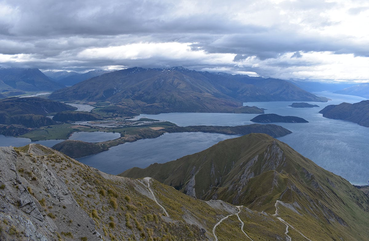
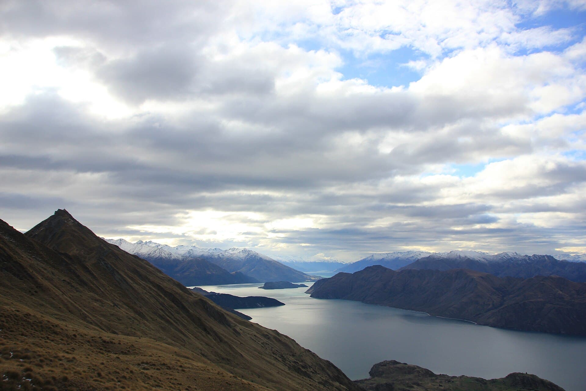
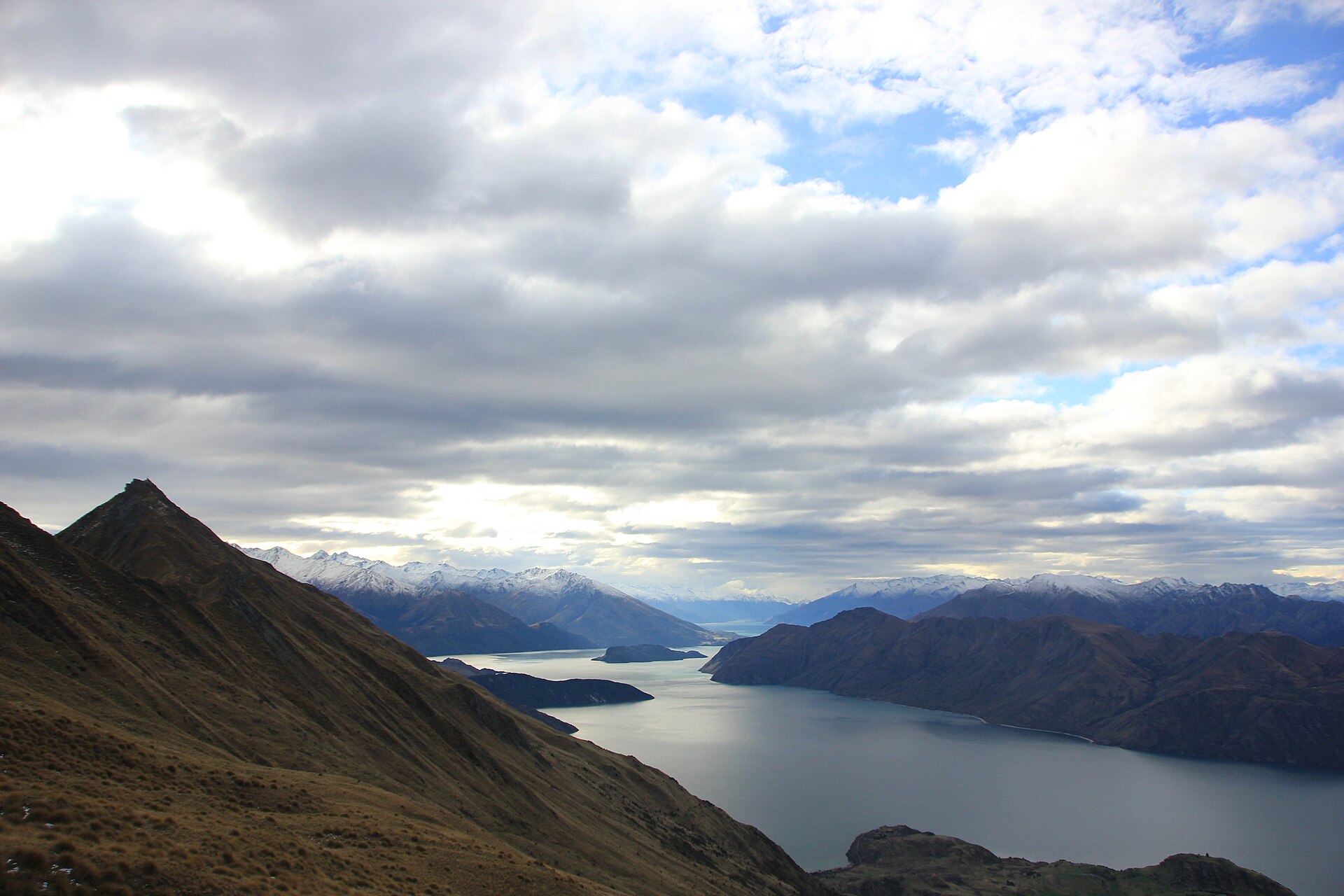
Area context. Roys Peak Track climbs over 1.2 km of vertical height, with great views. Published in DOC's Roys Peak Track guide. Photograph date not supplied; this is route-area context, not a verified trailhead or current-condition photograph.
Photo: Sky_xe / CC BY-SA 4.0 / DetailsFrequently asked questions
When is Roys Peak closed for lambing?
DOC lists the annual closure from 1 October to 10 November, with reopening scheduled for 11 November. That schedule does not override weather or other restrictions. Isthmus Peak needs a separate assessment: it is an advanced tramping track and closes for fawning from 20 November to 20 December.
How long does Roys Peak take?
DOC lists Roys Peak Track as 16 km return via the same track, taking 5–6 hours return. It's a steep climb of over 1,200 metres to the 1,578-metre summit, so DOC says high fitness is needed.
Is parking free at Roys Peak?
Yes. DOC says parking at Roys Peak car park is free for cars and campervans. The car park gets very busy and there may be no spaces, and DOC asks people not to park on the edge of the road. You can also walk or cycle there from Wānaka, or use a shuttle or taxi.
Can I hike Roys Peak for sunrise?
DOC says the safest time to hike Roys Peak is in daylight hours. If you do walk in the dark, head torches, spare batteries and very warm clothes are essential, and DOC says not to rely on a phone torch. The upper track is alpine, so check the forecast first.
Are dogs allowed on Roys Peak?
No. DOC's track page says no dogs are allowed on Roys Peak Track.