By Outdoor Next Editorial standards
On this page
Location & access
DOC track reference point, not a verified trailhead, entrance or the whole route. Check the official route directions before travel.
Official location informationLocation source
DOC track reference point, not a verified trailhead, entrance or the whole route.
Reference point: -40.86290, 173.02103. WGS84 coordinates retained at the official service's returned precision; decimal resolution is not survey accuracy. Source positional accuracy is not specified.
DOC Maps walking and tramping reference point (WGS84), exact official-page GUID / Department of Conservation. Checked 2026-10-12.
Key facts
- Distance
- 60 km one way
- Walking time
- 3–5 days one way
- Track grade
- Intermediate tramping track
Checked against official sources on 26 September 2026. Rules and conditions are set by Department of Conservation — confirm with them before you go.
A multi-day coastal Great Walk whose overnight sequence must fit the compulsory Awaroa tidal crossing.
Walk the whole coastline
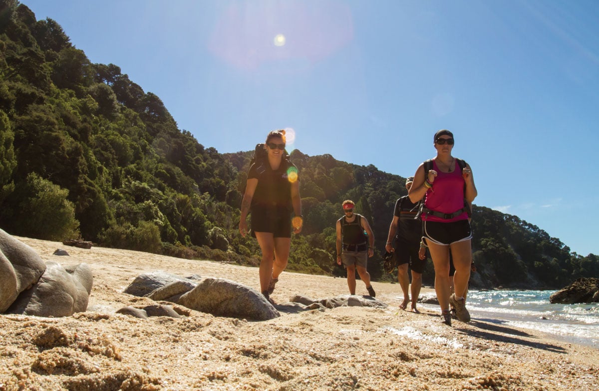
The Coast Track links Marahau and Wainui through forest, beaches and headlands. Treat that complete journey as the walk, rather than assuming a water-taxi day excursion describes the same undertaking. Its appeal is the changing relationship between land and sea: leave room in your itinerary to stop and notice it, without allowing a leisurely morning to compromise an essential crossing later.
Let the tide set the sequence
Awaroa is the non-negotiable planning point. Use DOC's dated tide table and the qualified crossing window in the alerts before reserving beds or arranging a pickup. Torrent Bay has an inland alternative, while large tides can interrupt beach access at Goat Bay. Those differences matter: do not transfer advice for one inlet to another or assume that every beach has a bypass.
Match beds and transport
DOC requires advance hut and campsite reservations throughout the year. Mosquito Bay is boat-access only, so it cannot serve as an overnight walking stage. Write down where each day's walking ends and where the next begins, then check the transfer arrangements separately. Leave room for an operator to change a sailing rather than making the whole trip depend on a tight connection.
Revisit the plan before departure
Read the dated maintenance and hut notices alongside the forecast, not after arriving at the first overnight stop. Ask everyone in the group whether the proposed days still suit their pace with a loaded pack. A useful plan includes an alternative date or shorter trip, contact details stored offline, and a clear understanding that reservations do not certify safe weather or water levels.
Read the official track description and notices immediately before travelling. The source-check date is not a live access or safety report.
More photographs
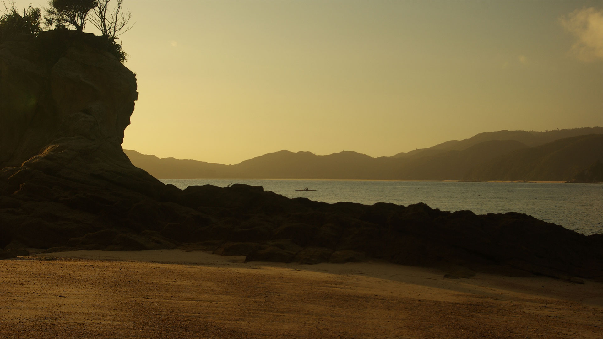
Illustrative photograph. The shore at Totaranui in early-morning light. Coastal context only; the campground and its pitches are not shown. Photograph date not supplied by the source page. Not a verified photograph of the place or itinerary in this guide.
Photo: Samuel Mann / CC BY 2.0 / Details