By Outdoor Next Editorial standards
On this page
Location & access
DOC track reference point, not a verified trailhead, entrance or the whole route. Check the official route directions before travel.
Official location informationLocation source
DOC track reference point, not a verified trailhead, entrance or the whole route.
Reference point: -37.52859, 175.75282. WGS84 coordinates retained at the official service's returned precision; decimal resolution is not survey accuracy. Source positional accuracy is not specified.
DOC Maps walking and tramping reference point (WGS84), exact official-page GUID / Department of Conservation. Checked 2026-10-12.
Key facts
- Distance
- Not confirmed on the checked DOC page; see individual route sections
- Walking time
- 3 hours
- Track grade
- Advanced
- Location
- Kaimai Mamaku Conservation Park / Waiorongomai Valley
- Dog access
- No dogs. Other pets on conservation land rules.
Checked against official sources on 8 October 2026. Rules and conditions are set by Department of Conservation — confirm with them before you go.
Route overview
A more challenging route to popular Waitawheta Hut, starting from Waiorongomai or Te Aroha.
This DOC directory entry covers Waipapa Track to Waitawheta Hut in Bay of Plenty, within Kaimai Mamaku Conservation Park / Waiorongomai Valley. Where DOC groups several walks, times and grades refer to the listed options rather than a single continuous itinerary.
Distance, time and grade
- Distance: Not confirmed on the checked DOC page; see individual route sections
- Walking time: 3 hours
- DOC grade: Advanced
Access and alerts
Source checked 2026-10-08. This page is a dated snapshot, not a live track-status report. Check current DOC route information immediately before travelling. An absence of listed alerts does not establish that a route is open.
Dog access
No dogs. Other pets on conservation land rules.
Description
From Waiorongomai Saddle, follow Waipapa Track north-east along the ridge (this section is also known as the Crimson Thread Track). The track then swings to the south-east and passes the Pukekohatu high point (799 m).
The track then reaches a junction. the Waipapa Track descends into the Waitawheta Valley, while a route (the original North-South route) continues along the ridge towards Pylon Peak. Follow the Waipapa Track, signposted to Waitawheta Hut.
The Waipapa Track descends off the ridge, then sidles around the headwaters of the Waipapa Stream. It descends gently into the Waitawheta Valley, to Waitawheta Hut.
This popular hut is situated in a grassy clearing near the Waitawheta River. The hut is located on the original Waitawheta cookhouse site. There is a replica sawmill 5 mins down the track from the hut. It is identical to what was used in the kauri saw-milling days.
There is a more family friendly route to the hut, via the Waitawheta Tramway Track starting at Franklin Road.
Getting there
This track can be started from Waiorongomai Saddle or Waitawheta Hut.
Know before you go
Expect a steep and rough track
You need good fitness for this track. It is steep and the terrain is best suited for experienced trampers.
The track is rough, so wear comfortable hiking boots/shoes with good grip and ankle support.
Be prepared for the backcountry
You must be well prepared when tramping. Ensure you have a tent, sleeping bag, topographic map, torch, strong boots, warm clothing, a good raincoat, first aid kit, ample food and drink, a hat, and sunscreen.
Do not rely on mobile coverage. It is intermittent in this area.
What to pack for an overnight or multi-day hike.
Take care when crossing streams
There are unbridged stream crossings on this track. They are normally small and safe to cross, but they can flood after heavy rain and become dangerous. Assess them carefully before crossing and if in doubt, stay out.
Learn how to recognise the signs of an unsafe stream.
Check the weather before you go – forecast for Karangahake Gorge.
Sources and reuse
Route descriptions and practical information reproduced from the Department of Conservation, Crown copyright, under CC BY 4.0, subject to DOC's copyright policy. Formatting has been adapted, including flattening page sections; follow the original DOC page for maps, section-specific layout, current notices and linked documents. Outdoor Next is independent and is not endorsed by DOC.
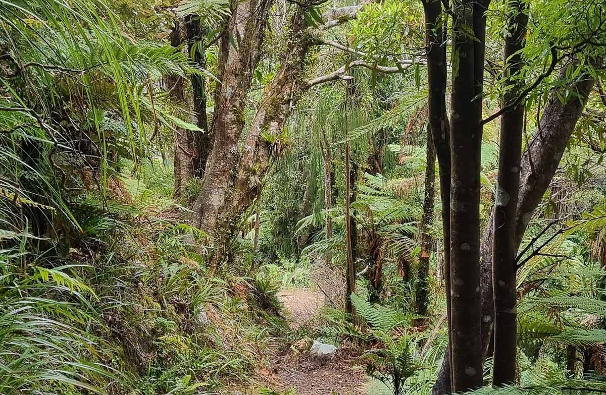
The accompanying photograph is published in DOC's official route gallery with an explicit reuse licence. Its original caption and credit are retained; it does not establish current track conditions.
