By Outdoor Next Editorial standards
On this page
Location & access
DOC track reference point, not a verified trailhead, entrance or the whole route. Check the official route directions before travel.
Official location informationLocation source
DOC track reference point, not a verified trailhead, entrance or the whole route.
Reference point: -42.09250, 171.34065. WGS84 coordinates retained at the official service's returned precision; decimal resolution is not survey accuracy. Source positional accuracy is not specified.
DOC Maps walking and tramping reference point (WGS84), exact official-page GUID / Department of Conservation. Checked 2026-10-12.
Key facts
- Distance
- 1.4 km return via same track
- Walking time
- 30 min return
- Track grade
- Easy short walk
Checked against official sources on 26 September 2026. Rules and conditions are set by Department of Conservation — confirm with them before you go.
A short rainforest descent to coastal viewing platforms near Punakaiki, with serious surf and cliff hazards beyond the walk.
Follow the forest to the coast
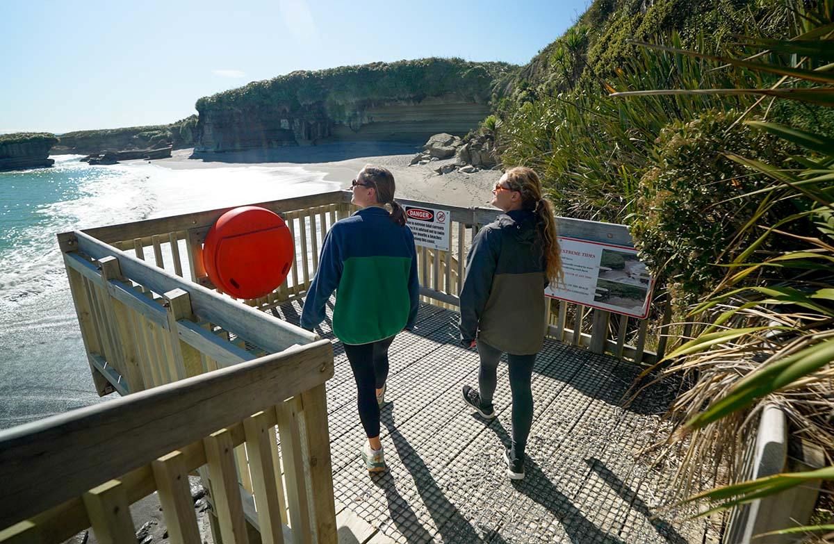
Truman Track descends from the highway north of Punakaiki through forest to coastal viewing platforms. The transition from sheltered vegetation to the sea is the central experience. Plan this as a return walk to the appropriate viewing area, not an automatic beach exploration. You can appreciate the coast without needing to stand beneath the cliffs or reach the water's edge.
Let the sea choose the endpoint
DOC identifies the lower platform as the walk's end and warns that rough seas can wash across it. Only descend there in calm conditions. Beach access has additional tide, wave and cliff hazards, so a low-tide prediction alone does not establish safety. Be prepared to turn around higher up; the published short-walk grade does not apply to an improvised coastal scramble.
Organise the highway crossing
The parking area sits opposite the entrance on a fast section of SH6. Get the group ready before crossing, keep children close and avoid distraction from arriving vehicles or photographs. Check parking instructions if the small area is full. A walk that takes little time on the track still deserves a careful arrival and departure, particularly when it is a stop during a longer drive.
Keep the visit simple
Carry drinks and weather protection, and allow time to return without rushing uphill. Choose the walk for its forest and coastal perspective rather than a promised beach activity. Review the current forecast and DOC notices before travel, then reassess at the coast itself. Agree that anyone in the group can request an earlier turnaround without needing to justify missing the lowest viewpoint.
Read the official track description and notices immediately before travelling. The source-check date is not a live access or safety report.
More photographs

Illustrative photograph. A backpack carried outdoors; location unverified. This is not a retailer or current-stock photograph. Not a verified photograph of the place or itinerary in this guide.
Photo: Cody Black / Unsplash License / Details