By Outdoor Next Editorial standards
On this page
Location & access
DOC track reference point, not a verified trailhead, entrance or the whole route. Check the official route directions before travel.
Official location informationLocation source
DOC track reference point, not a verified trailhead, entrance or the whole route.
Reference point: -44.76344, 171.00755. WGS84 coordinates retained at the official service's returned precision; decimal resolution is not survey accuracy. Source positional accuracy is not specified.
DOC Maps walking and tramping reference point (WGS84), exact official-page GUID / Department of Conservation. Checked 2026-10-12.
Key facts
- Distance
- Not confirmed on the checked DOC page; see individual route sections
- Walking time
- Not specified in the checked DOC directory
- Track grade
- Easy
- Location
- Hunters Hills area
- Dog access
- No dogs. Other pets on conservation land rules.
Checked against official sources on 8 October 2026. Rules and conditions are set by Department of Conservation — confirm with them before you go.
Route overview
Enjoy a wide range of tracks, from an easy, fun cycle with the family along Railway Track, to a steep 50-minute walk to the Whitehorse monument with great views out over Waimate.
This DOC directory entry covers Studholme Bush Scenic Reserve tracks in Canterbury, within Hunters Hills area. Where DOC groups several walks, times and grades refer to the listed options rather than a single continuous itinerary.
Distance, time and grade
- Distance: Not confirmed on the checked DOC page; see individual route sections
- Walking time: Not specified in the checked DOC directory
- DOC grade: Easy
Access and alerts
Source checked 2026-10-08. This page is a dated snapshot, not a live track-status report. Check current DOC route information immediately before travelling. An absence of listed alerts does not establish that a route is open.
Dog access
No dogs. Other pets on conservation land rules.
Description
Railway Track
Track category: Walking track / Grade 1 mountain bike trackTime: 30 min one way (walking)
An easy, level track where the family can enjoy pretending to be trains! This former railway from Waimate to Waihao Forks was opened in 1882. It stopped taking passengers in 1931 and closed in 1953 due to lack of freight. The 2 km section of railway embankment provides a flat track with Deep Creek on one side and wetlands and regenerating bush on the other.
Ngaio Track
Track category: Walking trackTime: 35 min one way (walking)
This track climbs steeply after a few hundred metres and provides great views over Waimate and the surrounding country. The numerous ngaio trees are very unusual; these trees are usually found on the coast but here they enjoy the micro-climate in the gorge.
Waterfall Track
Track category: Walking trackTime: 30 min return (walking)
The waterfall, about 15-m high, is fed by a small stream that may run dry in periods of drought. Follow Railway Track and then walk up Bellbird Track for about 15 minutes until you reach Waterfall Track.
Bellbird Track
Track category: Walking track / Grade 3 mountain bike trackTime: 45 min one way (walking)
This 2 km walk between Railway Track and the top of Ngaio Track passes through areas of regenerating bush.
Quail Track
Track category: Walking trackTime: 35 min one way (walking)
Quail Track connects the middle section of Bellbird Track with Railway Track. It provides an alternative route back to the car park.
Whitehorse Link Track
Track category: Walking track / Grade 1 mountain bike trackTime: 15 min one way (walking)
This track connects with Waimate District Council’s Centrewood Park and the monument commemorating the Clydesdale horse.
Getting there
Follow State Highway 82 (Hakataramea Highway) from Waimate; after about 3.5 km the car park is on the right of the road.
Nature and conservation
There is a mixture of regenerating podocarp and hardwoods and some coastal species, like ngaio, are present due to the micro climate in the gorge. In December 2010, a fire started by a tree falling on power-lines burnt 154 hectares and took six days to put out. Native bush will again regenerate through the gorse and broom over the coming decades.
History and culture
The reserve is named after Michael Studholme who was the first European settler in Waimate. He came to New Zealand with his two brothers in 1848. His pastoral lease, 'Te Waimate' was said to be; “an estate which Lincoln delegates, after having visited and inspected the land throughout the Colonies, pronounced to be the very finest in New Zealand, if not in the Southern Hemisphere. So rich is a large portion of the land that it is said to be able to carry a bullock to the acre.”
The reserve was donated to the public by the Gama Foundation in 2008 and then generously gifted to the Department of Conservation to manage in 2009.
Sources and reuse
Route descriptions and practical information reproduced from the Department of Conservation, Crown copyright, under CC BY 4.0, subject to DOC's copyright policy. Formatting has been adapted, including flattening page sections; follow the original DOC page for maps, section-specific layout, current notices and linked documents. Outdoor Next is independent and is not endorsed by DOC.
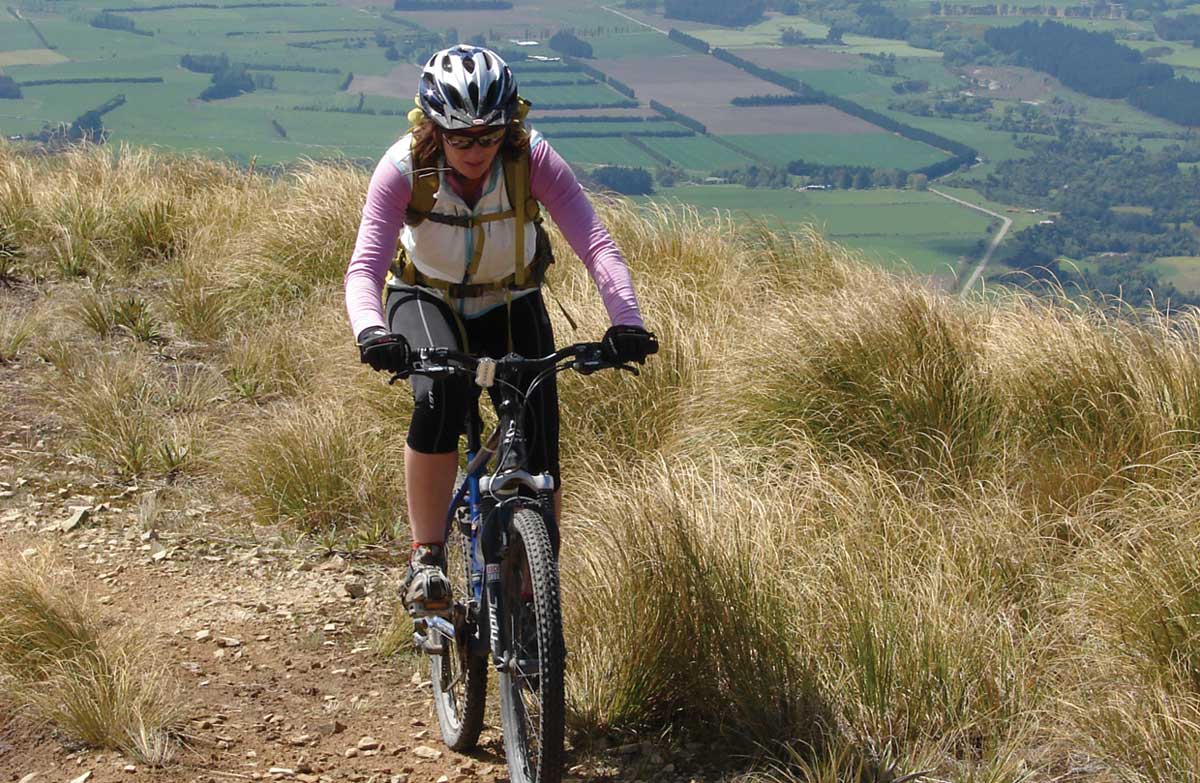
The accompanying photograph is published in DOC's official route gallery with an explicit reuse licence. Its original caption and credit are retained; it does not establish current track conditions.
