By Outdoor Next Editorial standards
On this page
Location & access
DOC track reference point, not a verified trailhead, entrance or the whole route. Check the official route directions before travel.
Official location informationLocation source
DOC track reference point, not a verified trailhead, entrance or the whole route.
Reference point: -43.71417, 170.07921. WGS84 coordinates retained at the official service's returned precision; decimal resolution is not survey accuracy. Source positional accuracy is not specified.
DOC Maps walking and tramping reference point (WGS84), exact official-page GUID / Department of Conservation. Checked 2026-10-12.
Key facts
- Distance
- Not confirmed; check the manager's route description.
- Walking time
- 3 - 4 hr return
- Track grade
- Easy to intermediate walking track
Checked against official sources on 26 September 2026. Rules and conditions are set by Department of Conservation — confirm with them before you go.
A steep stepped return above Aoraki/Mount Cook village, ending at the tarns rather than continuing to Mueller Hut.
Set the tarns as the destination
Sealy Tarns is the stepped climb above the Hooker Valley, with mountain views when conditions allow. The intended turnaround is at the tarns. Do not let the presence of a continuing line towards Mueller Hut quietly extend the plan. Agree on the destination while still at the start, particularly when a group includes people with different expectations or levels of mountain experience.
Budget for the descent
DOC describes a substantial stair climb and a narrowing upper section. The published return time is useful for planning, but it does not account for every person's pace or comfort on repeated steps. Start steadily, pause before fatigue becomes a problem and keep the return in mind. A view reached by using all the group's energy leaves an avoidable problem for the descent.
Let conditions determine suitability
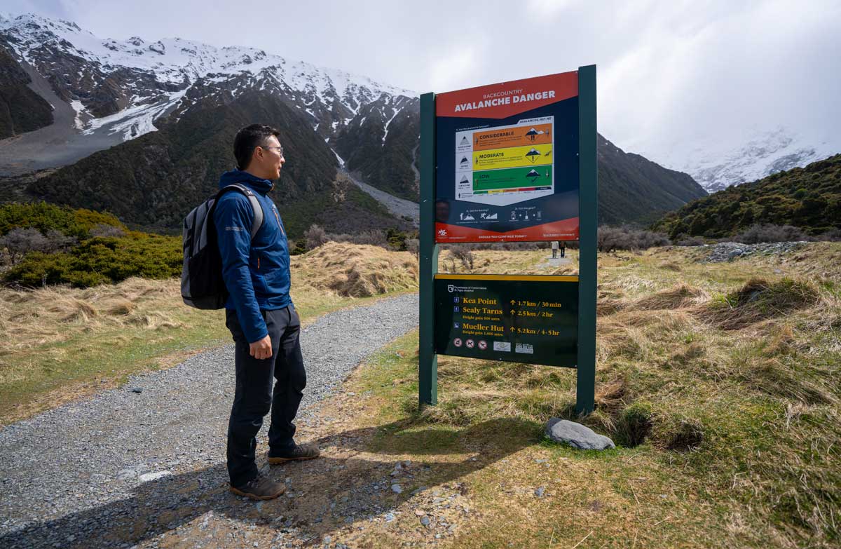
The official walking grade does not remove winter hazards. DOC warns of ice, possible avalanche exposure and the absence of shelter or an alternative route, and directs visitors to seek current advice. If specialist equipment is needed, possessing it is not the same as knowing how to use it. Select a lower walk when the conditions exceed the party's experience.
Prepare at the actual start
Check which access point you intend to use and the current parking and facility notices before leaving the village. Carry the water you need instead of depending on a trailhead tap during reduced winter operations. Keep clothing accessible without unpacking everything, and leave a clear expected return time. The route can be the day's main activity without needing another climb afterwards.
Read the official track description and notices immediately before travelling. The source-check date is not a live access or safety report.
More photographs
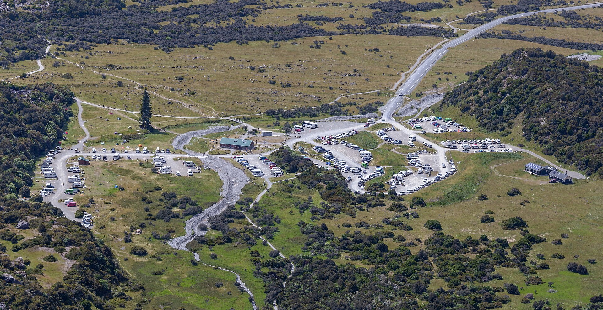
Illustrative photograph. White Horse Hill Campsite and the adjoining car park, photographed on 15 January 2020. This historical view does not establish today's layout or facilities. Not a verified photograph of the place or itinerary in this guide. Photographed 2020-01-15.
Photo: Michal Klajban / CC BY-SA 4.0 / Details
