By Outdoor Next Editorial standards
On this page
Location & access
DOC track reference point, not a verified trailhead, entrance or the whole route. Check the official route directions before travel.
Official location informationLocation source
DOC track reference point, not a verified trailhead, entrance or the whole route.
Reference point: -38.26603, 175.07735. WGS84 coordinates retained at the official service's returned precision; decimal resolution is not survey accuracy. Source positional accuracy is not specified.
DOC Maps walking and tramping reference point (WGS84), exact official-page GUID / Department of Conservation. Checked 2026-10-12.
Key facts
- Distance
- 1 km loop
- Walking time
- 45 min
- Track grade
- Easy short walk
Checked against official sources on 26 September 2026. Rules and conditions are set by Department of Conservation — confirm with them before you go.
A short Waitomo limestone circuit with a natural-bridge viewing platform, forest steps and careful footing around cave terrain.
Start at Ruakuri, not the village
The car-park circuit is reached from Tumutumu Road, outside Waitomo Village. Starting on foot in the village adds the separate Waitomo Walkway and is not covered by the loop's headline time. Choose the correct starting point before planning another appointment that day. There are toilets and a picnic area at the car park. Leave time to read the entrance information and agree where everyone will regroup before heading into the gorge.
A short walk with real footing
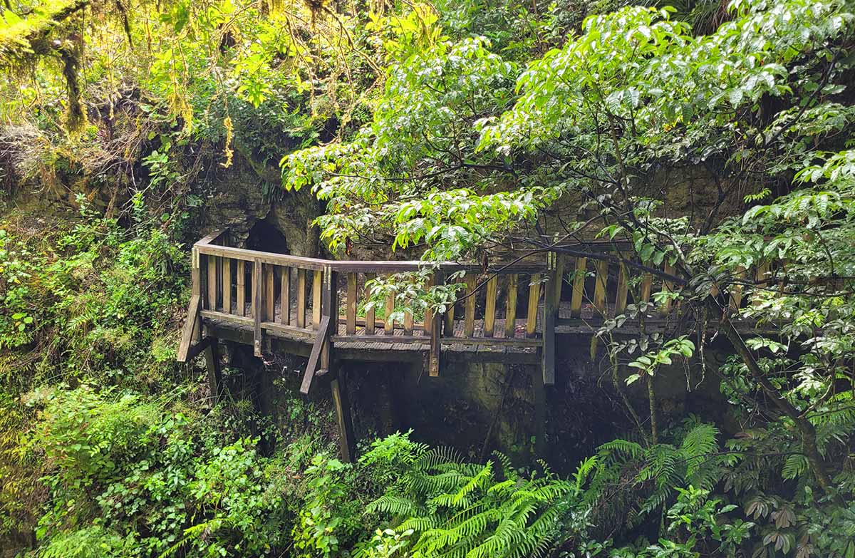
The route follows the stream through limestone country and descends towards the natural-bridge viewing platform. Expect stairs, some steep ground and a dark approach under low rock. Keep a hand free and pause before entering the dimmer section so your eyes can adjust. This is not an invitation to explore unmarked holes or caves. DOC describes Waitomo's arches, tunnels and enclosed depressions as karst: apparently solid forest ground can conceal abrupt changes beside the marked route.
Choose daylight or a planned evening
Glowworms may be seen near the main bridge after dark. Treat that as a separate reason to visit, not a reason to stay beyond the group's comfortable walking conditions. If planning an evening outing, carry individual lights and a warm layer; DOC notes that Waitomo evenings can be crisp. Revisit the entrance map and tell someone when you expect to finish. Keep the group compact near steps and do not let photographs delay the person who is least confident. For an unhurried daytime visit, reserve extra time for the viewing platform rather than adding an unscheduled village walk afterward.
Read the official track description and notices immediately before travelling. The source-check date is not a live access or safety report.
More photographs

Illustrative photograph. A backpack carried outdoors; location unverified. This is not a retailer or current-stock photograph. Not a verified photograph of the place or itinerary in this guide.
Photo: Cody Black / Unsplash License / Details