
By Outdoor Next Editorial standards
On this page
Location & access
DOC track reference point, not a verified trailhead, entrance or the whole route. Check the official route directions before travel.
Official location informationLocation source
DOC track reference point, not a verified trailhead, entrance or the whole route.
Reference point: -39.02249, 175.73482. WGS84 coordinates retained at the official service's returned precision; decimal resolution is not survey accuracy. Source positional accuracy is not specified.
DOC Maps walking and tramping reference point (WGS84), exact official-page GUID / Department of Conservation. Checked 2026-10-12.
Key facts
- Distance
- 5 km loop
- Walking time
- 2 hr loop
- Track grade
- Easy to intermediate walking track
Checked against official sources on 26 September 2026. Rules and conditions are set by Department of Conservation — confirm with them before you go.
A complete forest-and-lakeshore circuit near Turangi, reached by an uphill approach from SH47 with a busy-road crossing.
Cross the road as a group
The signposted parking area is off SH47 near Te Ponanga Saddle, outside Turangi, with the track starting across the road. Organise packs and children before approaching traffic. From the entrance, an uphill path reaches the lake-loop junction. That approach is part of the outing, not a reason to expect immediate flat lakeshore walking. Save the trailhead location and keep the return road crossing in mind when deciding how late to stay.
Follow the complete lake circuit
DOC describes turning right at the junction, passing Five Minute Beach and then Long Beach, where there is a toilet. The circuit continues around the lake before rejoining the approach. The published figure is for this full loop. A shorter option goes left towards Ten Minute Beach, but do not mistake the beach names for the total duration of the visit. Give the group a clear choice between the circuit and a separately planned shorter return.
Leave time to pause
This is a forest-and-lake outing within the wider Turangi area, not an alpine summit route. Build in time for a quiet shore stop without treating the headline duration as a finish deadline. Carry lunch, water and a layer, and put the least confident walker's pace ahead of completing the circuit quickly. Stay on the formed route, leave wildlife undisturbed and keep dogs at home. If conditions or energy change before committing to the loop, choose the simpler return while that remains practical. Once back at the junction, regroup before the descent to the road so nobody reaches the traffic crossing alone.
Read the official track description and notices immediately before travelling. The source-check date is not a live access or safety report.
More photographs
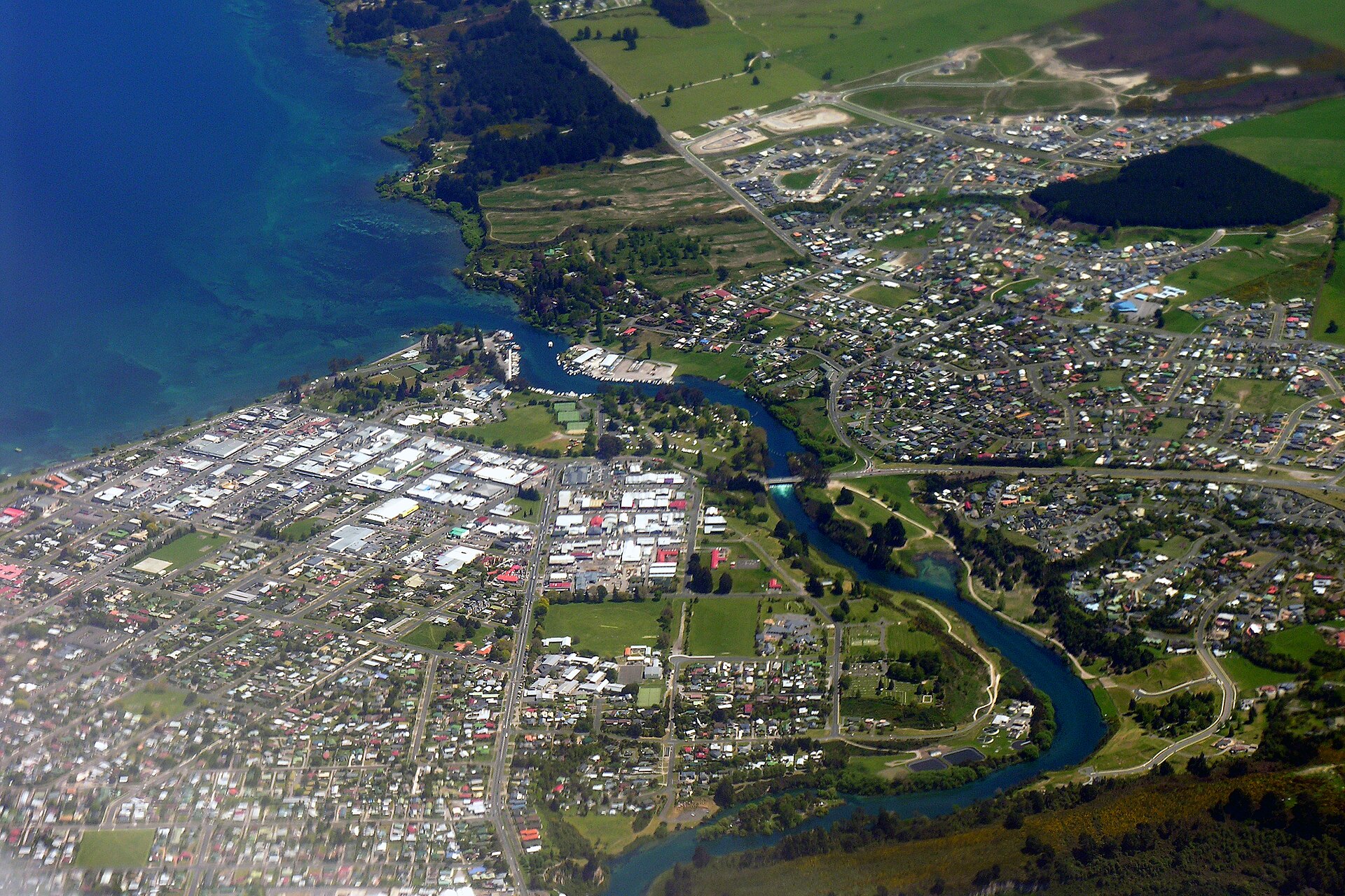
Illustrative photograph. Taupo township, Lake Taupo and the Waikato River outlet in a 2005 aerial photograph. Area context only; this historical view does not identify current camping areas. Not a verified photograph of the place or itinerary in this guide. Photographed 2005-10-26.
Photo: Phillip Capper / CC BY 2.0 / Details
