By Outdoor Next Editorial standards
On this page
Key facts
- Distance
- Not confirmed; check the manager's route description.
- Walking time
- 2-3 hr to hut; return additional
- Track grade
- Easy to intermediate walking track
Checked against official sources on 1 October 2026. Rules and conditions are set by Department of Conservation — confirm with them before you go.
A forest climb towards Rangiwahia Hut above the bushline, suitable for a planned out-and-back day rather than an unresearched continuation over the tops.
Plan the hut as the turnaround
Follow DOC's approach through Rangiwahia to the Renfrew Road end. The track starts beside the upper car park, with the Deadmans Track junction near the beginning. Choose the Rangiwahia Hut approach for this outing; the Deadmans circuit is not included. The published estimate describes getting to the hut, so retain a separate return allowance. Leave your intentions with somebody and choose a turnaround time that still works if the climb takes longer than expected.
Let the terrain set the pace
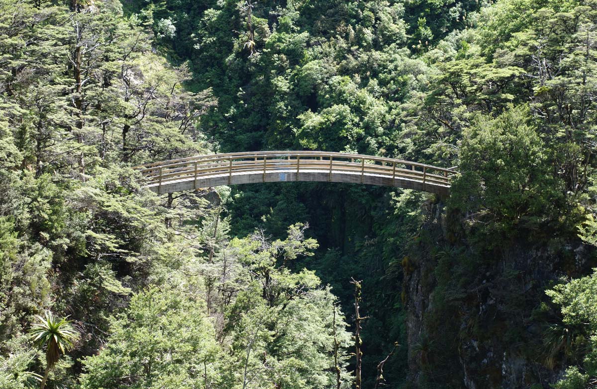
The benched track climbs through forest, zigzags above an active slip and crosses a deep ravine on an arched bridge. Beyond that crossing the grade increases, with smaller shrubs and a waterfall before the hut. These landmarks help frame the walk, but they are not instructions to press on in unsuitable conditions. Pause in secure places, keep the group together and reserve energy for descending. No route distance has been inserted from a third-party estimate.
Keep the open tops separate
Rangiwahia Hut is above the bushline, where a forest walk becomes a more exposed destination. Check the forecast and carry warm, waterproof layers, food and a way to summon help. Turning back before reaching the hut is a valid outcome. Do not add a tops crossing because another junction looks nearby. Overnight stays require their own current hut arrangements; this record promises neither a bed nor availability. Before travelling, recheck DOC notices and leave pet dogs at home.
Read the official track description and notices immediately before travelling. The source-check date is not a live access or safety report.
More photographs

Illustrative photograph. A backpack carried outdoors; location unverified. This is not a retailer or current-stock photograph. Not a verified photograph of the place or itinerary in this guide.
Photo: Cody Black / Unsplash License / Details
