By Outdoor Next Editorial standards
On this page
Location & access
DOC track reference point, not a verified trailhead, entrance or the whole route. Check the official route directions before travel.
Official location informationLocation source
DOC track reference point, not a verified trailhead, entrance or the whole route.
Reference point: -43.78443, 172.83224. WGS84 coordinates retained at the official service's returned precision; decimal resolution is not survey accuracy. Source positional accuracy is not specified.
DOC Maps walking and tramping reference point (WGS84), exact official-page GUID / Department of Conservation. Checked 2026-10-12.
Key facts
- Distance
- 600 m return via same track
- Walking time
- 20 min return
- Track grade
- Easiest
- Location
- Banks Peninsula area
- Dog access
- Dogs on a leash only. Other pets on conservation land rules.
Checked against official sources on 8 October 2026. Rules and conditions are set by Department of Conservation — confirm with them before you go.
Route overview
This walk takes you through Okuti Valley Scenic Reserve which features lowland forest such as kaikahikatea, tōtara, māhoe and kānuka.
This DOC directory entry covers Okuti Valley Scenic Reserve walk in Canterbury, within Banks Peninsula area. Where DOC groups several walks, times and grades refer to the listed options rather than a single continuous itinerary.
Distance, time and grade
- Distance: 600 m return via same track
- Walking time: 20 min return
- DOC grade: Easiest
Access and alerts
Source checked 2026-10-08. This page is a dated snapshot, not a live track-status report. Check current DOC route information immediately before travelling. An absence of listed alerts does not establish that a route is open.
Dog access
Dogs on a leash only. Other pets on conservation land rules.
Description
Ideal for families, a short walk from the picnic area leads to the start of Reserve Road, a shingle no-exit road.
From a grassy car park and picnic area next to the Okuti Valley Road the track zigzags gently up through the heart of the reserve, eventually meeting back up with Reserve Road. Walkers can either return down the track or follow Reserve Road back down to make a round trip from the picnic area.
Stone picnic tables provide seating for visitors and toilets are available.
Energetic walkers can also choose to continue on the Okuti Track from the end of Reserve Road up to the Hilltop Tavern on the highway to Akaroa. This is about two hours each way.
Getting there
On the Christchurch to Akaroa Highway turn right just before Little River onto Wairewa Pa Rd. Shortly after there is a left turn onto Kinloch Rd. Follow this until it forks at Okuti Valley Road. Take Okuti Valley Road and continue on for another 3.5 km to the reserve.
Nature and conservation
Birds are plentiful in this reserve, which features lowland forest such as kahikatea, tōtara, māhoe and kānuka. The kahikatea is growing with Carex secta (large swamp sedge) and is thought to be the last place left on Banks Peninsula for this once very common association.
Sources and reuse
Route descriptions and practical information reproduced from the Department of Conservation, Crown copyright, under CC BY 4.0, subject to DOC's copyright policy. Formatting has been adapted, including flattening page sections; follow the original DOC page for maps, section-specific layout, current notices and linked documents. Outdoor Next is independent and is not endorsed by DOC.
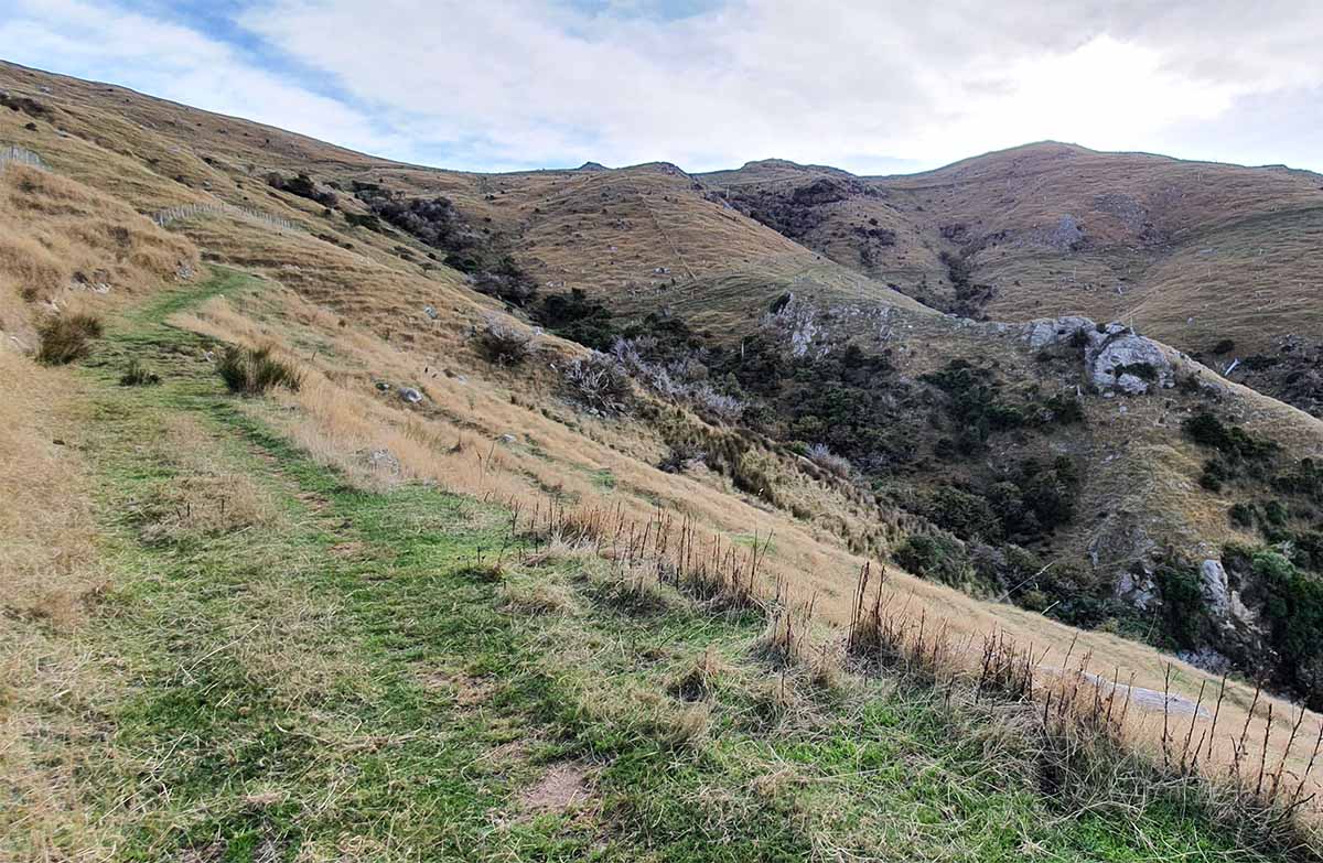
The accompanying photograph is published in DOC's official route gallery with an explicit reuse licence. Its original caption and credit are retained; it does not establish current track conditions.
