By Outdoor Next Editorial standards
On this page
Key facts
- Distance
- 9 km one way
- Walking time
- 6 – 8 hr one way
- Track grade
- Advanced
- Location
- Remarkables Conservation Area
- Dog access
- No dogs. Other pets on conservation land rules.
Checked against official sources on 8 October 2026. Rules and conditions are set by Department of Conservation — confirm with them before you go.
Route overview
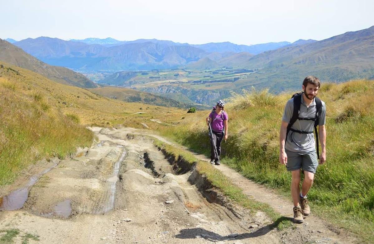
Starting with a steady climb to Mt Rosa, the track crosses the top with great views of the Nevis Bluff, the Kawarau Gorge and the lower Wakatipu Basin.
This DOC directory entry covers Mt Rosa Track in Otago, within Remarkables Conservation Area. Where DOC groups several walks, times and grades refer to the listed options rather than a single continuous itinerary.
Distance, time and grade
- Distance: 9 km one way
- Walking time: 6 – 8 hr one way
- DOC grade: Advanced
Access and alerts
Source checked 2026-10-08. This page is a dated snapshot, not a live track-status report. Check current DOC route information immediately before travelling. An absence of listed alerts does not establish that a route is open.
Dog access
No dogs. Other pets on conservation land rules.
Description
Starting with a steady climb to Mt Rosa, the track crosses the top with great views of the Nevis Bluff, the Kawarau Gorge and the lower Wakatipu Basin. Follow the track past Mt Mason and down to the flats and the carpark.
Doolans Creek’s remnant tōtara forest is accessible from the conservation area.
This track crosses private land.
Getting there
This track can be started or finished from two roads.
Coal Pit Saddle Road carpark, or
carpark on SH6 1 km north west of Victoria Bridge.
Sources and reuse
Route descriptions and practical information reproduced from the Department of Conservation, Crown copyright, under CC BY 4.0, subject to DOC's copyright policy. Formatting has been adapted, including flattening page sections; follow the original DOC page for maps, section-specific layout, current notices and linked documents. Outdoor Next is independent and is not endorsed by DOC.
The accompanying photograph is published in DOC's official route gallery with an explicit reuse licence. Its original caption and credit are retained; it does not establish current track conditions.
