By Outdoor Next Editorial standards
On this page
Key facts
- Distance
- 24 km loop
- Walking time
- 2–3 days
- Track grade
- Intermediate
- Location
- Holdsworth area / Tararua Forest Park
- Seasonal restrictions
- The annual Atiwhakatu Trailblazer mountain biking fun ride is held in January each year. The exact date will be advised closer to the time.
- Dog access
- Dogs allowed. Keep dog under control at all times. Other pets on conservation land rules.
Checked against official sources on 8 October 2026. Rules and conditions are set by Department of Conservation — confirm with them before you go.
Route overview
The classic Mt Holdsworth - Jumbo Circuit is a 2 to 3 day tramp involving a climb through beech-podocarp forest to some of the best alpine tops travel in the Tararua Forest Park.
This DOC directory entry covers Mt Holdsworth - Jumbo Circuit in Wellington, within Holdsworth area / Tararua Forest Park. Where DOC groups several walks, times and grades refer to the listed options rather than a single continuous itinerary.
Distance, time and grade
- Distance: 24 km loop
- Walking time: 2–3 days
- DOC grade: Intermediate
Access and alerts
Source checked 2026-10-08. This page is a dated snapshot, not a live track-status report. Check current DOC route information immediately before travelling. An absence of listed alerts does not establish that a route is open.
Atiwhakatu Track active slip; First published on 23 October 2025. Last reviewed on 4 August 2026.
Predator control for part of Tararua Forest Park; First published on 2 May 2026. Last reviewed on 3 June 2026.
Seasonal restrictions
The annual Atiwhakatu Trailblazer mountain biking fun ride is held in January each year. The exact date will be advised closer to the time.
Dog access
Dogs allowed. Keep dog under control at all times. Other pets on conservation land rules.
Description
The loop track is described walking from Holdsworth road end to Powell Hut, Mt Holdsworth, Jumbo Hut, returning to the road end via the Atiwhakatu track.
Holdsworth Lodge - Powell Hut
Time: 4 hr
Starting from Holdsworth Lodge, carry on along the gravel track, cross the bridge over the Atiwhakatu Stream and follow the Gentle Annie track to Mountain House Shelter. This track is well graded and offers several lookout points to Mounts Holdsworth and Jumbo - for a short side trip follow the signpost to the Rocky Lookout, which offers good views over the Wairarapa. Mountain House Shelter is a pleasant resting spot.
Past Mountain House Shelter the track climbs steeply through dense bush and out onto the open tops. Powell Hut is located on the bush edge.
Powell Hut - Jumbo Hut
Time: 4 hr
Follow the track leading north-east along the main ridge to the Mt Holdsworth trig (1470 m).
Follow the exposed ridge north to Jumbo Peak (1405 m). The track then descends east along a spur to Jumbo Hut.
Caution: Beware of high winds, mist and icy underfoot conditions on all country above the bushline. The open tops are often not marked and difficult to negotiate in misty conditions. Those tramps should only be attempted by experienced trampers.
Jumbo Hut - Holdsworth Lodge
Time: 5–6 hr
The main track to Atiwhakatu Hut is via Raingauge Spur. Descend on the benched track immediately below Jumbo Hut. Once in the bush, follow the track down Raingauge Spur to Atiwhakatu Hut. A rain gauge was once located in a clearing half- way down the ridge.
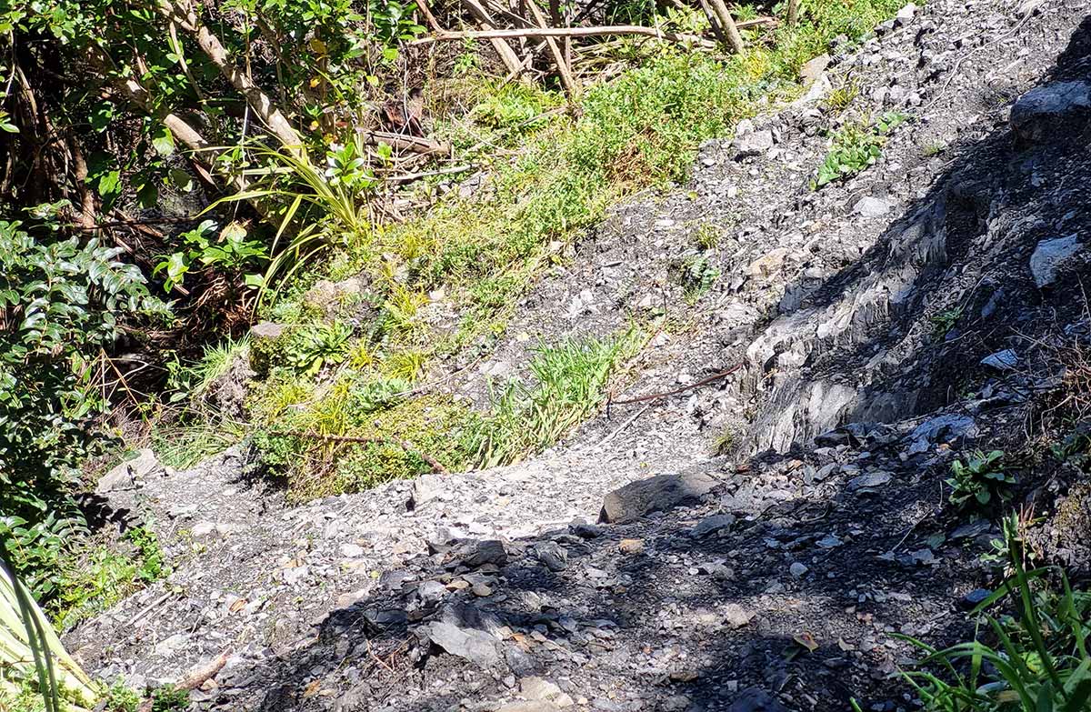
There is a section of re-routed track subsiding on this section of the circuit. Proceed with caution when walking along this slip section.
The track from Jumbo Hut to Atiwhakatu Hut is rougher than the track from the Holdsworth road end to Powell Hut and Atiwhakatu Track. Expect an uneven, steep and muddy track with slippery sections and tree roots. We recommend sturdy footwear with good grip.
From Atiwhakatu Hut, follow the Atiwhakatu track to Holdsworth Lodge.
Mt Holdsworth-Jumbo Circuit virtual guide
Watch a NZ Mountain Safety Council video.
Getting there
Turn off State Highway 2 onto Norfolk Road, 2 km south of Masterton. This is signposted and there is a timber processing plant on the corner. Follow Norfolk Road 15 km to Holdsworth road end.
Daily rail and regular bus services operate between Wellington and Masterton. Taxis, or for large parties prebooked buses, can be hired for travel between Masterton and Holdsworth.
There is a large carpark at the Mount Holdworth Road end, which services the entry to the Tararua Forest Park.
Know before you go
What to expect
The section of track between Powell and Jumbo Huts experiences frequent strong winds, thick mist, freezing temperatures and rain/snow. Be prepared to encounter these conditions at any time of year, even if the weather looks nice in the morning.
The track is generally formed, but you will need to clamber over tree routes and go through rough and muddy sections.
Think carefully about whether to cross the tops and be open to turning back
When the weather turns bad, the route between Powell and Jumbo Huts becomes very challenging and potentially deadly. Thick mist makes navigation difficult and wind, rain and cold can quickly cause hypothermia.
Know your limits
Before leaving Powell/Jumbo Hut to cross the tops, look carefully at the weather and assess whether you have the experience and equipment for the conditions. If in doubt, wait for the weather to improve or turn back and save the alpine section for another day.
This photo was taken on Jumbo near the turnoff to Mt Holdsworth. Image: Tony Graham ©
Plan and prepare for your trip
Powell Hut forecast
When packing, take plenty of warm and waterproof clothing and we recommend an emergency shelter and distress beacon. Pack a map and compass or GPS and know how to use them. Walking poles may help keep you steady.
Full gear list
If you are trail running the track, you still need to be prepared for bad weather.
Nature and conservation
The circuit involves a climb through beech-podocarp forest to some of the best alpine tops travel in the park. The bush tracks are well marked and signposted and streams are bridged. The route on the open tops is marked with blue poles.
Sources and reuse
Route descriptions and practical information reproduced from the Department of Conservation, Crown copyright, under CC BY 4.0, subject to DOC's copyright policy. Formatting has been adapted, including flattening page sections; follow the original DOC page for maps, section-specific layout, current notices and linked documents. Outdoor Next is independent and is not endorsed by DOC.
The accompanying photograph is published in DOC's official route gallery with an explicit reuse licence. Its original caption and credit are retained; it does not establish current track conditions.
