By Outdoor Next Editorial standards
On this page
Key facts
- Distance
- 1 km return via same track
- Walking time
- 30 min return
- Track grade
- Easiest
- Location
- Maunga Kākaramea, Waiotapu and Te Kopia Scenic Reserves
- Dog access
- No dogs. Other pets on conservation land rules.
Checked against official sources on 8 October 2026. Rules and conditions are set by Department of Conservation — confirm with them before you go.
Route overview
Enjoy an easy walk to views over two crater lakes.
This DOC directory entry covers Maunga Kākaramea-Crater Lake Walk in Bay of Plenty, within Maunga Kākaramea, Waiotapu and Te Kopia Scenic Reserves. Where DOC groups several walks, times and grades refer to the listed options rather than a single continuous itinerary.
Distance, time and grade
- Distance: 1 km return via same track
- Walking time: 30 min return
- DOC grade: Easiest
Access and alerts
Source checked 2026-10-08. This page is a dated snapshot, not a live track-status report. Check current DOC route information immediately before travelling. An absence of listed alerts does not establish that a route is open.
- Wallaby control on Maunga Kākaramea and Waiotapu areas; First published on 30 September 2026.
Dog access
No dogs. Other pets on conservation land rules.
Description
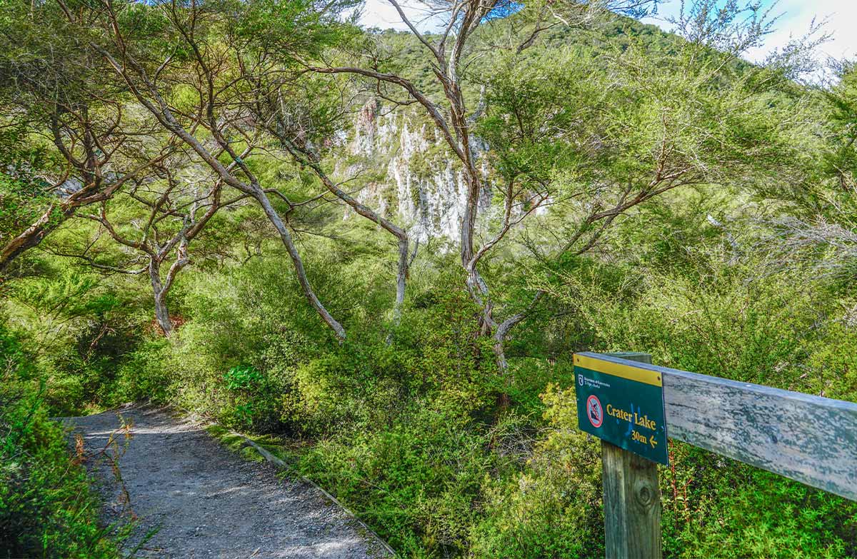
From the carpark, follow the track to the crater lake lookout. From the lookout, there are great views over a crater lake, with brown, orange and red steaming cliffs behind.
The track surface is mainly rock and clay, with tree roots.
Bike access
Bikes are not allowed on the 30 m side track to the crater lake lookout. They are allowed on the rest of the Crater Lake Walk.
Connecting track
Fitter and more experienced trampers can hike the connecting Te Tihi o Ruru Track to the summit. Allow 3 hours return for the summit hike.
Maunga Kākāramea is particularly significant to the local iwi Ngāti Tahu/Ngāti Whaoa. Stay on the formed tracks to respect this place and protect rare geothermal plants.
Getting there
Maunga Kākaramea (previously known as Rainbow Mountain) lies 26 km south-east of Rotorua, beside SH 5 (the Rotorua-Taupo highway). From Rotorua, the carpark is situated just past the SH 38 turnoff (the Murupara/ Waikaremoana highway), on the left-hand side of the road.
View the car park on google maps.
Know before you go
Shared use track
- Track shared with walkers and mountain bikers.
Geothermal landscape
Fragile and dangerous geothermal landscape.
Stay on the track and behind barriers.
Supervise children.
Nature and conservation
Maunga Kākaramea is home to rare geothermal plants.
Plants growing here have needed to adapt to the high temperatures, acidic soil and toxic gases. They have developed special characteristics to survive, like shallow roots, needle-like leaves and slow growth. Some mosses, liverworts and lichens can live in temperatures as hot as 70°C.
The geothermal activity on Maunga Kākaramea has cooled over the last 100 years. This has reduced the soil temperature and so means the forests are coming back.
Maunga Kākaramea means ‘mountain of coloured earth'. You can see these colours in the cliffs.
Sources and reuse
Route descriptions and practical information reproduced from the Department of Conservation, Crown copyright, under CC BY 4.0, subject to DOC's copyright policy. Formatting has been adapted, including flattening page sections; follow the original DOC page for maps, section-specific layout, current notices and linked documents. Outdoor Next is independent and is not endorsed by DOC.
The accompanying photograph is published in DOC's official route gallery with an explicit reuse licence. Its original caption and credit are retained; it does not establish current track conditions.
