About this trail
Explore the forest on this loop track close to Ohakune.
- Track grade
- Easiest
- Location
- Tongariro National Park
- Dog access
- No dogs. Other pets on conservation land rules.
Route overview
Explore the forest on this loop track close to Ohakune.
This DOC directory entry covers Mangawhero Forest Walk in Central North Island, within Tongariro National Park. Where DOC groups several walks, times and grades refer to the listed options rather than a single continuous itinerary.
Description
The track starts at the same entrance as the Rimu Walk.
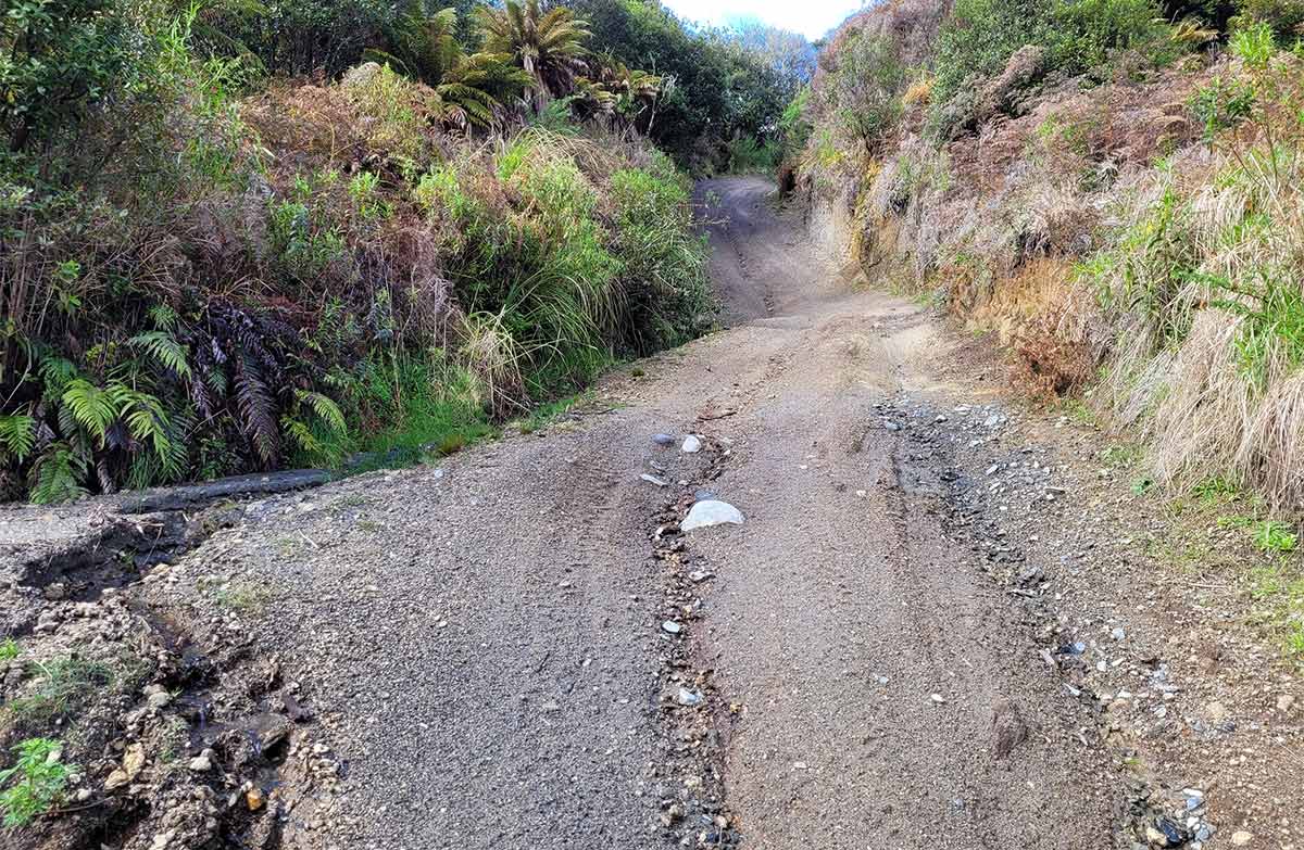
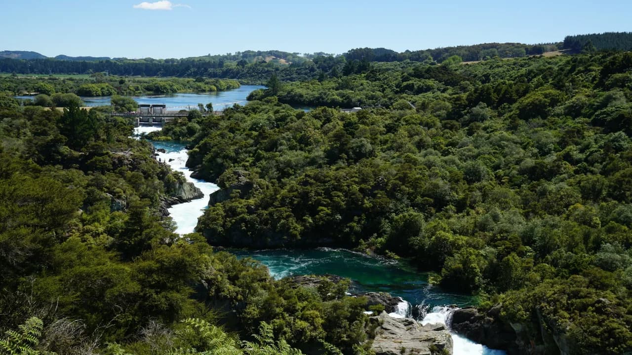
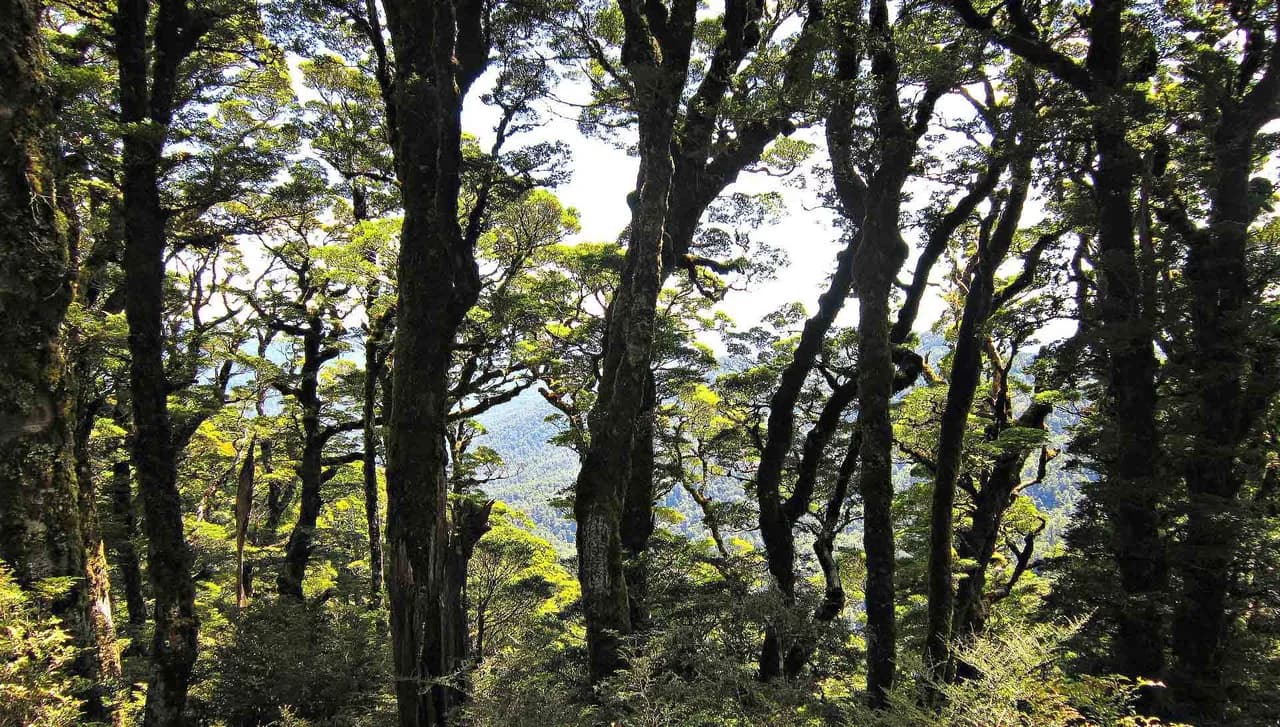
After crossing the Mangawhero River, the track leads into a forest of kāmahi, broadleaf and five finger, with giant rimu, mataī and kahikatea reaching 30 metres or more above the forest floor. Immediately after passing through a cut log the track crosses a large volcanic crater.
At its highest point, the track crosses Ohakune Mountain Road. The track then descends down a gentle grandient back to the Ohakune DOC office.
Before you go
Department of Conservation. Source check: 8 October 2026. Not a live access report.
Access and alerts
Source checked 2026-10-08. This page is a dated snapshot, not a live track-status report. Check current DOC route information immediately before travelling. An absence of listed alerts does not establish that a route is open.
Know before you go
Toilets are located at the carpark at the start of the track.
Take all rubbish home with you.
Dogs and drones are not allowed.
Bikes are not allowed.
No drones
Flying a drone without a permit is strictly prohibited.
Drone use on conservation land
Getting there
Dog access
No dogs. Other pets on conservation land rules.
Getting there
The walk starts opposite the Ohakune DOC office at the bottom of the Ohakune Mountain Road.
Follow signage for Turoa ski field for 2 km from Ohakune township. The carpark is located on the left before Ohakune Mountain Road continues into the forest.
Trail guide
Distance, time and grade
- Distance: 3.4 km loop
- Walking time: 1 hr 5 min loop
- DOC grade: Easiest
Sources & editorial notes
By Outdoor Next. Editorial standards. Information checked 8 October 2026.
- Mangawhero Forest Walk: official route informationDepartment of Conservation
- DOC walking and tramping directoryDepartment of Conservation
Route descriptions and practical information reproduced from the Department of Conservation, Crown copyright, under CC BY 4.0, subject to DOC's copyright policy. Formatting has been adapted, including flattening page sections; follow the original DOC page for maps, section-specific layout, current notices and linked documents. Outdoor Next is independent and is not endorsed by DOC.
Place photographs retain their individual source, caption and reuse licence in the photo credits. Captions distinguish route features from surrounding-area context; photographs do not establish current track conditions.