By Outdoor Next Editorial standards
On this page
Location & access
DOC track reference point, not a verified trailhead, entrance or the whole route. Check the official route directions before travel.
Official location informationLocation source
DOC track reference point, not a verified trailhead, entrance or the whole route.
Reference point: -38.26108, 174.89962. WGS84 coordinates retained at the official service's returned precision; decimal resolution is not survey accuracy. Source positional accuracy is not specified.
DOC Maps walking and tramping reference point (WGS84), exact official-page GUID / Department of Conservation. Checked 2026-10-12.
Key facts
- Distance
- 700 m return via same track
- Walking time
- 20 min (DOC panel; no direction qualifier)
- Track grade
- Easy short walk
Checked against official sources on 1 October 2026. Rules and conditions are set by Department of Conservation — confirm with them before you go.
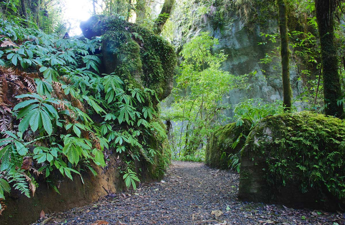
A limestone-gorge walk beneath a natural arch on Te Anga Road, using the reserve return rather than an assumed circuit through neighbouring farmland.
Use the reserve return
Start from Te Anga Road between Waitomo and Marokopa and follow the marked reserve track into the limestone gorge. The current DOC panel describes a same-way return. It also explicitly rules out public access into the neighbouring farm, so do not use older circuit descriptions to plan a continuation across private land. Make the gorge and arch your destination, then retrace the approach without seeking another exit beyond the reserve boundary.
Separate the boardwalk from the steps
The approach follows a boardwalk beside the stream before the track becomes stepped under the natural bridge. DOC calls the approach pushchair-friendly, but that wording should not be extended to every part of the walk. Decide in advance how your group will handle the stepped section. The arch and the ceiling formations are best considered from the defined walking route; looking upwards is a reason to stop, not to keep moving on steps.
Plan each roadside walk on its own
Piripiri Cave and Marokopa Falls are suggested companion stops on the same scenic drive, not extensions included in this track's distance. Check their notices and equipment needs separately before combining them into a day. Bring weather protection and allow time for looking around rather than using the walking estimate as the entire stop. Leave dogs behind, respect any barriers and check DOC's current instructions before returning to an older route saved on your phone.
Read the official track description and notices immediately before travelling. The source-check date is not a live access or safety report.
More photographs

Illustrative photograph. A backpack carried outdoors; location unverified. This is not a retailer or current-stock photograph. Not a verified photograph of the place or itinerary in this guide.
Photo: Cody Black / Unsplash License / Details
