By Outdoor Next Editorial standards
On this page
Location & access
DOC track reference point, not a verified trailhead, entrance or the whole route. Check the official route directions before travel.
Official location informationLocation source
DOC track reference point, not a verified trailhead, entrance or the whole route.
Reference point: -38.74587, 176.68947. WGS84 coordinates retained at the official service's returned precision; decimal resolution is not survey accuracy. Source positional accuracy is not specified.
DOC Maps walking and tramping reference point (WGS84), exact official-page GUID / Department of Conservation. Checked 2026-10-12.
Key facts
- Distance
- 34.3 km loop
- Walking time
- 3 days
- Track grade
- Intermediate; Advanced
- Location
- Whirinaki Te Pua-a-Tāne Conservation Park
- Dog access
- Dogs with a DOC permit only. Contact closest DOC office to get a permit. Other pets on conservation land rules.
Checked against official sources on 8 October 2026. Rules and conditions are set by Department of Conservation — confirm with them before you go.
Route overview
The loop covers a range of track types including multiple river crossing. This makes it an ideal introduction to backcountry tramping.
This DOC directory entry covers Mangamate Loop Track in Gisborne, within Whirinaki Te Pua-a-Tāne Conservation Park. Where DOC groups several walks, times and grades refer to the listed options rather than a single continuous itinerary.
Distance, time and grade
- Distance: 34.3 km loop
- Walking time: 3 days
- DOC grade: Intermediate; Advanced
Access and alerts
Source checked 2026-10-08. This page is a dated snapshot, not a live track-status report. Check current DOC route information immediately before travelling. An absence of listed alerts does not establish that a route is open.
Dog access
Dogs with a DOC permit only. Contact closest DOC office to get a permit. Other pets on conservation land rules.
Description
Elevation profile of the Mangamate Loop track – view larger in Whirinaki walks brochure
Day one is on a well-formed track of a high standard. However, the next two days transition onto unformed tracks where you will be constantly crossing the Mangamate Stream. River-crossing skills are required.
The track starts and ends along the Whirinaki Waterfall Loop.
Day 1: River Rd car park to Central Whirinaki Hut
Time: 5 hrDistance: 16 km
Begin at the River Rd carpark. After crossing Te Whaiti-Nui-a-Toi Canyon bridge, keep the Whirinaki River on your right side and head south. After 1 hr (3.5 km), cross the Mangamate Bridge (you’ll end up back here on day 3).
Carry on past the Whirinaki Waterfall and up to Vern’s Campsite. With a shelter and toilet, this is a good place to stop for lunch. From Vern’s it's another 8 km to the first overnight stay at Central Whirinaki Hut.
Day 2: Central Whirinaki Hut to Mangamate Hut
Time: 4 hr 30 minDistance: 8.2 km
From Central Whirinaki Hut carry on along the Whirinaki River for 45 min (2 km), till you reach Taumutu bridge. The track branches left onto the Taumutu Stream and after around 1 km branches left again onto the Kakanui Stream. From here the route is almost entirely in the stream. After about 1 hr 30 min, the track climbs sharply to Mangamate Hut, which is located high on a ridge.
Day 3: Mangamate Hut to River Rd carpark
Time: 4 hr Distance: 10.1 km
The track travels steeply down from the hut where it now enters the Upper Mangamate Stream. From the hut it's 3 hr (6.6 km) down-stream to the Mangamate bridge. The track is in and out of the stream – expect 60+ stream crossings. At the Mangamate bridge the loop closes. With the Whirinaki River on your left, follow the track back to River Road car park.
Getting there
The track is 90 km south of Rotorua
Turn off SH5 onto SH38 near Maunga Kākaramea.
At Te Whaiti, turn into Minginui Road, then into Old Te Whaiti Road (gravel) at Minginui Village.
Take first left into River Road and follow the signs. It's around 10 min to River Road carpark.
Know before you go
NZTopo50 map sheet: BG38 (Wairapukao)
River crossings: There are multiple streams crossings on this track. Streams can become unsafe in high rainfall. If you are unsure about crossing, return to the hut until the stream can be negotiated safely.
Track condition
This site may be damaged with slips, flooding or fallen trees from severe weather. Be prepared to turn back if needed.
Sources and reuse
Route descriptions and practical information reproduced from the Department of Conservation, Crown copyright, under CC BY 4.0, subject to DOC's copyright policy. Formatting has been adapted, including flattening page sections; follow the original DOC page for maps, section-specific layout, current notices and linked documents. Outdoor Next is independent and is not endorsed by DOC.
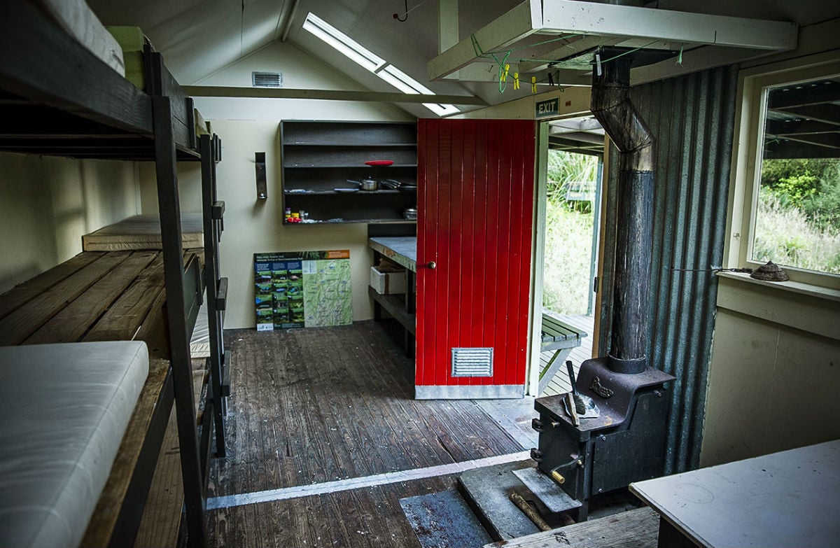
The accompanying photograph is published in DOC's official route gallery with an explicit reuse licence. Its original caption and credit are retained; it does not establish current track conditions.
