By Outdoor Next Editorial standards
On this page
Location & access
DOC track reference point, not a verified trailhead, entrance or the whole route. Check the official route directions before travel.
Official location informationLocation source
DOC track reference point, not a verified trailhead, entrance or the whole route.
Reference point: -43.71992, 170.09393. WGS84 coordinates retained at the official service's returned precision; decimal resolution is not survey accuracy. Source positional accuracy is not specified.
DOC Maps walking and tramping reference point (WGS84), exact official-page GUID / Department of Conservation. Checked 2026-10-12.
Key facts
- Distance
- Not confirmed on the checked DOC page; see individual route sections
- Walking time
- 2 hr return from village or 1 hr return from campground
- Track grade
- Easy
- Location
- Aoraki/Mount Cook National Park
- Dog access
- No dogs. Other pets on conservation land rules.
Checked against official sources on 8 October 2026. Rules and conditions are set by Department of Conservation — confirm with them before you go.
Route overview
Walk to a viewing deck with stunning views of the surrounding area.
This DOC directory entry covers Kea Point Track in Canterbury, within Aoraki/Mount Cook National Park. Where DOC groups several walks, times and grades refer to the listed options rather than a single continuous itinerary.
Distance, time and grade
- Distance: Not confirmed on the checked DOC page; see individual route sections
- Walking time: 2 hr return from village or 1 hr return from campground
- DOC grade: Easy
Access and alerts
Source checked 2026-10-08. This page is a dated snapshot, not a live track-status report. Check current DOC route information immediately before travelling. An absence of listed alerts does not establish that a route is open.
Dog access
No dogs. Other pets on conservation land rules.
Description
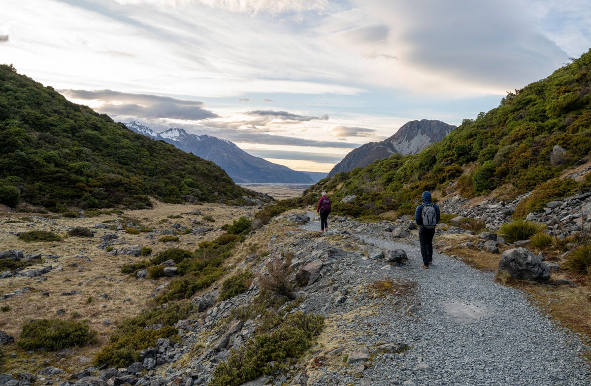
This walk gently winds its way through subalpine grasslands and scrub to the Mueller Glacier moraine wall.
The track passes through a landscape that was formed in 1913 when a stream cut through from the glacier to the original Hermitage site, damaging the building.
The walk ends at a viewing deck that gives stunning views of Mount Sefton, The Footstool, Hooker valley, Mueller Glacier lake and Aoraki/Mount Cook.
There is a height gain of 180 m over 3 km.
Getting there
The walk is in Aoraki/Mount Cook village. For a longer walk, start from Terrace Road near the Aoraki/Mount Cook Visitor Centre; for a shorter wark, start from White Horse Hill Campground at the end of Hooker Valley Road.
Car parking fees
The track to Mueller Hut starts near the White Horse Hill car park. DOC charges fees for car parking at White Horse Hill.
The fees are $2.50 per half hour or $25 a day. If you arrive and leave within 20 minutes, parking is free. If you plan to stay for longer than 20 minutes you must pay on arrival.
Payment machines that accept debit and credit cards are highly visible at each site. Cash payments are not accepted.
Locals and other car park users can purchase an annual permit. Permits cannot be purchased at the payment machines and need to be purchased online.
Note: If you arrive one day and leave the next you will pay car parking fees for two days ($50). If you plan to stay for multiple days ($50 or more) it may be more affordable for you to purchase an annual permit.
How to pay fees or buy an annual permit.
Know before you go
No drones
Flying a drone without a permit is strictly prohibited.
Drone use on conservation land
Sources and reuse
Route descriptions and practical information reproduced from the Department of Conservation, Crown copyright, under CC BY 4.0, subject to DOC's copyright policy. Formatting has been adapted, including flattening page sections; follow the original DOC page for maps, section-specific layout, current notices and linked documents. Outdoor Next is independent and is not endorsed by DOC.
The accompanying photograph is published in DOC's official route gallery with an explicit reuse licence. Its original caption and credit are retained; it does not establish current track conditions.
