By Outdoor Next Editorial standards
On this page
Location & access
DOC track reference point, not a verified trailhead, entrance or the whole route. Check the official route directions before travel.
Official location informationLocation source
DOC track reference point, not a verified trailhead, entrance or the whole route.
Reference point: -42.95670, 171.01680. WGS84 coordinates retained at the official service's returned precision; decimal resolution is not survey accuracy. Source positional accuracy is not specified.
DOC Maps walking and tramping reference point (WGS84), exact official-page GUID / Department of Conservation. Checked 2026-10-12.
Key facts
- Distance
- 1.6 km loop
- Walking time
- 1 hr 30 min loop
- Track grade
- Easy to intermediate walking track
Checked against official sources on 26 September 2026. Rules and conditions are set by Department of Conservation — confirm with them before you go.
The full rainforest-and-bridge loop at Hokitika Gorge, distinct from the shorter accessible first-viewpoint option.
Choose the complete gorge loop
Hokitika Gorge combines rainforest, viewing areas and two bridge crossings in a compact circuit. This entry represents the full loop, not just the short approach to the first platform. Decide which experience suits the group before leaving the parking area. There is value in a shorter visit too, but it should be a deliberate choice rather than confusion about the route's endpoint.
Keep the water as a view
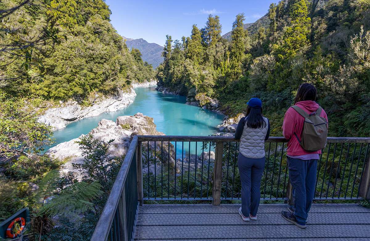
The river's colour is part of the attraction, but DOC warns that the current and cold water are dangerous in all conditions. The rocks beside it are not an extension of the walking path. Keep children close and pause for photographs from the intended viewing spaces. A clear-looking river is no more an invitation to enter than a discoloured one after rain.
Match the access option to the person
DOC identifies wheelchair access to the first viewing platform only. Do not apply that description to the whole loop or to the river-edge steps. Discuss the desired turnaround before the group separates. Where specific mobility needs matter, check current access details directly rather than relying on the broad difficulty filter or assuming every part of a popular attraction has the same surface.
Allow a weather-independent reward
Rain can change the famous blue appearance of the water, so plan to enjoy the forest and gorge rather than a guaranteed photograph. Bring drinks, leave room for other visitors at viewpoints and build the driving time into your day. Recheck track notices before departing. A slower circuit with time to observe the canopy can be more satisfying than waiting for a particular colour to appear.
Read the official track description and notices immediately before travelling. The source-check date is not a live access or safety report.
More photographs

Illustrative photograph. A backpack carried outdoors; location unverified. This is not a retailer or current-stock photograph. Not a verified photograph of the place or itinerary in this guide.
Photo: Cody Black / Unsplash License / Details