By Outdoor Next Editorial standards
On this page
Location & access
DOC track reference point, not a verified trailhead, entrance or the whole route. Check the official route directions before travel.
Official location informationLocation source
DOC track reference point, not a verified trailhead, entrance or the whole route.
Reference point: -42.93383, 171.56358. WGS84 coordinates retained at the official service's returned precision; decimal resolution is not survey accuracy. Source positional accuracy is not specified.
DOC Maps walking and tramping reference point (WGS84), exact official-page GUID / Department of Conservation. Checked 2026-10-12.
Key facts
- Distance
- 2 km return via same track
- Walking time
- 1 hr return
- Track grade
- Easy to intermediate walking track
Checked against official sources on 26 September 2026. Rules and conditions are set by Department of Conservation — confirm with them before you go.
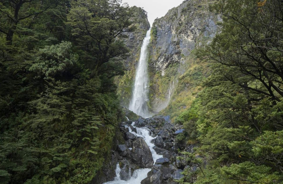
A stepped forest return to the waterfall viewing platform at Arthur's Pass, with a rain-sensitive creek crossing.
Climb into the waterfall valley
Devils Punchbowl begins at the northern end of Arthur's Pass Village and climbs through beech forest to a viewing platform near the waterfall. It is a compact outing with a clear destination, useful when the group wants a waterfall visit rather than a high mountain day. The climb remains a real part of the experience, not just a path from a roadside viewpoint.
Expect stairs in both directions
DOC identifies more than four hundred steps. Consider the return descent as carefully as the uphill effort when deciding whether the walk suits everyone. Start at a pace that leaves room for breaks, keep the party together and avoid making the platform a race. A short headline distance can still be tiring for someone uncomfortable on repeated stairs or uneven footing.
Check the creek and the highway
Wardens Creek is unbridged and can flood in heavy rain, while snow may interrupt SH73 access to the village. Review both the walking conditions and the road journey before departure. Strong waterfall flow is not, by itself, a reason to continue past a doubtful crossing. Allow the weather to change the choice of activity rather than only the clothing you put on.
Give the visit its own time
If this stop sits between longer drives, include parking, getting dressed and the return walk in the day's schedule. Carry the essentials instead of leaving them in the vehicle because the waterfall sounds close. Leave room for a quiet pause at the viewing area and for other walkers to pass. The best visit is one that finishes without needing to hurry the descent.
Read the official track description and notices immediately before travelling. The source-check date is not a live access or safety report.
More photographs

Illustrative photograph. A backpack carried outdoors; location unverified. This is not a retailer or current-stock photograph. Not a verified photograph of the place or itinerary in this guide.
Photo: Cody Black / Unsplash License / Details
