About this trail
A pleasant climb up an old musterers' track above an upland river gorge.
- Track grade
- Advanced
- Location
- Hāwea Conservation Park
Route overview
A pleasant climb up an old musterers' track above an upland river gorge.
This DOC directory entry covers Boundary Creek Track in Otago, within Hāwea Conservation Park. Where DOC groups several walks, times and grades refer to the listed options rather than a single continuous itinerary.
Description
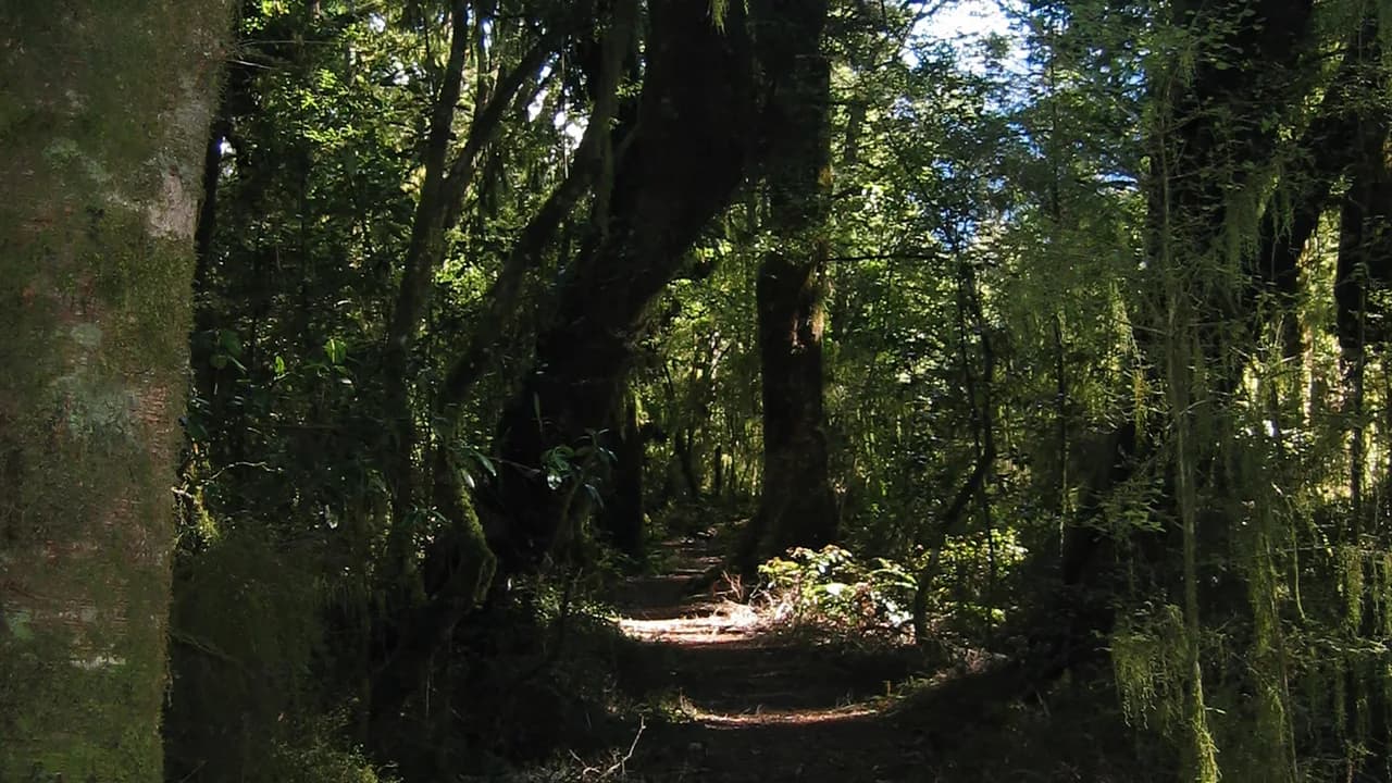
This track climbs up an old musterer’s trail above an upland river gorge to reach open flats. Before the open flats the farm track becomes narrow and over grown with limited or non-existent track marking, making this trip more suited for experienced trampers with good navigational skills.
The flats are not marked, and travel involves crossing creeks and wetlands. At the head of the flats, a silver beech forest by the forks provides an ideal campsite for overnight visitors.
Before you go
Department of Conservation. Source check: 8 October 2026. Not a live access report.
Access and alerts
Source checked 2026-10-08. This page is a dated snapshot, not a live track-status report. Check current DOC route information immediately before travelling. An absence of listed alerts does not establish that a route is open.
Know before you go
Private property and permissions
This track crosses private land. There is no camping until the conservation area boundary.
Respect the landowner's livestock and property:
Stay on the marked track until you reach the conservation land
Leave gates as you find them
Use stiles where provided
Keep your distance from livestock.
Dogs
You need permission from the Makarora River Ranch to take your dog into Hāwea Conservation Park using Boundary Creek Track. Email makaroraranch@gmail.com at least 24 hours in advance of your visit to request permission. You must provide a valid worming certificate to ensure your dog is free from hydatids and sheep measles.
Bad weather
The weather can change rapidly in New Zealand. Hypothermia is a real risk even in summer. Be prepared by having warm, waterproof, windproof clothing and the appropriate footwear. Whiteout conditions caused by snow or low cloud may be present. Check the Mount Aspiring National Park weather forecast – NIWA website.
Avalanche risk
This area has terrain that can produce avalanches that cross the track, usually from May into November. View avalanche information.
Getting there
Getting there
Boundary Creek Track is the access track to the McKerrow Range by way of Boundary Creek. It starts opposite the Boundary Creek campsite on SH6.
Trail guide
Distance, time and grade
- Distance: 12 km return via same track
- Walking time: 6 – 8 hr return
- DOC grade: Advanced
Sources & editorial notes
By Outdoor Next. Editorial standards. Information checked 8 October 2026.
- Boundary Creek Track: official route informationDepartment of Conservation
- DOC walking and tramping directoryDepartment of Conservation
Route descriptions and practical information reproduced from the Department of Conservation, Crown copyright, under CC BY 4.0, subject to DOC's copyright policy. Formatting has been adapted, including flattening page sections; follow the original DOC page for maps, section-specific layout, current notices and linked documents. Outdoor Next is independent and is not endorsed by DOC.
Place photographs retain their individual source, caption and reuse licence in the photo credits. Captions distinguish route features from surrounding-area context; photographs do not establish current track conditions.