By Outdoor Next Editorial standards
On this page
Location & access
DOC track reference point, not a verified trailhead, entrance or the whole route. Check the official route directions before travel.
Official location informationLocation source
DOC track reference point, not a verified trailhead, entrance or the whole route.
Reference point: -42.91685, 171.55796. WGS84 coordinates retained at the official service's returned precision; decimal resolution is not survey accuracy. Source positional accuracy is not specified.
DOC Maps walking and tramping reference point (WGS84), exact official-page GUID / Department of Conservation. Checked 2026-10-12.
Key facts
- Distance
- 6.8 km return via same track
- Walking time
- 2 h 40 min
- Track grade
- Easy
- Location
- Arthur's Pass National Park
- Dog access
- No dogs. Other pets on conservation land rules.
Checked against official sources on 8 October 2026. Rules and conditions are set by Department of Conservation — confirm with them before you go.
Route overview
Experience the best of Arthur’s Pass's diverse alpine vegetation, waterfalls, wetlands, rich history and stunning mountain views on this walk.
This DOC directory entry covers **Arthur’s Pass Walking Track ** in Canterbury, within Arthur's Pass National Park. Where DOC groups several walks, times and grades refer to the listed options rather than a single continuous itinerary.
Distance, time and grade
- Distance: 6.8 km return via same track
- Walking time: 2 h 40 min
- DOC grade: Easy
Access and alerts
Source checked 2026-10-08. This page is a dated snapshot, not a live track-status report. Check current DOC route information immediately before travelling. An absence of listed alerts does not establish that a route is open.
- Arthur's Pass Walking Track bridge damage; First published on 13 January 2026. Last reviewed on 5 September 2026.
Dog access
No dogs. Other pets on conservation land rules.
Description
This walk provides the chance to walk from Arthur’s Pass village to view the Dobson Memorial at Arthur’s Pass summit.
The track gradient is generally gentle, with some steep steps either side of Bridal Veil Creek.
Start at the Punchbowl, Bealey Chasm (Jacks Hut) or Temple Basin car parks to walk all or part of the track and return the same way.
From Punchbowl car park it’s a 20 minute walk to the Bridal Veil Falls lookout through subalpine mountain beech forest and Dracophyllum to a small clearing with a picnic table, good views of the falls, surrounding peaks and Arthur’s Pass village. Note the intense red leaves of the Dr Seuss-like Dracophyllum in spring/summer.
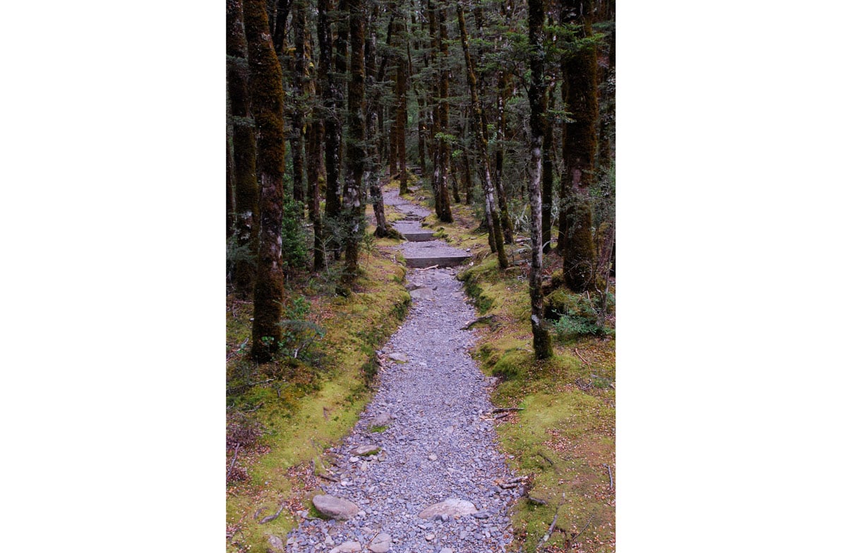
After crossing Bridal Veil Creek, the track travels through alpine shrublands and wetlands before reaching Jacks Hut – a restored roadman’s cottage.
At Jacks Hut cross SH73 to Bealey Chasm car park and follow the track through old-growth mountain beech – a good place for bird watching.
At the intersection with the Dobson Nature Walk turn right to cross the road again to the Temple Basin car park or turn left to follow the Dobson Nature Walk to the Arthur’s Pass lookout on the summit of the Pass.
From here look across the road at the Dobson Memorial – commemorating Arthur Dudley Dobson, the surveyor who gave the modern name to Arthur’s Pass. This is the highest point on the road before it drops to the West Coast.
Return on the same track. The main highway is unsafe to walk on and should not be used.
Know before you go
Be safe and beware - this is mountain country
Take warm clothing and raincoat, sunhat and sunscreen, something to eat and drink and strong footwear.
Mountain weather can change quickly. Check the Arthurs Pass National Park weather forecast - NIWA website.
Walking on tracks and routes above the bushline (the upper edge of the forest) is recommended only in good weather conditions.
Sources and reuse
Route descriptions and practical information reproduced from the Department of Conservation, Crown copyright, under CC BY 4.0, subject to DOC's copyright policy. Formatting has been adapted, including flattening page sections; follow the original DOC page for maps, section-specific layout, current notices and linked documents. Outdoor Next is independent and is not endorsed by DOC.
The accompanying photograph is published in DOC's official route gallery with an explicit reuse licence. Its original caption and credit are retained; it does not establish current track conditions.
