Skip to content

New Zealand walking tracks

Coastal walks, lakeside trails and mountain hikes.

About nearby results

Your location stays in this page's memory. It is not stored, added to links or sent to a server. Leaving or reloading clears it. Distances are straight-line estimates to reference points, not driving distances, track lengths or verified entrances. Not a navigation tool. 4 of 53 tracks in this collection have source-checked reference points. The others have no nearby distance.

10 walking tracks / name, A to Z

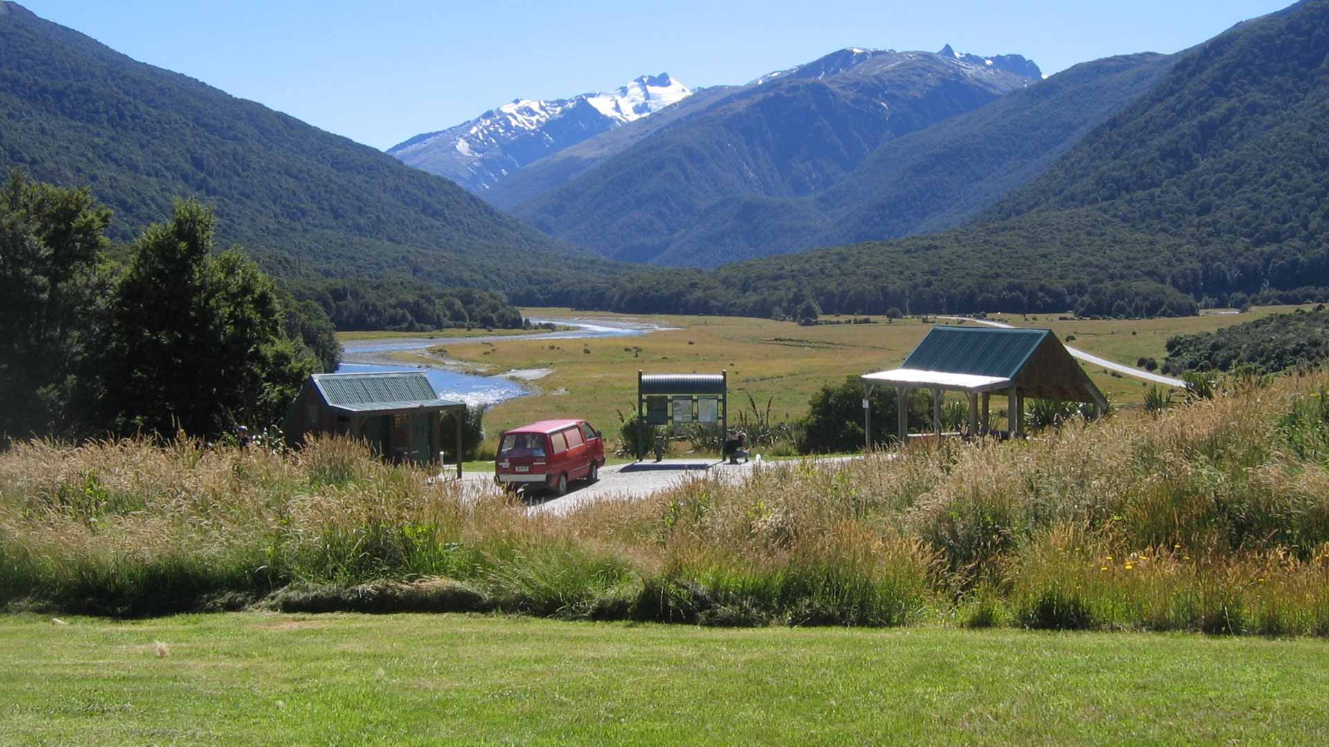
  • Grassy ground, a shelter, information board and red van at Cameron Flat, with a river and mountains behind.
    Illustrative photograph / Photo: Department of Conservation (NZ) / CC BY 4.0 / Details

    Otago Walking track

    Blue Pools Track

    Department of Conservation

    Distance
    3.2 km return via same track
    Walking time
    1 hr 30 min return
    Track grade
    Easy short walk

    Location reference not verified. Nearby distance unavailable.

    Article checked 2026-09-26. Confirm current access with the track manager.

    Route notes & sources
    • A full return through beech forest to the Blue Pools bridges near Makarora, using DOC's updated distance and time.
    • No jumping from the swing bridges. Rivers can conceal serious hazards; a clear pool is not a safety assessment.
    • The predator-control notice retrieved 26 September 2026 reports a 2 March 2026 operation and continuing warnings about possible toxic bait or carcasses. Do not touch them and obey posted signs.
    • Checked 26 September 2026. Recheck DOC notices and conditions before travel; this is not a live opening report.
  • A walker seen from behind carrying a grey and orange backpack, with hills in the background.
    Illustrative photograph / Photo: Cody Black / Unsplash License / Details

    Gisborne Walking track

    Gray's Bush Scenic Reserve walks

    Department of Conservation

    Distance
    Not confirmed; check the manager's route description.
    Walking time
    15 min - 1 hr; accessible loop 15-20 min, full circuit 40-60 min
    Track grade
    Wheelchair accessible short walk (shorter loop)

    Location reference not verified. Nearby distance unavailable.

    Article checked 2026-09-26. Confirm current access with the track manager.

    Route notes & sources
    • A compact Gisborne forest outing with linked circuits and a separately identified wheelchair-accessible short loop.
    • Checked 2026-09-26, not a live opening guarantee. Recheck the manager's notices and signs before departure.
    • Wheelchair access is explicitly described for the shorter loop, not every linked path. No dogs; check current surface conditions before an access-dependent visit.
  • A walker seen from behind carrying a grey and orange backpack, with hills in the background.
    Illustrative photograph / Photo: Cody Black / Unsplash License / Details

    Taranaki Walking track

    Kamahi Loop Track

    Department of Conservation

    Distance
    Not confirmed; check the manager's route description.
    Walking time
    15-30 min return
    Track grade
    Easy short walk

    Location reference not verified. Nearby distance unavailable.

    Article checked 2026-09-26. Confirm current access with the track manager.

    Route notes & sources
    • A brief East Egmont rainforest circuit near Stratford Mountain House, crossing streams on bridges with steps and wet footing.
    • Checked 2026-09-26, not a live opening guarantee. Recheck the manager's notices and signs before departure.
    • Steps and wet patches occur despite the short-walk grade. Mountain weather and road conditions still need checking; no dogs.
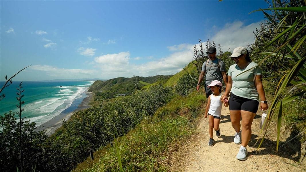
  • Walkers on Mangawhai Cliffs Walkway above a long beach and breaking surf.
    Illustrative photograph / Photo: Fraser Rudman / Department of Conservation / CC BY 4.0 / Details

    Wellington Walking track

    Lighthouse Walk (Castlepoint)

    Department of Conservation

    Distance
    Not confirmed; check the manager's route description.
    Walking time
    30 min return
    Track grade
    Easy short walk

    Location reference not verified. Nearby distance unavailable.

    Article checked 2026-09-26. Confirm current access with the track manager.

    Route notes & sources
    • A short marked approach to Castlepoint Lighthouse and coastal lookouts, with serious wave and cliff hazards beyond the safe walking line.
    • Checked 2026-09-26, not a live opening guarantee. Recheck the manager's notices and signs before departure.
    • Avoid the reef and cliff edges: unpredictable waves have caused fatalities. Supervise children and keep away from seals.
  • A walker seen from behind carrying a grey and orange backpack, with hills in the background.
    Illustrative photograph / Photo: Cody Black / Unsplash License / Details

    Otago Walking track

    Nugget Point/Tokata Walk

    Department of Conservation

    Distance
    Not confirmed; check the manager's route description.
    Walking time
    10 – 20 min return
    Track grade
    Wheelchair accessible short walk

    Location reference not verified. Nearby distance unavailable.

    Article checked 2026-09-26. Confirm current access with the track manager.

    Route notes & sources
    • The short return from the upper car park to Tokata Lighthouse's viewing platform on the Catlins coast.
    • This entry is the lighthouse walk from the upper Kaimataitai car park, not the separate Roaring Bay penguin-hide walk. Observe wildlife from the visitor route without approaching nesting or resting animals.
    • DOC's accessibility category is retained, but confirm current surface and access details for individual mobility requirements.
    • Checked 26 September 2026. Recheck DOC notices and conditions before travel; this is not a live opening report.
  • A walker seen from behind carrying a grey and orange backpack, with hills in the background.
    Illustrative photograph / Photo: Cody Black / Unsplash License / Details

    Bay of Plenty Walking track

    Ōkere Falls Track

    Department of Conservation

    Distance
    1.2 km (DOC does not specify one way or return)
    Walking time
    30 min one way
    Track grade
    Easy short walk

    Location reference not verified. Nearby distance unavailable.

    Article checked 2026-09-26. Confirm current access with the track manager.

    Route notes & sources
    • A short river-and-waterfall walk near Rotorua, with the Tutea Falls viewing platform excluded while its closure remains in force.
    • Checked 2026-09-26, not a live opening guarantee. Recheck the manager's notices and signs before departure.
    • Tutea Falls lookout platform is closed. Follow barriers; this listing does not promise access to every viewpoint.
    • Dangerously strong currents and waterfalls: remain on the walking track. No dogs.
  • A walker seen from behind carrying a grey and orange backpack, with hills in the background.
    Illustrative photograph / Photo: Cody Black / Unsplash License / Details

    Waikato Walking track

    Ruakuri Walk

    Department of Conservation

    Distance
    1 km loop
    Walking time
    45 min
    Track grade
    Easy short walk

    Location reference not verified. Nearby distance unavailable.

    Article checked 2026-09-26. Confirm current access with the track manager.

    Route notes & sources
    • A short Waitomo limestone circuit with a natural-bridge viewing platform, forest steps and careful footing around cave terrain.
    • Checked 2026-09-26, not a live opening guarantee. Recheck the manager's notices and signs before departure.
    • Steep steps, low cave ceilings, tomos and fast water make staying on the path essential. Good mobility is needed; no dogs or mountain bikes.
  • A walker seen from behind carrying a grey and orange backpack, with hills in the background.
    Illustrative photograph / Photo: Cody Black / Unsplash License / Details

    West Coast Walking track

    Truman Track

    Department of Conservation

    Distance
    1.4 km return via same track
    Walking time
    30 min return
    Track grade
    Easy short walk

    Location reference not verified. Nearby distance unavailable.

    Article checked 2026-09-26. Confirm current access with the track manager.

    Route notes & sources
    • A short rainforest descent to coastal viewing platforms near Punakaiki, with serious surf and cliff hazards beyond the walk.
    • The walk ends at the lower viewing platform. DOC says descend there only in calm conditions: rough seas can wash over it. Beach access is unsafe at high tide or in rough seas; the far cove can be cut off and sudden waves remain possible even at low tide.
    • Do not swim or linger below unstable cliffs and overhangs. The car park is across SH6 from the entrance in a 100 km/h zone; cross carefully.
    • Checked 26 September 2026. Recheck DOC notices and conditions before travel; this is not a live opening report.
  • A walker seen from behind carrying a grey and orange backpack, with hills in the background.
    Illustrative photograph / Photo: Cody Black / Unsplash License / Details

    Otago Walking track

    Tunnel Beach Walk

    Department of Conservation

    Distance
    2.6 km return via same track
    Walking time
    1 hr return
    Track grade
    Easy short walk

    Location reference not verified. Nearby distance unavailable.

    Article checked 2026-09-26. Confirm current access with the track manager.

    Route notes & sources
    • The full steep return to Dunedin's historic beach tunnel, with tide, surf and unfenced-cliff restrictions.
    • DOC says beach access is unsafe at high tide or in rough seas; sudden large waves remain possible. This is not a swimming beach. Stay on the formed path around high, unstable, unfenced cliffs.
    • The walk descends steeply and finishes with an uphill return. DOC lists car-park hours of 8 am-9 pm September-March and 9 am-5 pm April-August; confirm current hours and return before locking time.
    • Checked 26 September 2026. Recheck DOC notices and conditions before travel; this is not a live opening report.
  • Walkers on Mangawhai Cliffs Walkway above a long beach and breaking surf.
    Illustrative photograph / Photo: Fraser Rudman / Department of Conservation / CC BY 4.0 / Details

    Wellington Walking track

    Waikanae Link Track

    Department of Conservation

    Distance
    1.8 km one way
    Walking time
    20 min one way
    Track grade
    Easy short walk

    Location reference not verified. Nearby distance unavailable.

    Article checked 2026-09-26. Confirm current access with the track manager.

    Route notes & sources
    • A short estuary-side link between local access points, with flat walking but sensitive habitat and unsafe soft sand away from the track.
    • Checked 2026-09-26, not a live opening guarantee. Recheck the manager's notices and signs before departure.
    • Stay clear of soft sand near the water; shifting river conditions can create quicksand. Cycling and vehicles are prohibited within the scientific reserve.
    • Dog access is restricted to specified routes on leads; follow current signs rather than assuming access throughout the reserve.

A considered collection

53 individual tracks across 16 regions. Regional comparisons, skills and booking guides are separate from these route listings.

Hiking guides

Walking times, distances and grades retain their source qualifications. Source checks are not live access reports; confirm the route, season and current conditions with its manager.

Choosing a walking track Conditions & alerts